 Torres del Paine
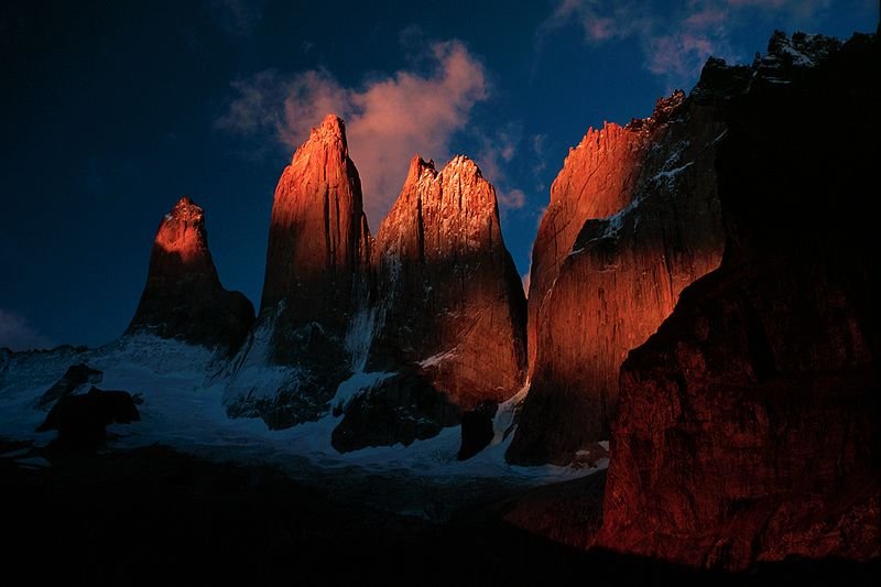
 https://commons.wikimedia.org/wiki/File:Torres_del_paine_at_sunrise.jpg
Source: Winky

Torres del Paine, or more correctly Cordillera del Paine, is a spectacular group of mountains in the Torres del Paine National Park in Patagonia, Chile. It is located 400 km (244 miles) north of Punta Arenas, and about 2,500 km south of the Chilean capital Santiago.
Torres del Paine is within the Commune of Torres del Paine in Última Esperanza Province of Magallanes y Antártica Chilena Region. So far no accurate surveys have been published, so the numbers given on this page are approximations.
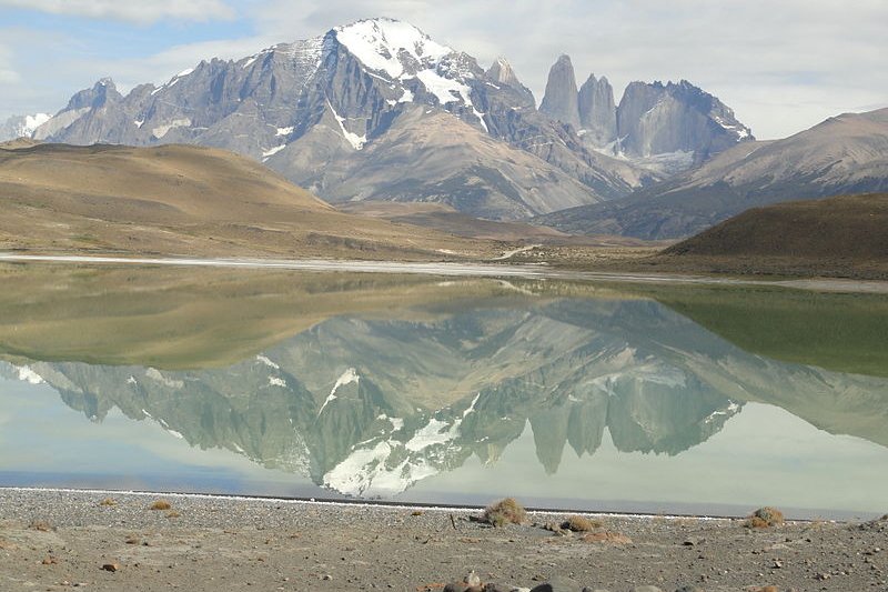
The highest summit of Torres del Paine is probably Cerro Paine Grande, which is believed to be 2,750 meters tall. The most spectacular summits are the Towers of Paine, or Torres del Paine in Spanish. These gigantic granite monoliths were shaped by glacial ice.
 Torres del Paine in March
Source: https://commons.wikimedia.org/wiki/File:Torres_del_Paine_in_March.JPG
Author: Felipe de la Fuente Diaz

The South Tower of the group is about 2,500 meters tall and is believed to be the tallest of the three. It was first climbed by Armando Aste. The Central Tower is about 2,460 meter or 8,100 feet tall, and was first climbed in 1963 by Chris Bonington and Don Whillans.
The North Tower, standing at about 2,260 meters in height, was first climbed by Guido Monzino. Other summits of the group include the Cuerno Principal, about 2,100 m tall and Cerro Paine Chico, about 2,650 m.
The Torres del Paine National Park covers an area of 2,400 sq km. It was declared a Biosphere Reserve by the UNESCO in 1978.
The area is a popular hiking destination. It has clearly marked and well maintained paths and many refugios which provide shelter and basic services.
Tourists come to Torres del Paine to enjoy its breathtaking views. Hikers can opt for a day trip to see the towers, walk the popular "W" route in about five days, or trek the full circle in 8-9 days. The "W" route is the most popular, and was named after the shape of the route. Hikers start and finish at either of the base points of the "W", performing each of the three shoots as a day trip. The five points of the W, from west to east, are:
- Glacier Grey, a large glacier calving into the lake of the same name. Camping is available next to Refugio Grey.
- Refugio Pehoe, situated on Lago Pehoe. This site offers good views of the "horns" of Torres del Paine.
- Valle del Francés ("Frenchman's Valley"), often rated as the best scenery in the whole park. The path leads up into a snowy dead-end, where several small glaciers are visible.
- Hosteria las Torres, a large hotel at the base of the mountain range.
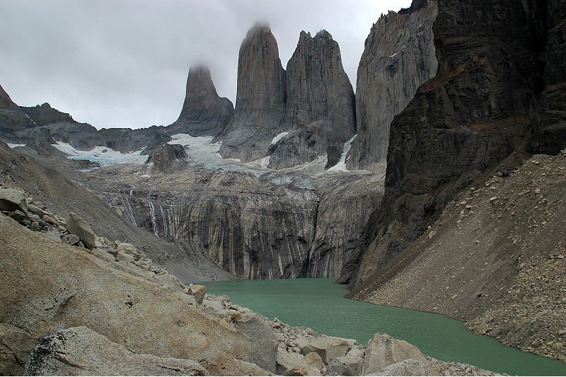
- The Torres del Paine themselves, large rock formations over a small lake, high in the mountains.
 Torres del Paine
 https://commons.wikimedia.org/wiki/File:Torres_Paine.jpg
Source: Mirko Thiessen

The longer "circuit" walk includes all the sights of the "W", but avoids most backtracking, by connecting Glacier Grey and the Torres del Paine around the back of the mountain range.
Boats and buses provide transport between Hosteria las Torres, Refugio Pehoe, and the park entrance at Laguna Amarga.
Torres del Paine is a national park. Hikers are not allowed to stray from the paths. Camping is only at designated campsites, and wood fires are prohibited. In 2005, a Czech backpacker camping in the park used a gas stove and caused a fire that destroyed 160 sq km of the park. Replanting, with assistance from the Czech Republic, is underway.
How to reach Torres del Paine
There are daily buses run from Puerto Natales, which is 4 hours away. The fare is around 10000 and 12000 pesos. There are no direct buses for El Calafate but many tour operators offer them. It is possible to go directly from El Calafate to the park and even return another day, although this is expensive. Latest updates on Penang Travel Tips
About this website

Thanks for reading this page. My name is Timothy Tye. My hobby is to research information about places, and share the information with people on this website. I started this website on 5 January 2003, and since then, have written about over 20,000 places, mostly in Malaysia and Singapore.
Please use the information on this page as guidance only. While I try my best to provide you information that is as accurate as I can get it to be, I do apologize for any errors. Also, as I might not be able to update some information on time, some of these pages may contain outdated information.
Copyright © 2003-2024 Timothy Tye. All Rights Reserved.


 Go Back