 Temenggor Lake (29 April, 2017)
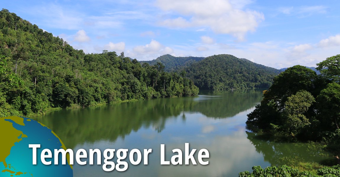
Temenggor Lake (GPS: 5.55072, 101.33583) is a large man-made lake in Perak, Malaysia. Located in Hulu Perak District, about 45 km from the district capital, Gerik, it is the second largest lake in Peninsula Malaysia. The lake was formed when the Temenggor Dam was built in 1978.
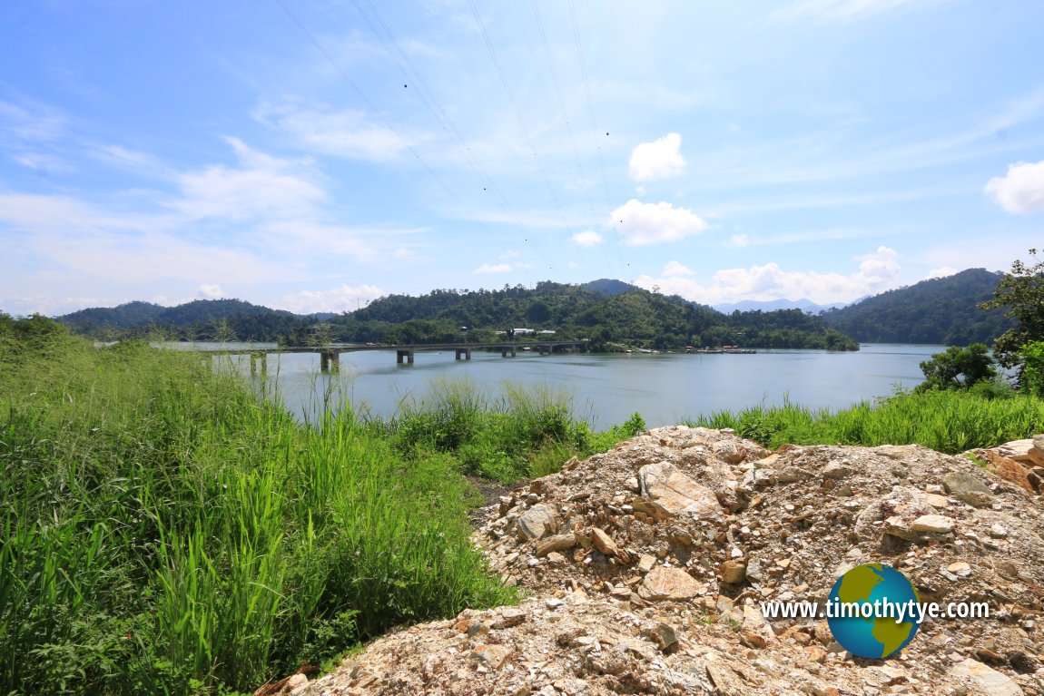
Located in the middle of the lake is Pulau Banding, a man-made island formed by the rising waters of the dam. The East-West Highway passes right through Pulau Banding. It is carried across by Jambatan Tasik Temenggor, a set of two bridges which at 880 meters and 640 meters are the longest bridges along the highway.
 View of Temenggor Lake with Jambatan Tasik Temenggor (West) and Pulau Banding. (29 April, 2017)
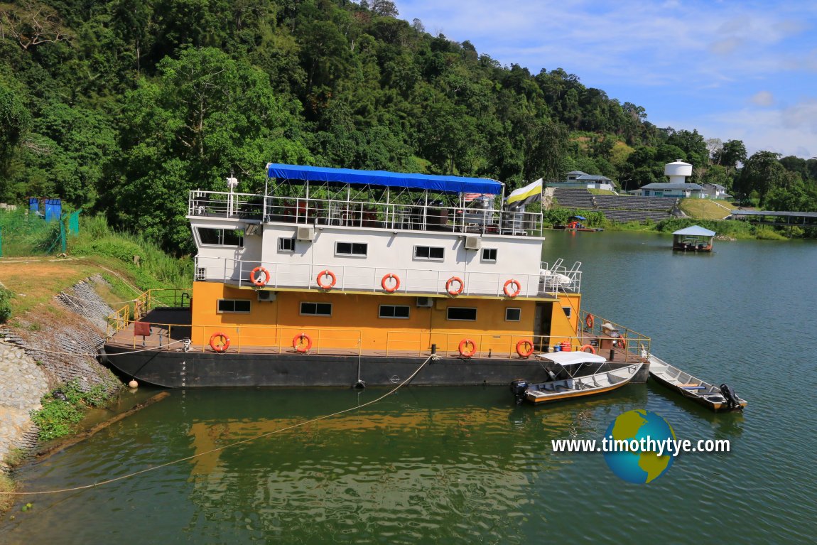
 Passenger barge on Temenggor Lake (29 April, 2017)
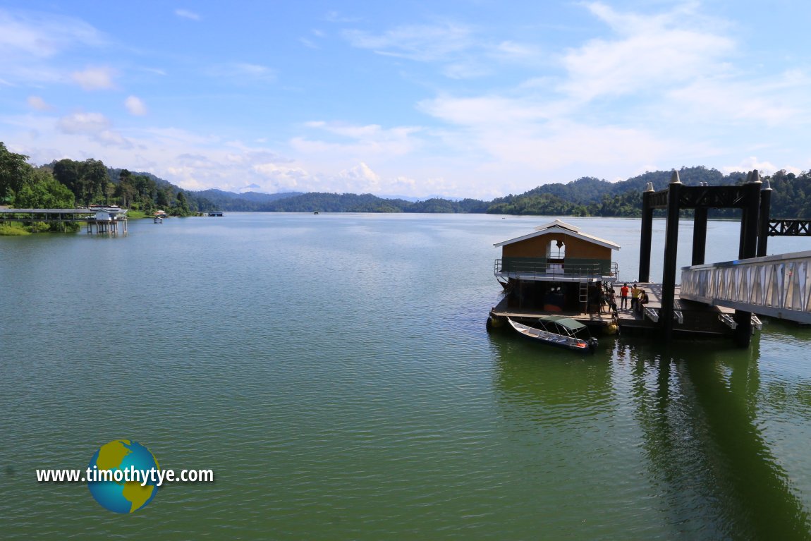
 View of Temenggor Lake from the Pulau Banding Passenger Jetty. (29 April, 2017)
Temenggor Lake on Google Maps Street View
Jambatan Tasik Temenggor (West) crossing Temenggor Lake (Mar 2014)Temenggor Lake is  on the map of East-West Highway
Back to Discover Perak mainpage; list of Lakes in Malaysia
 Latest updates on Penang Travel Tips
About this website

Dear visitor, thank you so much for reading this page. My name is Timothy Tye and my hobby is to find out about places, write about them and share the information with you on this website. I have been writing this site since 5 January 2003. Originally (from 2003 until 2009, the site was called AsiaExplorers. I changed the name to Penang Travel Tips in 2009, even though I describe more than just Penang but everywhere I go (I often need to tell people that "Penang Travel Tips" is not just information about Penang, but information written in Penang), especially places in Malaysia and Singapore, and in all the years since 2003, I have described over 20,000 places.
While I try my best to provide you information as accurate as I can get it to be, I do apologize for any errors and for outdated information which I am unaware. Nevertheless, I hope that what I have described here will be useful to you.
To get to know me better, do follow me on Facebook!
Copyright © 2003-2025 Timothy Tye. All Rights Reserved.

 Go Back