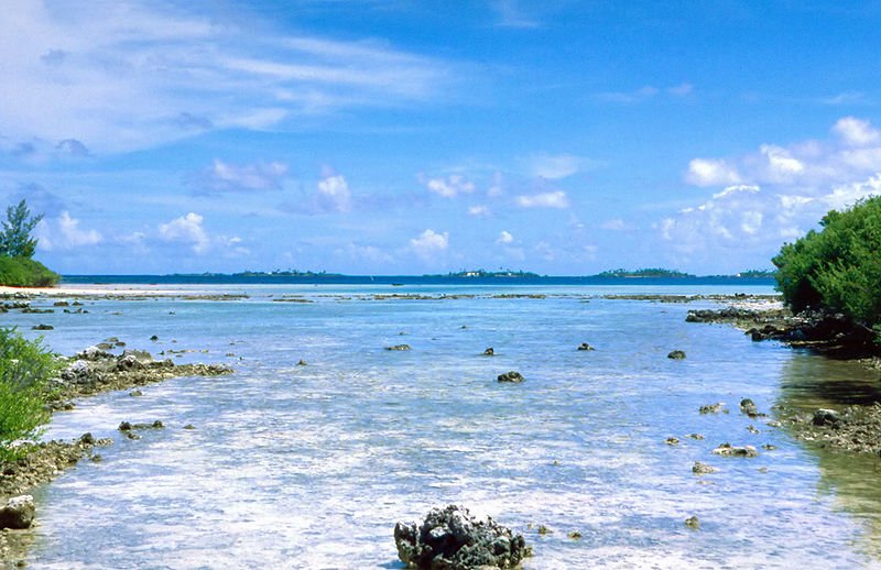
 Manihi, French Polynesia
Source: https://en.wikipedia.org/wiki/File:Manihi2.jpg
Author: American

Manihi is one of the northernmost atolls of the Tuamotu Archipelago, in French Polynesia. It has a surface area covering 13 sq km (5 sq mi) and a population of 900 people (2012 estimate).
Mahini is an oval-shaped atoll, like a pearl necklace measuring 20 km (12 mi) in length and 10 km (6 mi) across. The atoll encircles a lagoon renowned for the diversity of its marine life and clear waters. The only opening between the lagoon and the ocean is located on the southern end. It is called Passe de Tairapa. There are a couple of villages on Mahini. The principal village is Paeua while another smaller village is Turipaoa. The nearest land to Manihi is the Ahe Atoll 14 km to the west.
Manihi Atoll was first discovered in 1615-16 by Dutch explorers Jacob le Maire and Willem Schouten. Over a century later, British explorer John Byron arrived there, in 1765, and named it the Prince of Wales Island.
Today the economy of Manihi is based on pearl farming. This is where the highly prized Polynesian black pearls were produced.
Visiting Manihi
There are daily flights to Manihi from Rangaroa. Latest updates on Penang Travel Tips
Songs about Penang
About this website

Hello and thanks for reading this page. My name is Timothy and my hobby is in describing places so that I can share the information with the general public. My website has become the go to site for a lot of people including students, teachers, journalists, etc. whenever they seek information on places, particularly those in Malaysia and Singapore. I have been doing this since 5 January 2003, for over twenty years already. You can read about me at Discover Timothy. By now I have compiled information on thousands of places, mostly in Peninsular Malaysia and Singapore, and I continue to add more almost every day. My goal is to describe every street in every town in Malaysia and Singapore.
Copyright © 2003-2024 Timothy Tye. All Rights Reserved.


 Go Back