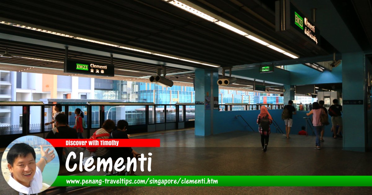
 Clementi, Singapore (29 July 2017)
Clementi (Simplified/Traditional Chinese: 金文泰, Jīnwéntài; Tamil: கிளிமெண்டி) is a planning area of Singapore. Located in the West Region of Singapore, it is bordered by Bukit Batok in the north, Bukit Timah in the northeast, Queenstown in the southeast and Jurong East in the west.
Clementi is located in Singapore Postal District 21.
The planning area of Clementi is divided into 9 neighbourhoods called subzones. They are Clementi Central, Clementi North, Clementi West, Clementi Woods, Faber, Pandan, Sunset Way, Toh Tuck and West Coast.
Map of Clementi, Singapore
MRT stations in Clementi, Singapore
- Clementi MRT Station (GPS: 1.31532, 103.76513)

Apartments, Condominiums and HDB Flats in Clementi, Singapore
- Elta Residences (GPS: 1.30754, 103.76884)

Shopping malls in Clementi, Singapore
- The Clementi Mall (GPS: 1.31491, 103.7643)

List of Planning Areas in Singapore and Places in Singapore; Discover Singapore Sights in Singapore
 Latest updates on Penang Travel Tips
 Streets of Singapore and Map of Singapore Streets
 Singapore MRT and Map of Singapore MRT
 Postal Districts of Singapore and Map of Singapore Postal Districts
 Planning Areas of Singapore and Map of Singapore Planning Areas
About this website

Thanks for reading this page. My name is Timothy Tye. My hobby is to research information about places, and share the information with people on this website. I started this website on 5 January 2003, and since then, have written about over 20,000 places, mostly in Malaysia and Singapore.
Please use the information on this page as guidance only. While I try my best to provide you information that is as accurate as I can get it to be, I do apologize for any errors. Also, as I might not be able to update some information on time, some of these pages may contain outdated information.
Copyright © 2003-2024 Timothy Tye. All Rights Reserved.
 Sights in Singapore
 Latest updates on Penang Travel Tips
 Streets of Singapore and Map of Singapore Streets
 Singapore MRT and Map of Singapore MRT
 Postal Districts of Singapore and Map of Singapore Postal Districts
 Planning Areas of Singapore and Map of Singapore Planning Areas
Copyright © 2003-2024 Timothy Tye. All Rights Reserved.


 Go Back