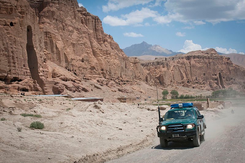
 Afghan Uniformed Police patrol car at Bamiyan Valley
Source: https://commons.wikimedia.org/wiki/File:ANP-Bamyan.jpg
Author: Sgt Ken Scar

Author: Sgt Ken Scar

Bamiyan (بامیان), the largest city in Hazarajat Region, is the capital of Bamiyan Province, Afghanistan. It is located at an elevation of 2,800 m (9,200 ft), about 240 km to the northwest of Kabul. It is an ancient city that has been around since the time of the Silk Road. It was named after the Hindu-Buddhist monastery that was established in the area during the ancient time. The name comes from the Sanskrit word varmayana, meaning "colored".
Bamiyan is famous for its colossal Buddhist statues, including the tallest in the world. Unfortunately the statues were destroyed by the Taliban in March 2001, on the grounds that they were un-Islamic.
What's the climate of Bamiyan?
Bamiyan has an arid climate. The warmest months are July and August, when the average high temperature reaches 26.1°C (79°F) and often higher. Coldest month is January, when the temperature drops to -12.1°C (10.2°F). Precipitation in Bamiyan is low, totalling just around 133 mm (5.236 in) a year.At the foot of the statues were caves. These were used by the Taliban to store weapons. After the Taliban were ousted from the area, the caves became home to civilians. In 2008, refugees living in the caves stumbled upon a fantastic collection of Buddhist statues and jars. The jars are stuffed with ancient Buddhist manuscripts which are of great archaeological significance.
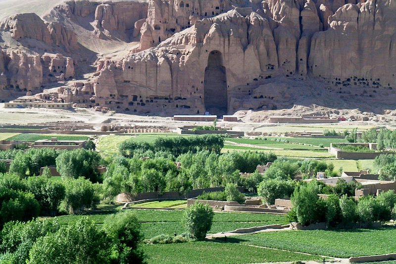
 Remains of the caves of the destroyed statues of Bamiyan
Source: https://commons.wikimedia.org/wiki/File:Destroyed_Statue,_July_17,_2005_at_15-53.jpg
Author: Tracy Hunter

Author: Tracy Hunter

What are the places of interest in Bamiyan?
- Bamiyan Valley
- Destroyed Buddhas of Bamiyan
- Fort of Shahr-e Gholghola
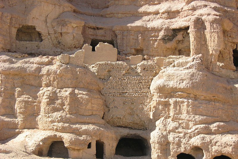
 Caves and tunnels at Bamiyan that were once used by monks
Source: https://commons.wikimedia.org/wiki/File:Monk_Caves_in_Bymian_Valley.jpg
Author: Tracy Hunter

Author: Tracy Hunter

 Latest updates on Penang Travel Tips
 Map of Roads in Penang
Looking for information on Penang? Use this Map of Roads in Penang to zoom in on information about Penang, brought to you road by road.
Copyright © 2003-2025 Timothy Tye. All Rights Reserved.

 Go Back