Herat is the third largest city in Afghanistan. Located at an elevation of 920 m (3,018 ft), it has a population of around 400,000 (2011 estimate). The city is located in a valley of the Hari River, in the western part of Afghanistan. The city is connected to Kandahar and Mazar-e-Sharif by Highway 1 that connects the major cities of the country.
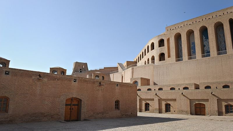
 The Citadel of Herat in Afghanistan
Source: https://commons.wikimedia.org/wiki/File:Citadel_in_Herat_in_2011-cropped.jpg
Author: S.K. Vemmer

Author: S.K. Vemmer

Herat is an ancient city with a history going back 2,700 years. It has been ruled by various powers though its long history. In the early 18th century, Herat was ruled by the Safavid Dynasty until 1747, when it became part of the Durrani Empire. There was some fighting here during the Anglo-Afghan wars, but unlike other cities of Afghanistan, was spared much of the destruction of the 20th century wars.
Places of Interest in Herat
- Friday Mosque
- Gazar Gah
- Military Museum
- Minarets of Sultan Baiqara
- Musalla Complex
- Takht-e Safar
- The Citadel
- Tomb of Jami
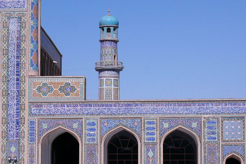
 The Friday Mosque in Herat
Source: https://commons.wikimedia.org/wiki/File:Herat_Masjidi_Jami_minaret.jpg
Author: Sven Dirks, Wien

Author: Sven Dirks, Wien

 Latest updates on Penang Travel Tips
 Map of Roads in Penang
Looking for information on Penang? Use this Map of Roads in Penang to zoom in on information about Penang, brought to you road by road.
Copyright © 2003-2025 Timothy Tye. All Rights Reserved.

 Go Back