Kandahar (کندهار) is the second largest city in Afghanistan. Located in the southeastern part of the country, it has a population of 468,000 (2011 estimate). The city is at an elevation of 1,000 m (3,281 ft). It observes the Afghanistan Standard Time, which is UTC+4:30.
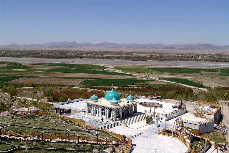
 The Shrine of Baba Wali at the outskirts of Kandahar
Source: https://commons.wikimedia.org/wiki/File:Baba_Saab.JPG
Author: PRTkand

Author: PRTkand

How old is Kandahar?
The city of Kandahar is one of the oldest human settlements in the country. The area has been inhabited for over seven thousand years. The city itself is believed to have been founded by Alexandria the Great around 330 BC. Its name is said to have been derived from Alexandria, or Iskandriya in the local language.Kandahar was conquered by Arab Muslims during the 7th century. That was when Islam was introduced to the city. The city has been ruled by various powers through its long history. There were various Muslim rulers that fought each other for control of the city until the 19th century, when the British occupied the city during the two Anglo-Afghan wars.
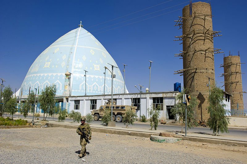
 Kandahar University Mosque
Source: https://commons.wikimedia.org/wiki/File:A_member_of_the_security_team_in_front_of_the_university_mosque_110922-A-UU878-002_(6267956721).jpg
Author: NATO Training Mission-Afghanistan

Author: NATO Training Mission-Afghanistan

In the 20th century, Kandahar has seen American and Soviet military presence. It was captured by the Taliban in August 1994. Then in 2001, the city's Taliban military bases were attacked by US cruise missiles, which forced them out of Kandahar, transferring control to the Afghan National Police. Since then, the city has been subject to regular Taliban rocket and ground attacks.
Places of Interest in Kandahar
- Kandahar Museum
- Mosque of the Cloak of the Prophet Mohammad
 Latest updates on Penang Travel Tips
 Map of Roads in Penang
Looking for information on Penang? Use this Map of Roads in Penang to zoom in on information about Penang, brought to you road by road.
Copyright © 2003-2025 Timothy Tye. All Rights Reserved.

 Go Back