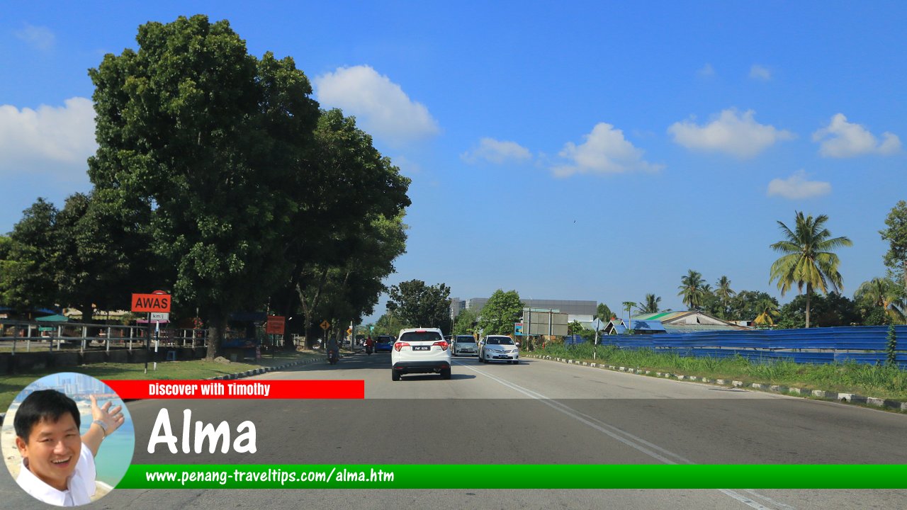
 Alma, Bukit Mertajam (9 March 2024)
Alma (GPS: 5.32987, 100.4781) is a place in Bukit Mertajam, Seberang Perai. Named after the village of Kampung Alma, it is bordered by Jalan Kulim in the north, Jalan Kampung Baru in the northwest, the KTM railway line to the west, Permatang Tinggi to the south, Machang Bubok to the east and Cherok Tokun to the north.
The main roads through Alma are Jalan Alma and Jalan Rozhan. This is in addition to Jalan Alma which connects Jalan Bukit Minyak to the west with Jalan Rozhan to the east. Old villages still existing in the Alma area includes Kampung Kijang and Kampung Baru.
In the past few years, the Alma area has seen rapid development, with several large housing estates being established in the area. To cater to the increase in population, a number of shopping malls have been constructed in the area, including Tesco Bukit Mertajam and AEON Mall Bukit Mertajam.
 Map of Alma, Bukit Mertajam
 Landed Residential Properties in Alma
- The Sky (GPS: 5.30984, 100.4972) planned

 Landed Residential Properties in Alma
- Desa Impian 2 (GPS: 5.30752, 100.49315)

- Hillpark Residences (GPS: 5.32513, 100.49464)

- Jesselton Hills (GPS: 5.31775, 100.4881)

- Permatang Sanctuary (GPS: 5.30789, 100.48289)

- Residency Palma (GPS: 5.31438, 100.48972)

- Sentrino (GPS: 5.33137, 100.48361)

- Taman Alma Jaya (GPS: 5.32581, 100.47944)

- Taman Desa Cahaya (GPS: 5.33633, 100.48226)

- The Glades (GPS: 5.31852, 100.48466)

Older housing Estates in Alma
- B Garden
- Desa Impian
- Taman Budiman
- Taman Impian Jaya
- Taman Impian Ria
- Taman Jernih
- Taman Nirwana
- Taman Pinggiran Alma
- Taman Sejahtera
- Taman Sri Janggus
 Sights in Alma, Bukit Mertajam
- Masjid Jamek Alma Jaya (GPS: 5.321833, 100.477741)

- Sri Maha Mariamman Devasthanam, Alma (GPS: 5.331025, 100.477735)

Shopping in Alma
- AEON Mall Bukit Mertajam (GPS: 5.320070, 100.476861)

- Pasaraya Jaya Gading (GPS: 5.330899, 100.476472)

- Pasaraya Wonderful (GPS: 5.33116, 100.47992)

- Tesco Bukit Mertajam (GPS: 5.31617, 100.47627)

 Eateries in Alma
- Lau Yew Food Court (GPS: 5.329881, 100.480198)
- Pusat Makanan dan Minuman Good B (GPS: 5.330990, 100.475877)
 Petrol Stations in Alma
- Caltex Jalan Roshan (GPS: 5.321998, 100.477266)
- Petronas Alma (GPS: 5.324946, 100.477228)
- Petron Jalan Rozhan (GPS: 5.3375, 100.48413)
- Petronas Jalan Rozhan (GPS: 5.33461, 100.48271)
Banks in Alma
- Maybank Alma (GPS: 5.33073, 100.47964)

 Businesses in Alma
- Wah Lee Group (GPS: 5.32651, 100.47788)

- WHH Land (GPS: 5.33403, 100.48253)
 Schools in Alma
- SJK (T) Ladang Alma (GPS: 5.331729, 100.476818)
- SK Alma Jaya (GPS: 5.32688, 100.47924)

- SRJK (C) Sin Ya (GPS: 5.330472, 100.477845)

Other sights in Alma
- Alma Rubber Estates Sdn Bhd (GPS: 5.332290, 100.477011)
- Pertubuhan Lin Shen Chen For Chong Thean Sien Tong (GPS: 5.329678, 100.481818)
Abandoned Development Projects in Alma
- Taikar Plaza (GPS: 5.32828, 100.47802)

Streets in Alma
Nearby Sights
Getting there
Only Jalan Kulim has a bus route. It is served by Rapid Penang bus 709.Alma is  on the Map of Seberang Perai
 Alma, Bukit Mertajam (13 July 2014)
More on Bukit Mertajam; List of Towns in Penang and Towns in Malaysia

Copyright © 2003-2025 Timothy Tye. All Rights Reserved.

 Go Back