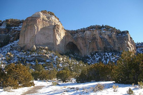
 El Malpais National Monument, New Mexico
Source: https://commons.wikimedia.org/wiki/File:ElMalpaisLava.JPG
Author: Chackerman

El Malpais National Monument preserves the volcanic field in western New Mexico. Covering 114,277 acres (462 sq km), the monument was established on 31 December, 1987. It was named after the Spanish word Malpaís which means badlands, in reference to the barren landscape of the area.
El Malpais National Monument is part of the Zuni-Bandera volcanic field, an area located some 8,366 ft (2,550 m). The area is rimmed by huge sandstone bluffs that have been carved by the wind and water. There are also a few inactive and some potentially active volcanoes within the monument, which is also home to some of the oldest Douglas Fir trees in the world.
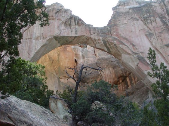
 Ventana Arch, El Malpais National Monument
Source: https://commons.wikimedia.org/wiki/File:Malpais_Natural_Arch.jpg
Author: J Dykstra

Among the sights at El Malpais National Monument are its lava tube caves. These however are now off limits to recreational exploration. The eastern bluffs offer panoramic view over the El Malpais lava plains.
 Ventana Arch, El Malpais National Monument
Source: https://commons.wikimedia.org/wiki/File:El_Malpais_NM_Ventana_Arch.jpg
Author: Sascha Brück

Visiting El Malpais National Monument, New Mexico
The nearest big town from El Malpais National Monument is Grant. Take Interstate-40 to Exit 89 south of Grant, then head southwest on New Mexico State Route 117 to reach the monument. The site is open all year round, with the visitor center open daily from 8:00 am to 5:00 pm MST and in summer 9:00 am to 6:00 pm MDT. There are no entrance fees to this national monument. Latest updates on Penang Travel Tips

Copyright © 2003-2025 Timothy Tye. All Rights Reserved.

 Go Back