Kahoolawe is the smallest of the eight main islands of the Hawaiian archipelago. It covers 44.6 sq mi (115.5 sq km). Kahoolawe measures 11 miles (18 km) long and 6 miles (9.7 km) across.
Kahoolawe is arid, as it is in the rain shadow of Maui's Haleakala volcano. The island is today uninhabited due mainly to the lack of readily available freshwater. It was used by the US military for live-fire training, which was eventually ended in 1990.
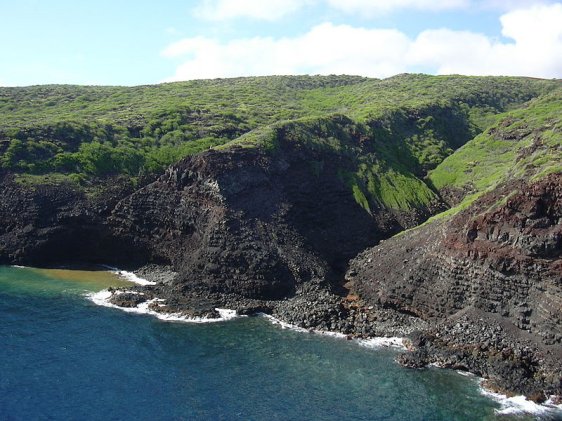
 Kahoolawe coastal landscape
Source: https://commons.wikimedia.org/wiki/File:Starr_041014-0205_Chamaesyce_celastroides.jpg
Author: Forest & Kim Starr

The highest point on Kahoolawe is Puu Moaulanui, at 1,477 ft (450 m) above sea level. It is part of the crater of Lua Makika.
Today the island has been established as the Kahoolawe Island Reserve (since 1993), and is used mainly by native Hawaiians for cultural and religious purposes.
Visiting Kahoolawe
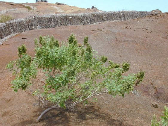
Presently Kahoolawe has not been developed for tourism, so there are no regular public transport to the island. Arid landscape of Lua Makika on Kahoolawe
Source: https://commons.wikimedia.org/wiki/File:Starr_030429-0055_Chenopodium_oahuense.jpg
Author: Forest & Kim Starr

 Latest updates on Penang Travel Tips

Copyright © 2003-2025 Timothy Tye. All Rights Reserved.

 Go Back