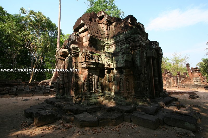
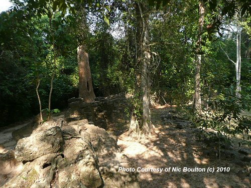
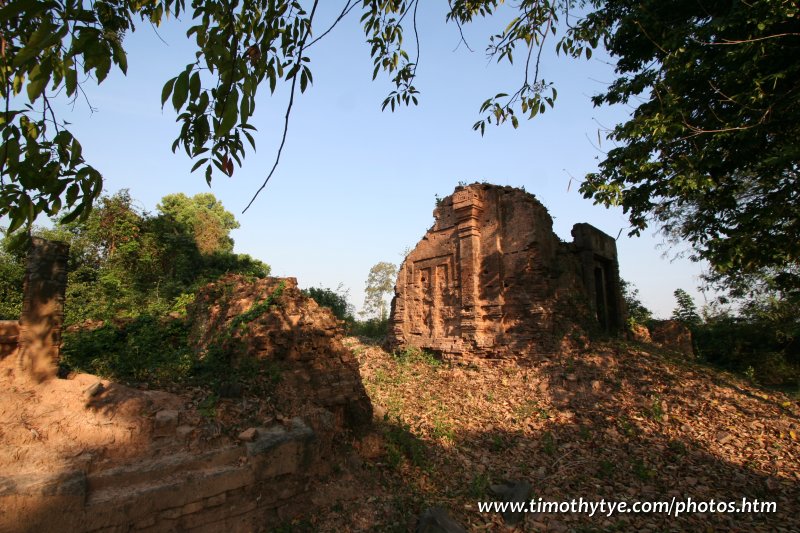
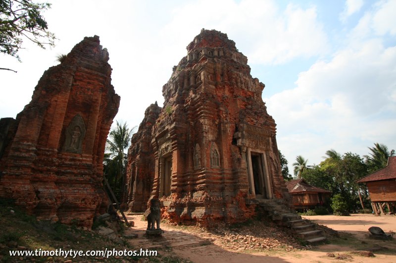
 Monuments of Angkor (25 February, 2006)
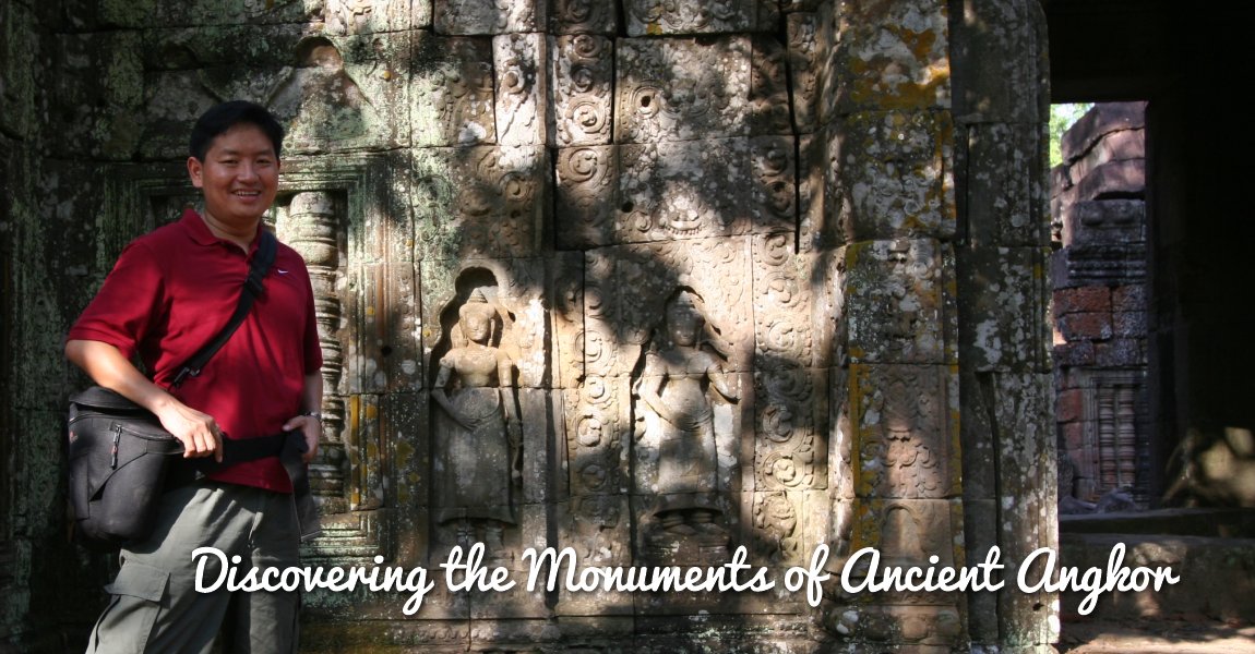
Discovering the Monuments of Ancient Angkor is a comprehensive guide to the temples and other heritage remains of Angkor. This guide has over 70 pages, each describing a different ancient temple or structure, with photos and details, along with precise map and GPS coordinates, so that, should you plan to visit Angkor, you have all the information you would need for a fulfilling trip.
The Angkor World Heritage Site is located to the north of Siem Reap in Cambodia, is the main focus of visitors coming to view the ruins of Angkor.
The name Angkor អង្គរ conjures images of the exotic, a place distant from our everyday existence. Whether it's sunlight on Angkor Wat, or the parting of rain-drenched foliage to unveil the stone faces of Bayon, Angkor has enthrilled visitors over many generations. With calm finally settling on the troubled lands of the Khmers, a new wave of visitors can now come up close and admire the works of a mighty civilisation, lost, but now rediscovered and once again appreciated.
Map of Angkor
The Monuments of Angkor
This is one the most complete documentation of the temples of Angkor. I create it out of the many visits I have made to the ruins, as well as through the help of a few people who wrote to me after seeing this page. If you have explored Angkor, and would like to help me make the information richer, I look forward to hearing from you.


 Top 3 Monuments at Angkor

 Monument of Major Interest
 Monument of Significant Interest
 Monument of Minor Interest
 Obscure Monument of Limited Interest.
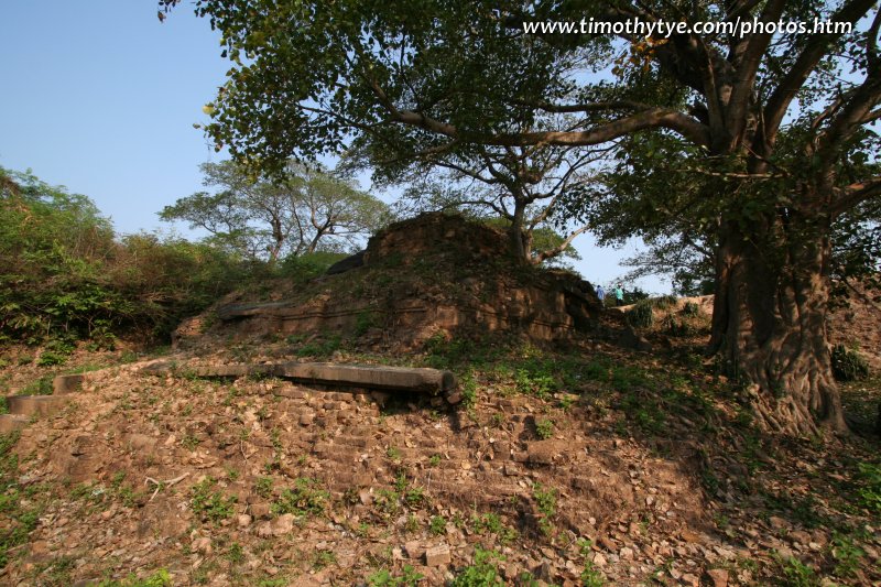
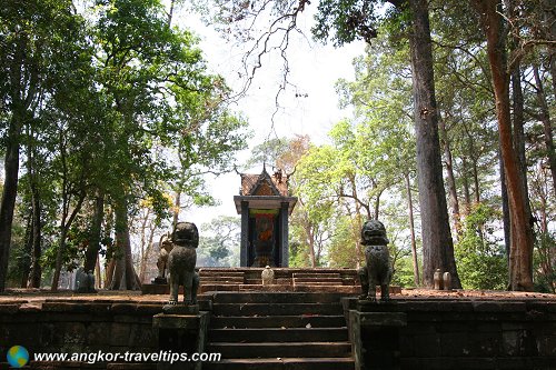
Ak Yum 
(GPS: 13.42477, 103.77672) 
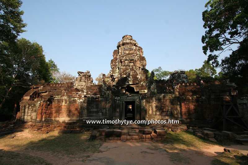
A small, out-of-the-way ruin which happens to be the oldest in the Angkor area.
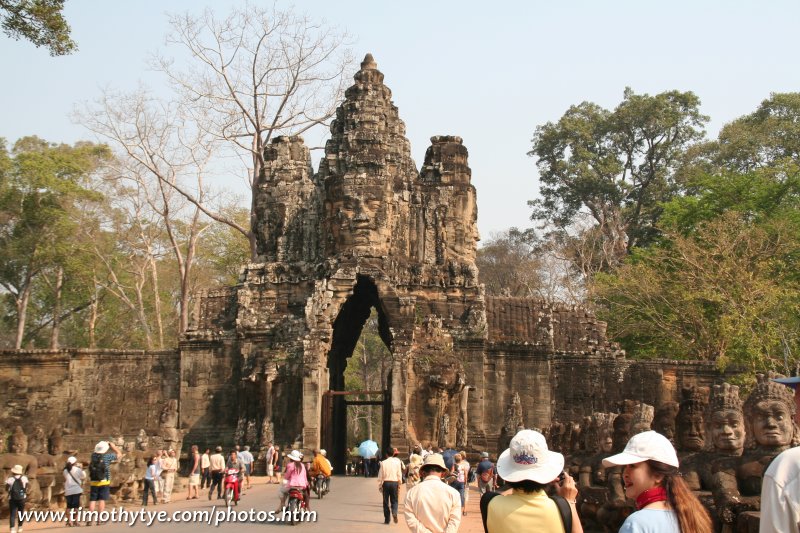
Angkor Thom 


(GPS: 13.43345, 103.86199) 
Ancient Khmer city with many significant ruins within its walls.
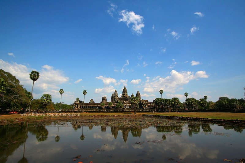
Angkor Wat 


(GPS: 13.40899, 103.8638) 
The largest temple ruin in the world, Angkor Wat is the biggest and most significant sight in the whole area.
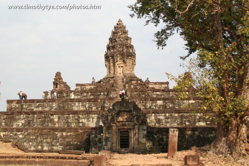
Bakong 

(GPS: 13.33584, 103.97409) 
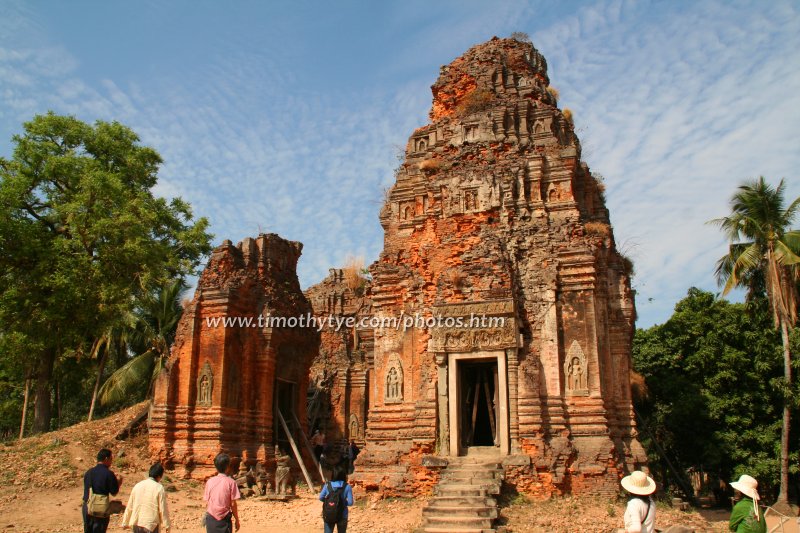
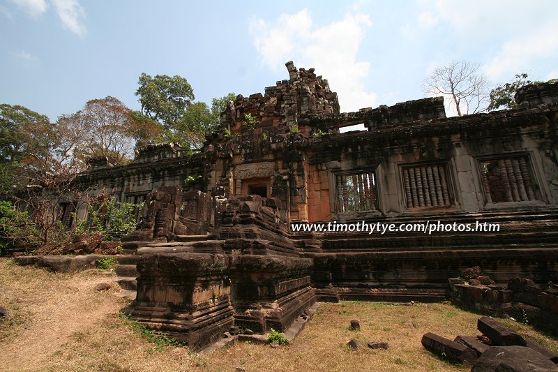
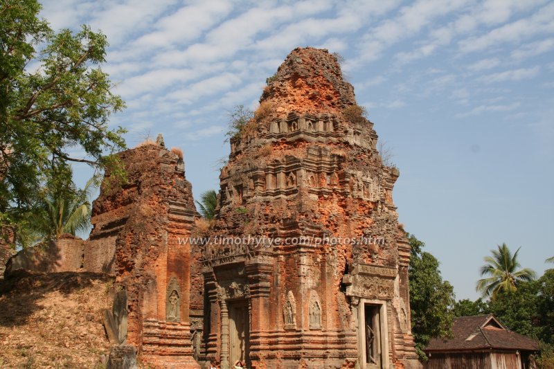
An early Angkor ruin from the Rolous Group, Bakong is the prototype pyramid temple that set the style for more to come.
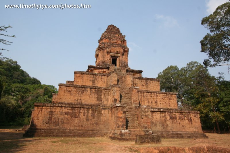
Baksei Chamkrong 
(GPS: 13.42504, 103.85811) 
A relatively insignificant ruin located close to the south gate of Angkor Thom.
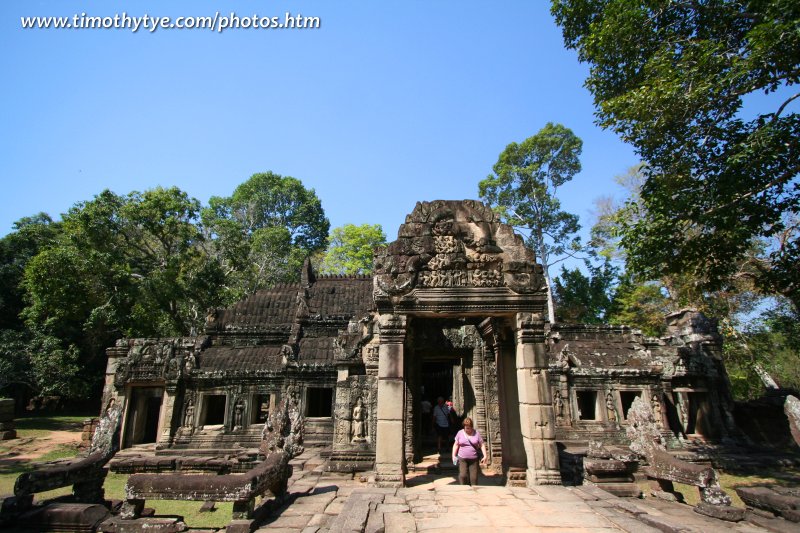
Banteay Kdei 

(GPS: 13.42977, 103.89914) 
A huge, sprawling monastery complex, Banteay Kdei is one of the significant ruins.
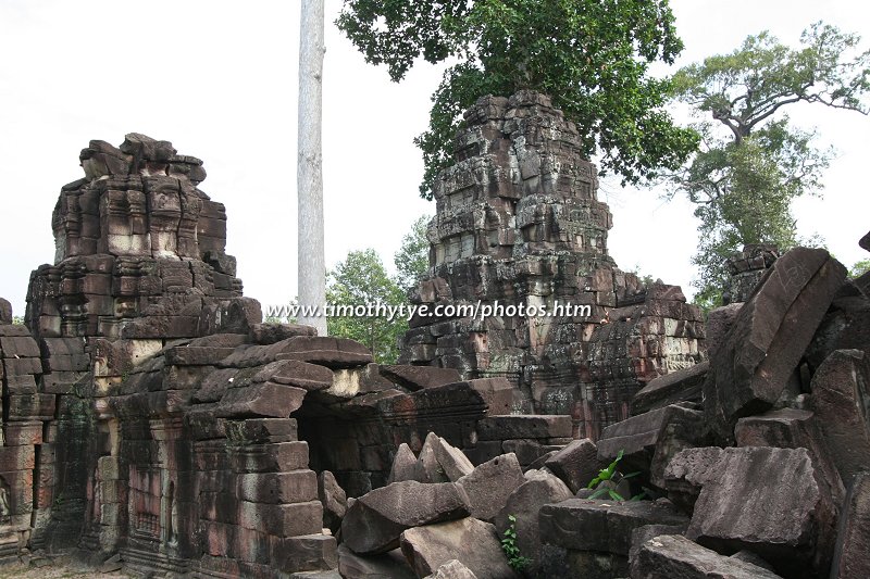
Banteay Prei 
(GPS: 13.46913, 103.8768) 
A small, unimpressive, and incomplete ruin located close to Neak Pean.
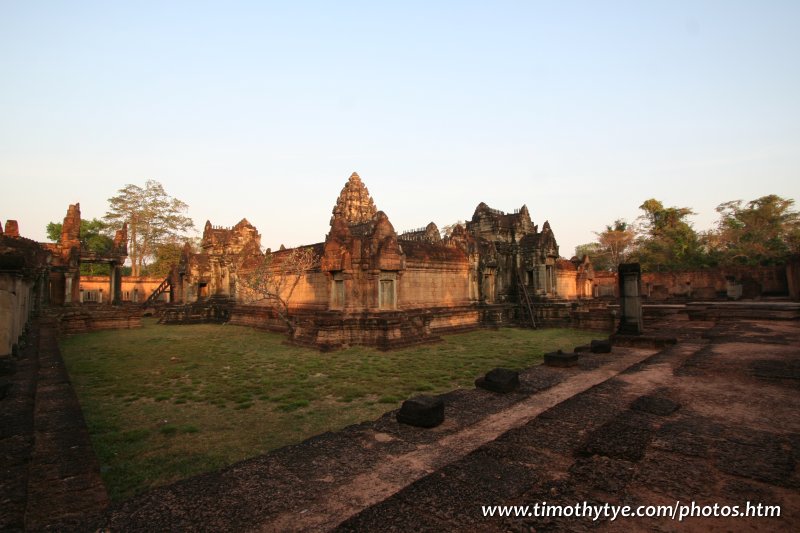
Banteay Samre 

(GPS: 13.44209, 103.9593) 
A smaller version of Angkor Wat, Banteay Samre is slightly out of the way, but worth a visit to appreciate its excellent carvings.
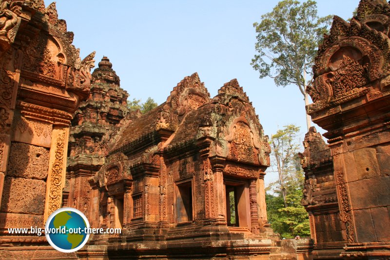
Banteay Srei 


(GPS: 13.59883, 103.9628) 
Although much out of the way and small in size, Banteay Srei, with some of the most exquisite carvings in Angkor, is very much one of the star attractions.
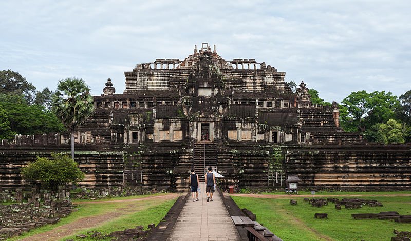
Baphuon 

(GPS: 13.44361, 103.8562) 
The world's biggest jigsaw puzzle, the Baphuon is one of the biggest pyramid temples in Angkor, but is still undergoing massive restoration.
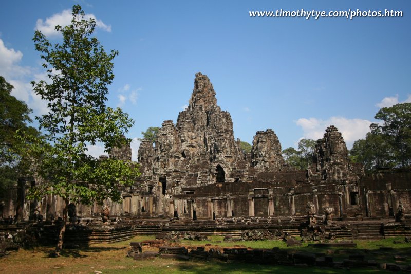
Bayon 


(GPS: 13.44102, 103.85918) 
A favourite among many visitors, this Temple of Stone Faces is the icon of Angkor.
Chapel of the Hospital 
(GPS: 13.44543, 103.88094) 
One of the two ruins of hospital chapels still standing in the Angkor area.
Chau Say Tevoda 
(GPS: 13.44528, 103.8774) 
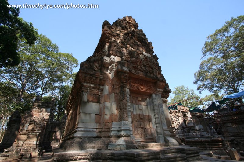
This small ruin to the east of Angkor Thom is similar in design to Thommanon, located on the opposite side of the road.
East Mebon 

(GPS: 13.44651, 103.92015) 
A temple that once stood on an island surrounded by the now dry manmade reservoir East Baray.
Hariharalaya 
(GPS: 13.33767, 103.96568) 
Ancient Khmer City that gives rise to the ruins of the Roluos Group.
Kbal Spean 
(GPS: 13.681, 104.0207) 
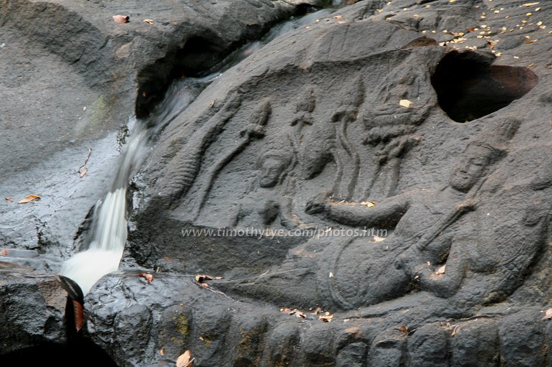
Very much out of the way, Kbal Spean are carvings of linggas on the Siem Reap river flowing down Phnom Kulen.
Krol Romeas 
(GPS: 13.45857, 103.86342) 
A small Angkor monument connected with the water channelling of the East Baray.
Kutisvara 
(GPS: 13.43394, 103.89972) 
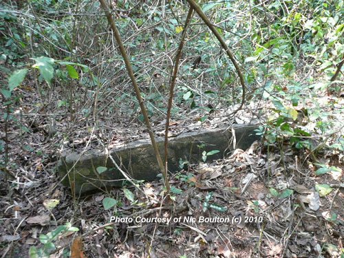
One of the most insignificant - and difficult to find - ruin in the Angkor area.
Mangalartha 
(GPS: 13.44389, 103.86787) 
One of the most obscure ruins in Angkor, Mangalartha requires some searching to find.
North Khleang 
(GPS: 13.44725, 103.86087) 
One of the ruins in Angkor Thom is an advanced state of dilapidation.
Phimeanakas 

(GPS: 13.4455, 103.85628) 
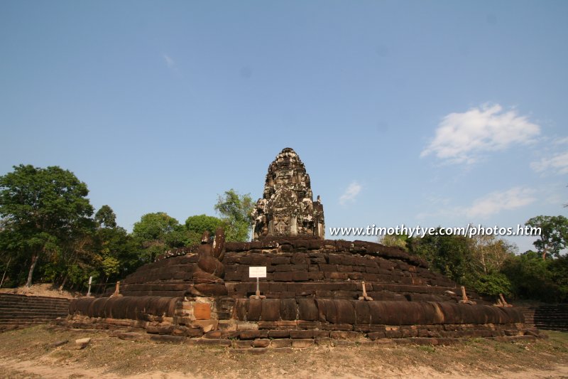
Phimeanakas is a steep pyramid temple with a local legend associated to it.
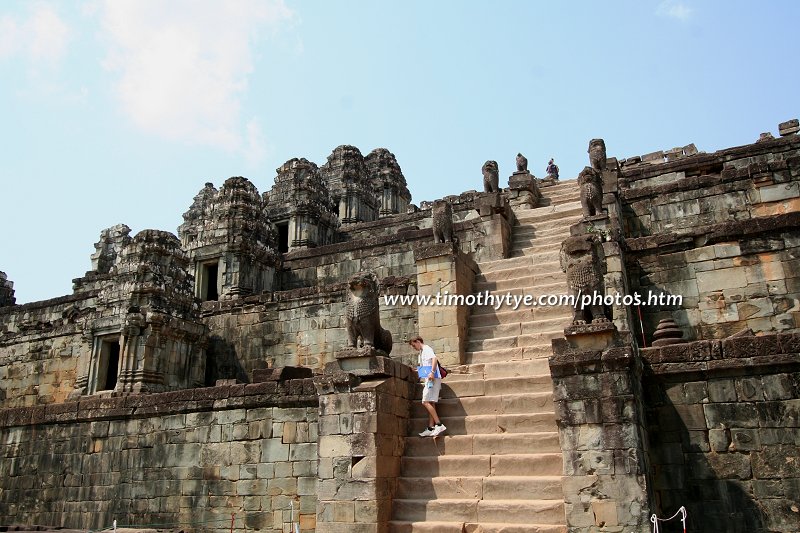
Phnom Bakheng 


(GPS: 13.42372, 103.85594) 
A favourite site for sunset views of Angkor Wat, Phnom Bakheng is a state temple of an early Angkor empire, similar to the Bayon.
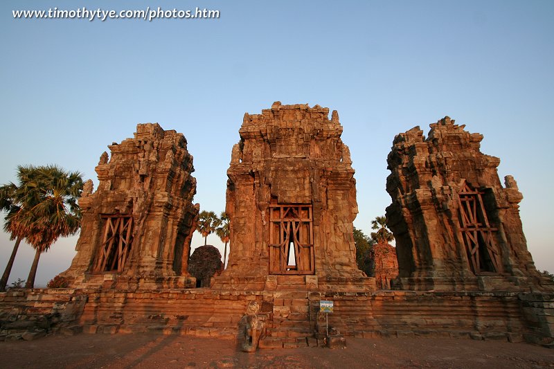
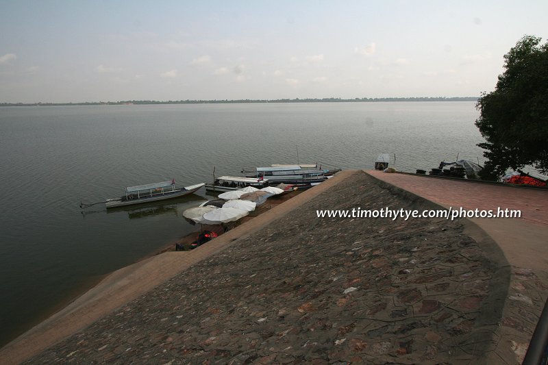
Phnom Krom 
(GPS: 13.28593, 103.81432) 
Out of the way, and requires climbing, Phnom Krom rewards visitors with scenic views of the surrounding Angkor region.
Prasat Bat Chum 
(GPS: 13.42468, 103.90785) 
Off the beaten path, Prasat Bat Chum is a small insignificant ruin.
Prasat Bei 
(GPS: 13.42585, 103.85616) 
An obscure temple between Phnom Bakheng and the moat of Angkor Thom.
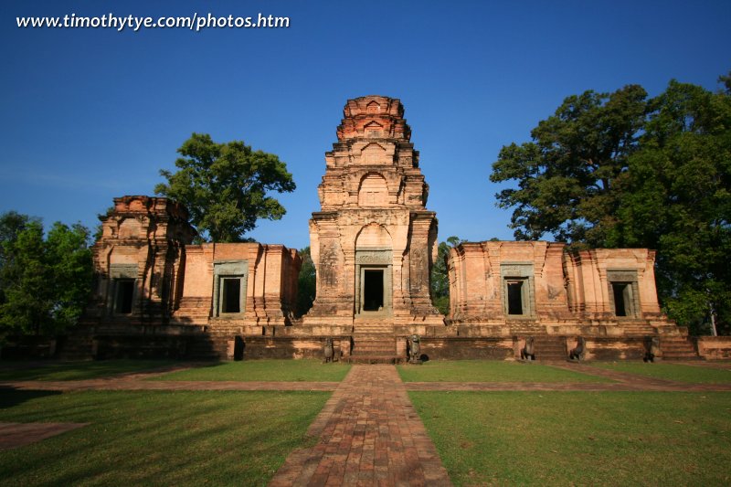
Prasat Kravan 

(GPS: 13.41917, 103.90062) 
Prasat Kravan is significant for its carved reliefs on bricks.
Prasat Kuk Dong 
(GPS: 13.31624, 103.96764) 
Prasat Kuk Dong is an obscure ruin to the south of Prasat Prei Monti.
Prasat Prei Monti 
(GPS: 13.32765, 103.97081) 
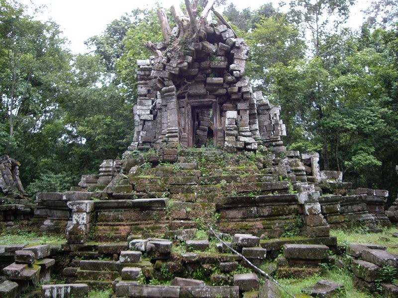
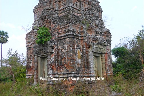
Obscure Angkor ruin within the Rolous Group.
Photo Credit: Benny Yap & Nic Boulton
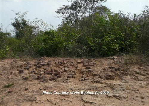
Prasat Sak Kraop 
(GPS: 13.42622, 103.85817) 
An insignificant heap of stones between Thma Bay Kaek and Prasat Bei.
Prasat Suor Prat 
(GPS: 13.44639, 103.86052) 
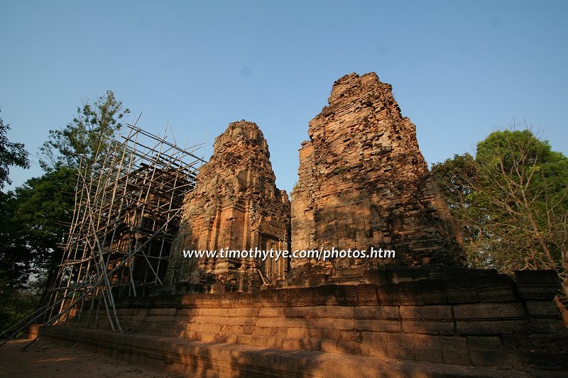
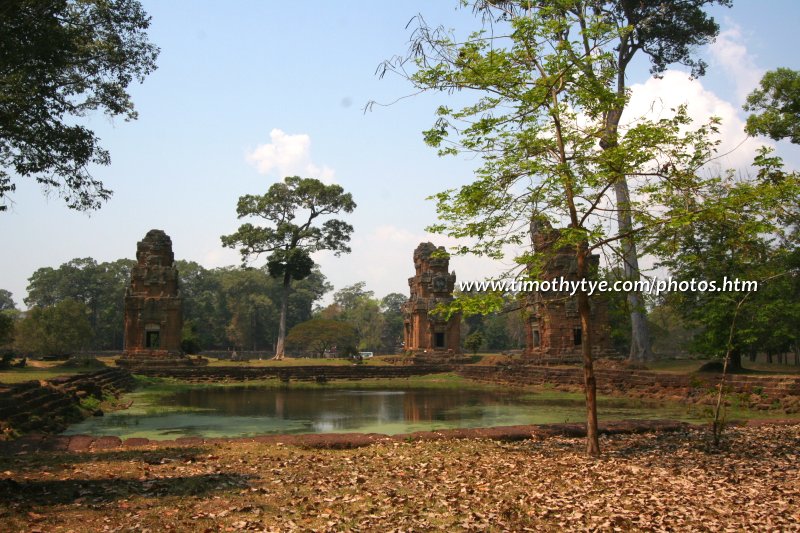
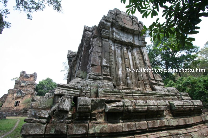
They appear impressive from afar, but these twelve towers are not impressive when viewed up close.
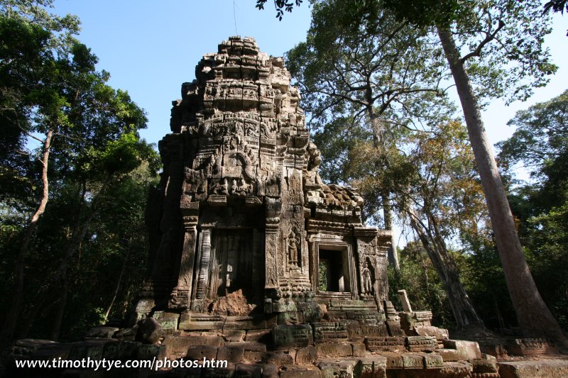
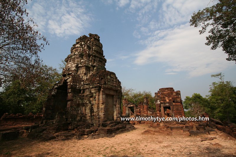
Prasat To 
(GPS: 13.45624, 103.95551) 
Obscure temple on the northeast corner of the now dried East Baray.
Prasat Totoeng Thngai 
(GPS: 13.31122, 103.95632) 
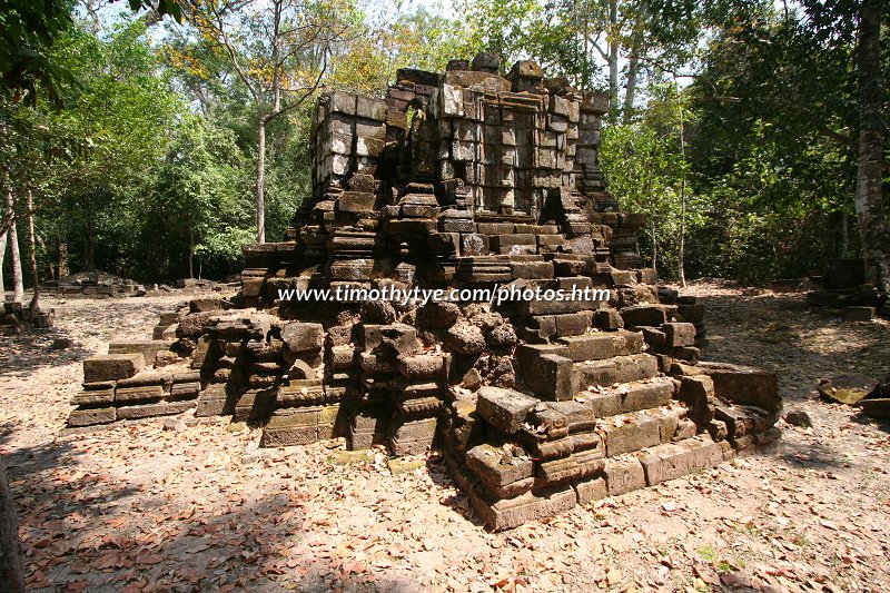
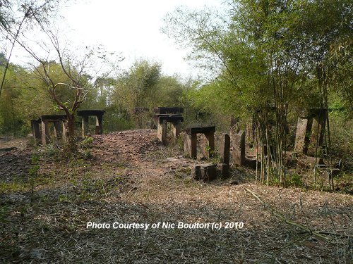
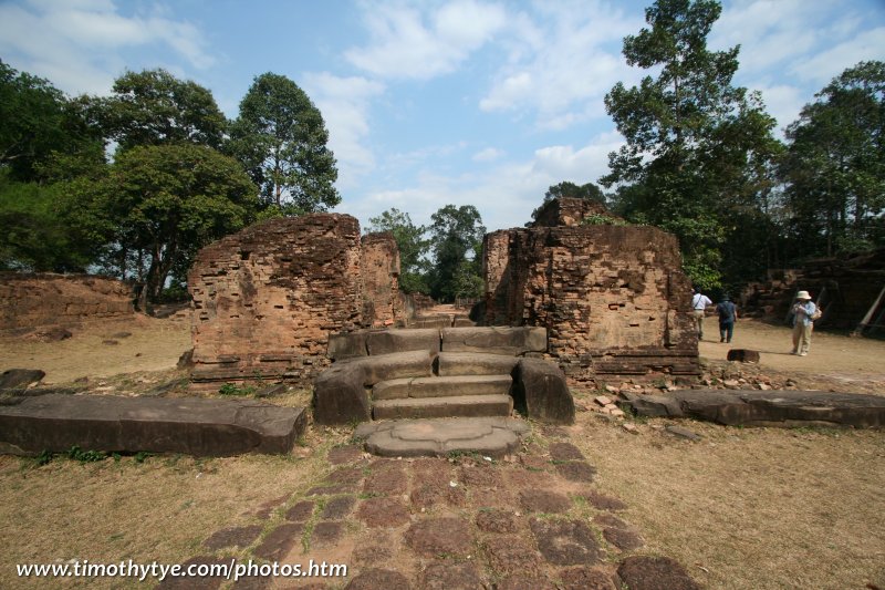
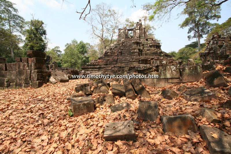
Stonehenge-like ruins on the southern part of the Roluos group.
Photo Credit: Nic Boulton
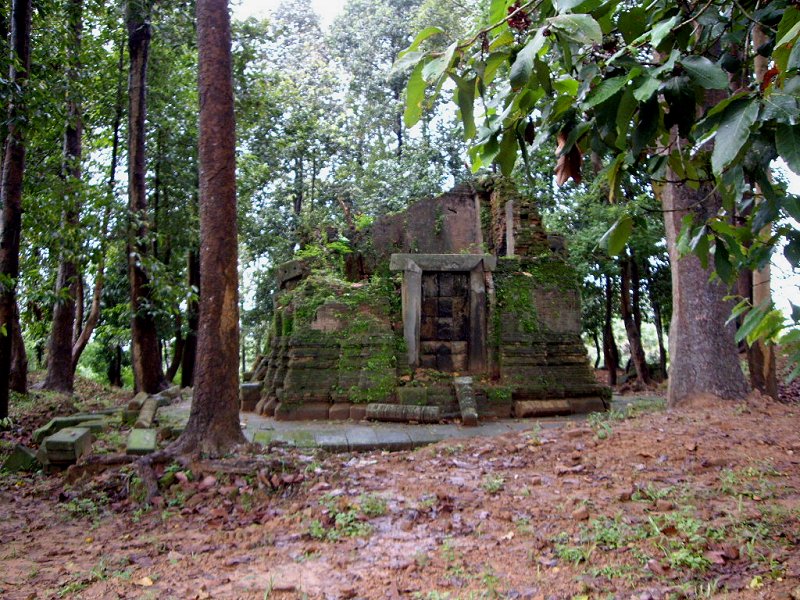
Prasat Trapeang Phong 
(GPS: 13.30921, 103.96773) 
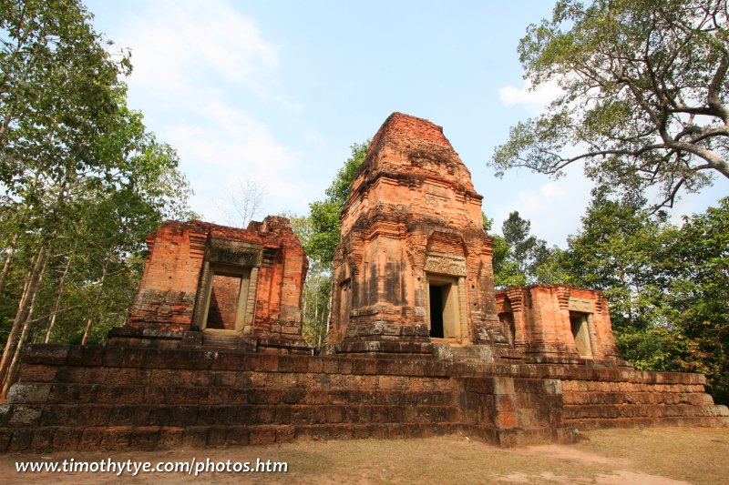
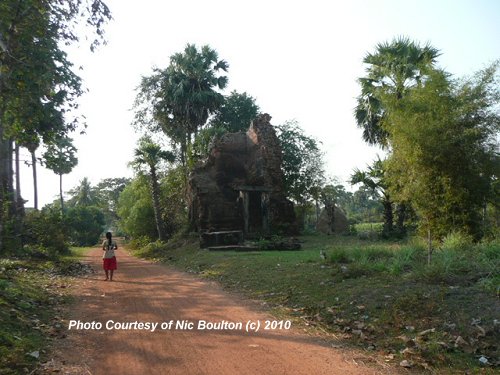
Prasat Trapeang Phong is a lone sanctuary to the south of Prasat Prei Monti.
Photo Credit: Nic Boulton
Preah Khan 


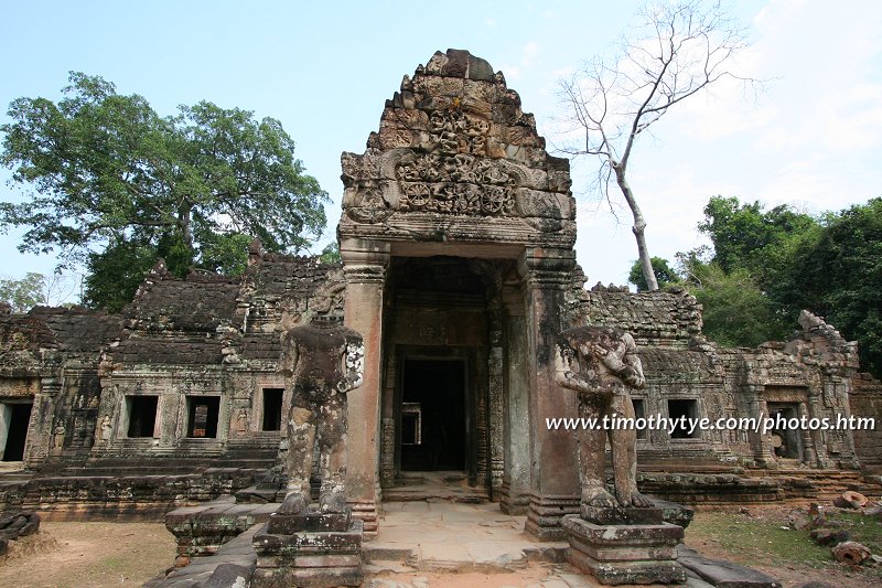
(GPS: 13.46216, 103.87144) 
A massive monastery complex, Preah Khan has much to offer in terms of variety. It is the only ruin in Angkor with a two-storey structure.
Preah Palilay 
(GPS: 13.44904, 103.85466) 
Tucked away from view, Preah Palilay is a tower of sandstone and laterite in Angkor Thom.
Preah Pithu 
(GPS: 13.44858, 103.86161) 
Preah Pithu is not one, but five small, insignificant temple ruins grouped as one.
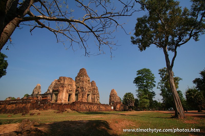
Pre Rup 

(GPS: 13.4348, 103.9207) 
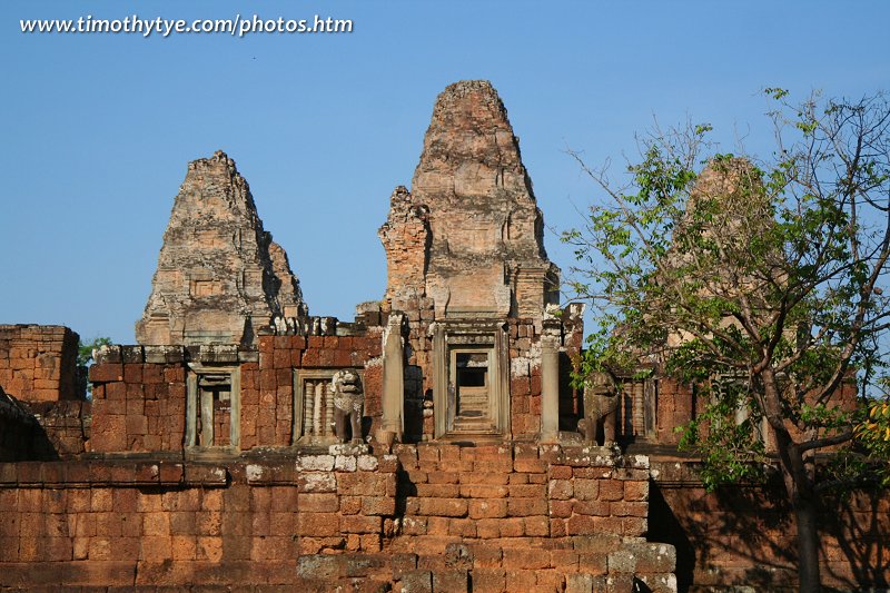
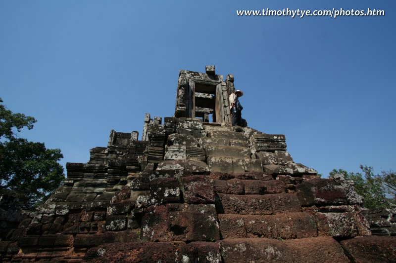
Temple mountain with beautiful carving of false-doors on its gopuras.
Royal Palace of Angkor Thom 
(GPS: 13.44535, 103.85788) 
Nothing much remains of the royal palace, except for its stone walls and a few ponds.
South Khleang 
(GPS: 13.44425, 103.86086) 
Like the North Khleang, an insignificant ruin within Angkor Thom.
Srah Srang 

(GPS: 13.43098, 103.90658) 
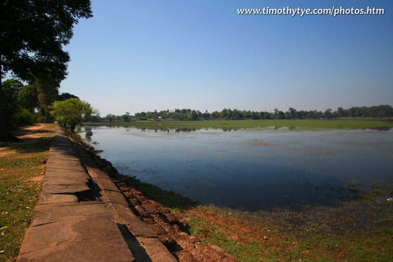
One of the smallest baray, Srah Srang is significant as a site for viewing sunrise in the Angkor area.
Svay Pream 
(GPS: 13.31724, 103.96278) 
Svay Pream is an obscure ruin to the south of the Roluos Group.
Photo Credit: Nic Boulton
Ta Keo 

(GPS: 13.44457, 103.88249) 
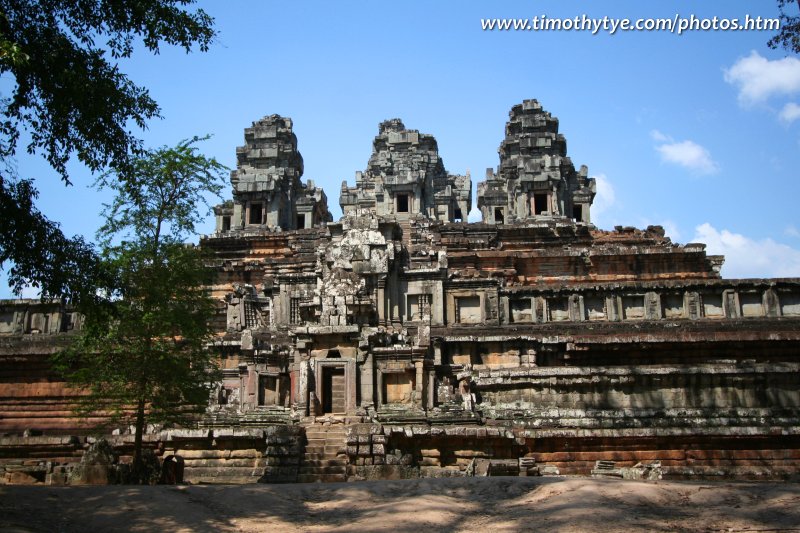
Huge in size, but relatively inferior in its carvings, Ta Keo is quite likely an incomplete Angkor temple.
Ta Prohm 


(GPS: 13.43451, 103.88955) 
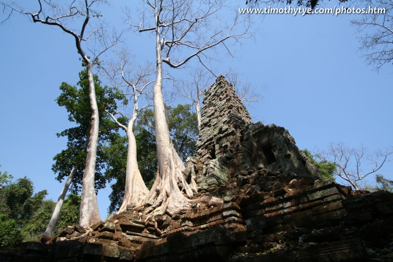
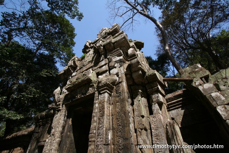
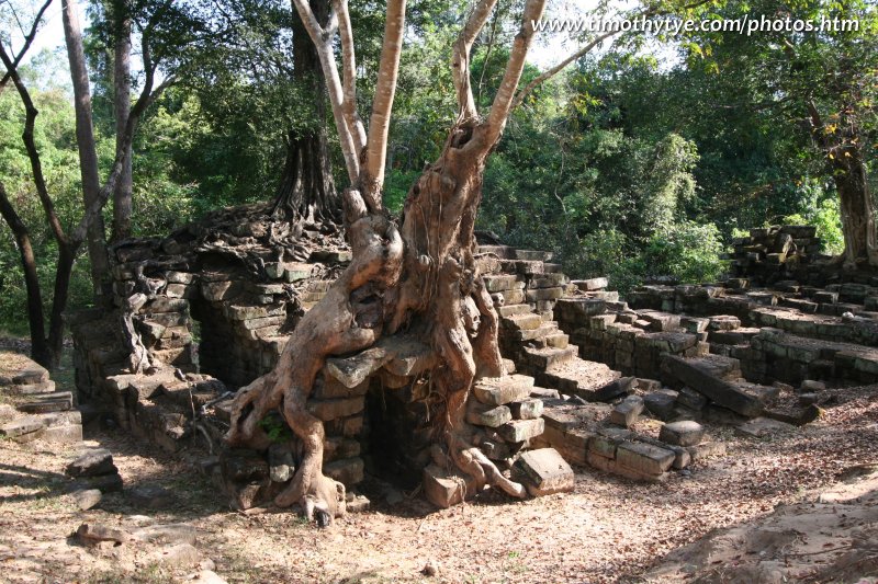
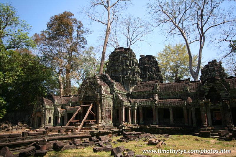
A beautiful temple complex, Ta Prohm is famous for being left in the state of disrepair. This is where you find giant fig trees wrapping their roots over the ruins.
Ta Prohm Kel 
(GPS: 13.4155, 103.85843) 
Ta Prohm Kel is another of the two hospital chapels remaining in the Angkor area.
Ta Som 
(GPS: 13.46367, 103.91349) 
The farthest temple ruin within the Grand Circuit, often given a miss by those in a hurry.
Tep Pranam 
(GPS: 13.44825, 103.85764) 
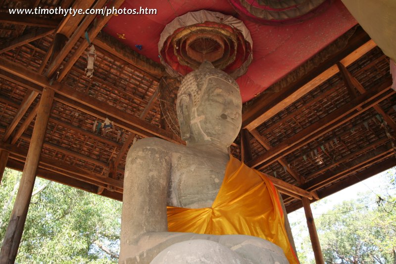
A long walkway with the Buddha statue at the end, Tep Pranam is one of the less significant sights in Angkor Thom.
Terrace of the Elephants 

(GPS: 13.44555, 103.85863) 
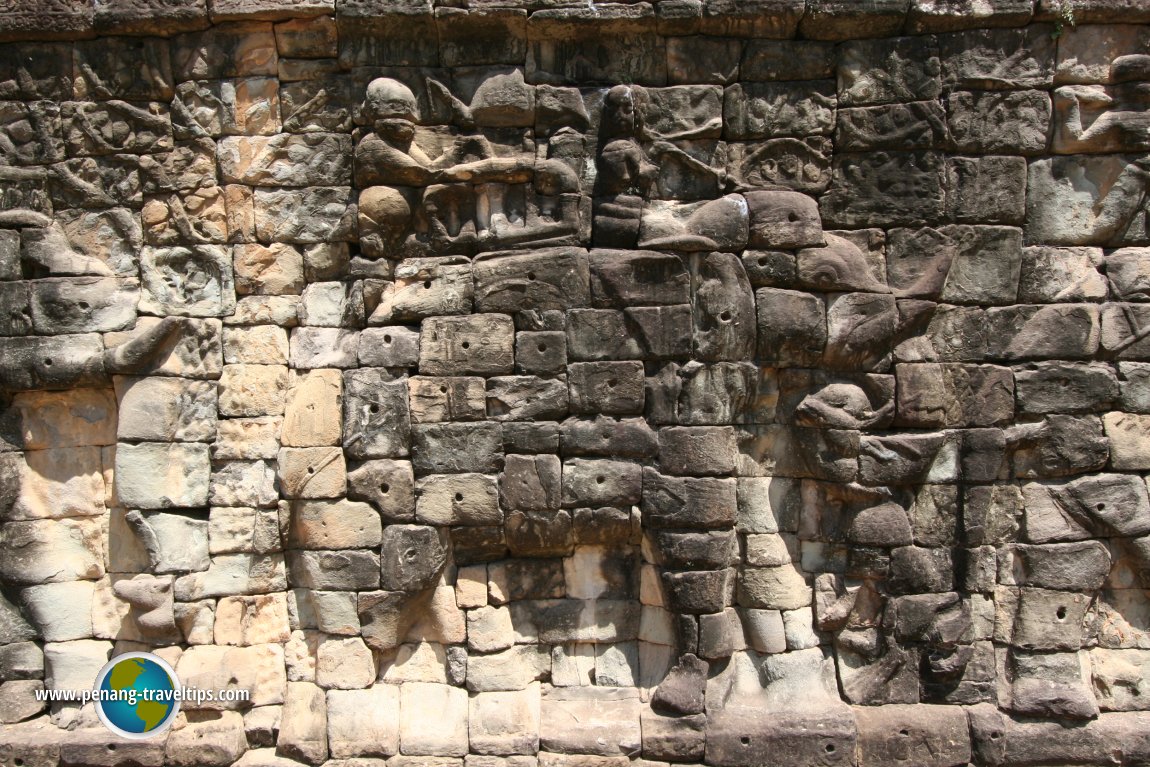
An impressive platform carved with marching elephants, a centrepiece of Angkor Thom.
Terrace of the Leper King 

(GPS: 13.4475, 103.85854) 
This terrace is significant more for its base carvings rather than for the statue of the Leper King (which incidentally, is a replica).
Thma Bay Kaek 
(GPS: 13.42622, 103.8588) 
A small, obscure ruin between Baksei Chamkrong and the south moat of Angkor Thom.
Thommanon 
(GPS: 13.44722, 103.87753) 
Almost identical to Chau Say Tevoda, Thommanon is a small, attractive temple east of Angkor Thom.
Trapaeng Kaek 
(GPS: 13.44722, 103.87753) 
A lone prasat on the country path about a kilometer to the west of Bakong.
Vihear Prampil Loveng 
(GPS: 13.44532, 103.86232) 
Buddhist terrace to the east of the Royal Palace of Angkor Thom.
West Baray 
(GPS: 13.43386, 103.77659) 
The biggest manmade reservoir in Angkor, the West Baray is still a massive body of water today.
Western Mebon 
(GPS: 13.43353, 103.80123) 
Difficult to reach, the Western Mebon is an insignificant ruin surrounded by the West Baray.
Other Angkor Monuments
The following are obscure Angkor monuments that I have since discovered.- Chaw Srei Vibol
12th century Angkor monument to the east of the Angkor Archaeological Park. - Phnom Bok
9th century hilltop temple built during the reign of King Yasovarman I.
My introduction to Angkor
I first learned about Angkor in my history book when I was eleven years old. I was mersmerized by the ancient ruins, and dreamed of one day having the chance to explore them in person. My first visitn was in 2002, and since then, I have visited Angkor three times - which is quite sufficient for me. I have covered the major as well as more obscure ruins. It has been my quest to describe each of them in detail, and now I am able to do it with Google Maps Street View, which helps me pinpoint their location with even greater detail. I hope you will enjoy my description and please feel free to add your own in the Big World Out There Facebook Group, and they will be listed below.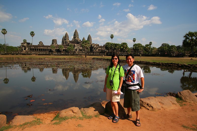 Tim and wife Chooi Yoke at Angkor Wat (24 February, 2006)
About Angkor
The word Angkor is a corruption of the Khmer word nokor or ongkor, which means "capital". It is derived from the Sanskrit nagara, the same word that yielded the Thai nakhorn and the Malay negara and negeri. As its name indicates, Angkor is a city, an ancient one of massive scale.The Angkorian period in Cambodian history is generally considered to extend from AD 802 to 1431. These dates should be treated as open-ended, as there were Khmers in the Angkor region before it became a capital, and Angkor was not completely deserted when the capital was moved, first to Oudong then to Phnom Penh.
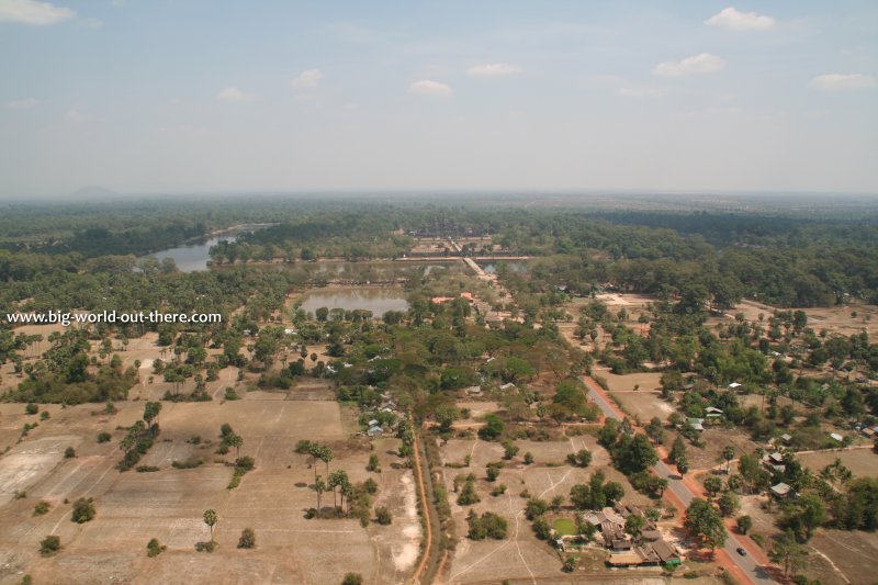 Here I view Angkor from a hot-air balloon (29 February, 2008)
Angkor Location
The temples of Angkor are located in the vicinity of the town of Siem Reap. The name Siem Reap means "The Siamese are defeated". It is the main town where all the hotels and creature comforts are available. Except for the Roluos Group of temples, which are 13kms east of Siem Reap, the majority of the important ruins are all located 7-25km north of Siem Reap, with the closest and biggest being Angkor Wat.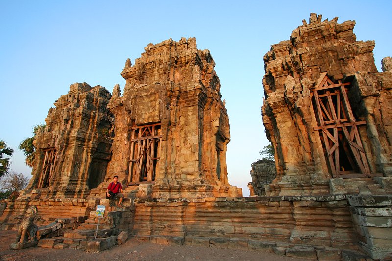 Tim at the Angkorian ruins of Phnom Krom (25 February, 2006)
Visiting Angkor
To visit the ruins of Angkor, particularly those within the archaeological park, you will need an Angkor Pass which is available for durations of one day (US$20), three days (US$40) and seven days (US$60). The pass is obtainable at the checkpoint enroute to Angkor Wat. For those getting multiple-day passes, a photograph of you will be shot at the checkpoint itself, and printed onto the pass, which acts as a souvenir of your visit to the Angkor Archaeological Park. At time of updating this page (June 2009), the authorities are in the process of modifying the rules so that in future (perhaps by the time you read this), visitors holding the 3-day pass can use it on any 3 days of a week, and those holding the 7-day pass can use it on any 7 days of a month. Visiting hours are from 5:00am until sunset. There's a US$30 to US$40 fine for not possessing a valid pass.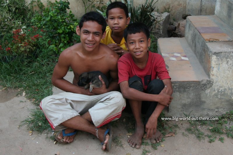 Children in Angkor (26 February, 2006)
Is Cambodia safe? While I would say it is, and is getting safer by the day, one should be cautious at all times, the same as one should be back home. I have walked the streets at night without fear of harm. Unless you take reckless risks, you should be assured of a safe and enjoyable trip. You will be surprised to see how crowded some of the more popular Angkor monuments can be, especially Angkor Wat.
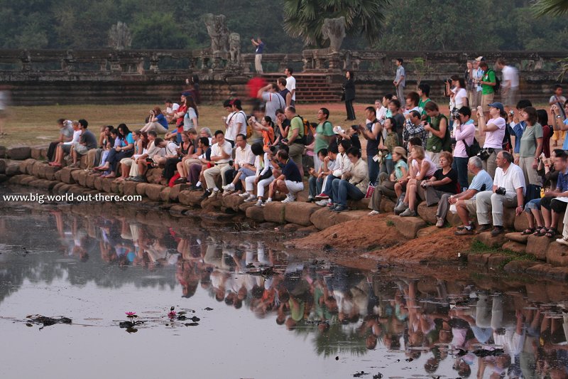 Tourists watching sunrise at Angkor Wat (26 February, 2006)
'Angkor' literally means 'Capital City' or 'Holy City'. 'Khmer' refers to the dominant ethnic group in modern and ancient Cambodia. In its modern usage, the term 'Angkor' has come to refer to the capital city of the Khmer Empire that existed in the area of Cambodia between the 9th and 12th centuries AD, as well as to the empire itself.
The Monuments of Angkor stand as one of the greatest ruins of an ancient civilization. The ancient Khmers have been so prolific in temple building that even today, scientists are discovering and studying newly ruins that have previously been lost under rubble and the jungle.
Today the ruins of Angkor lend themselves to a new life, as a major tourist attraction and top income earner for the otherwise poverished nation of Cambodia. The majority of these ruins are located in the vicinity of the town of Siem Reap, especially the area to the north of the town, that today forms the Angkor Archaeological Park. But not all the ruins are confined within the archaeological park. Those of the Roluos Group are located to the east of Siem Reap, Banteay Srey and Kbal Spean are to the north while Phnom Krom is by the banks of the Tonle Sap.
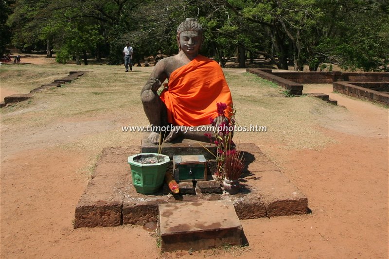
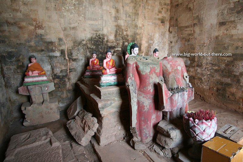 It is not uncommon to see latter Buddha statues added to the Angkor ruins, as is here, in Pre Rup. (24 February, 2006)
The monuments of Angkor was the first property in Cambodia to be inscribed as a World Heritage Site. Since then, the World Heritage Committee has inscribed a second site, the Temple of Preah Vihear.
1 February 2010 Update: I have been assisted by an online friend, Nic Boulton, who has just explored some of the lesser-known ruins of Angkor. I am added to this list the sites which Nic has explored.
Angkor World Heritage Site Inscription Details
Location: N 13 26 E 103 50Inscription Year: 1992
Type of Site: Cultural
Inscription Criteria: I, II, III, IV
Moving About Angkor
Angkor World Heritage Site is the star attraction of any visit to Siem Reap. Let me take you to explore the ruins of Angkor from the comfort of your desk.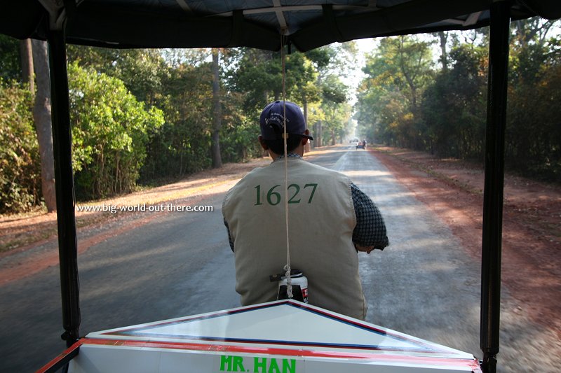 Angkor tuk tuk (24 February, 2006)
It's too time consuming to walk from Siem Reap to the ruins. You are better off hiring either a bicycle or a motorcycle, or get a tuk tuk to drive you around. You can make the arrangements when you are in Siem Reap.
Food in Angkor
In front of many major ruins are stalls selling food and drinks. The biggest are located in front of Angkor Wat and across from the Terrace of the Elephants at Angkor Thom. These are usually local fare peppered with a generous supply of roadside dust. If you can't stomach that, then you should head back to your hotel in Siem Reap for lunch, and return for the afternoon sojourn.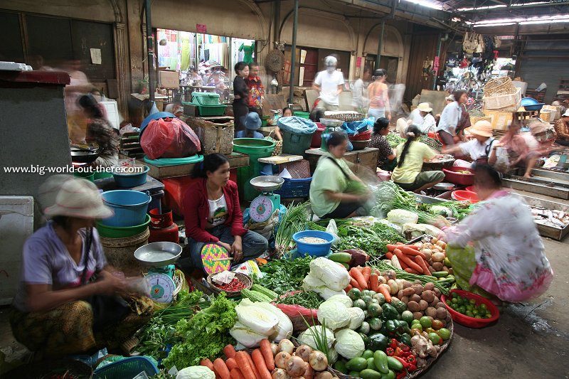 The market in Siem Reap (23 February, 2006)
Elephant Rides in Angkor
You won't get far, but at least you travel in style, like the Khmer kings of old. Elephant bookings can be done at their stations at Bayon and at the foot of Phnom Bakheng.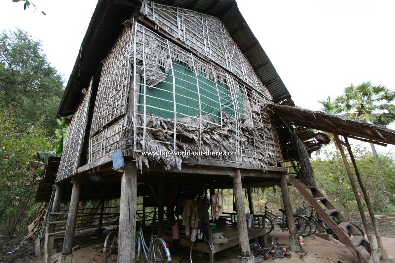 Farm shed in rural Cambodia near the ruins of Angkor (23 February, 2006)
 [an error occurred while processing this directive]
 Latest updates on Penang Travel Tips
 Map of Roads in Penang
Looking for information on Penang? Use this Map of Roads in Penang to zoom in on information about Penang, brought to you road by road.
Copyright © 2003-2025 Timothy Tye. All Rights Reserved.

 Go Back