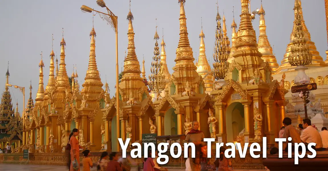
 Yangon (20 November, 2003)
Yangon is the biggest city as well as the former administrative capital of Myanmar. It is an ancient city but a relatively newcomer to Myanmar history. It never played a major role in Myanmar history, not until the British made it the capital. In fact, its history is a reflection of the history of the Shwedagon itself.
Map of Yangon
Sights in Yangon
- Botataung Pagoda (GPS: 16.76842, 96.17186)

- Chauk Htat Gyi Pagoda (GPS: 16.81172, 96.16374)

- Shwedagon (GPS: 16.79847, 96.14958)

- Sule Pagoda (GPS: 16.7744, 96.15875)

After Buddha had eaten the cakes, the brothers asked for gift. Buddha passed His hand over His head and, obtaining eight Hairs, gave them to the brothers. Buddha, perceiving that the three previous Buddhas had caused their possessions to be enshrined in a pagoda on Singuttara hill in the country of the two brothers, bade them to do likewise with the Sacred Hairs.
Yangon was founded by King Alaungpaya in 1755, when he captured the village of Dagon from the Mon people. He called the settlement Yangon, which means, "the end of the fighting."
The British created a grid system for the roads which outlasts their administration. Today, some of the handsome colonial buildings still stand today in the heart of Yangon.
Yangon Geography
Yangon is surrounded on three sides by water. The Yangon River (also called the Hlaing) flows from Bago Yoma (Pegu Hills) down Yangon's western and southern flanks. It empties into the Gulf of Mottama (Martaban) about 30 km from Yangon. To the east flows the Pazundaung Creek, a tributary of the Hlaing. To the north are the foothills of Bago Yoma. The Shwedagon is built here. The British also created a few artificial lakes that today in the centre of Yangon's residential district.History of Yangon
Formerly known as Muang Tranom, the town of Yangon was founded as early as the Ayutthaya era, during the reign of King Ramathibodi I (aka King U-thong) 800 years ago. It was a major navigation and sea-trade centre and a centre for Buddhist cultural arts. The name of the town was later changed to Panom and Khao Nom and lastly Yangon.During the reign of King Rama V, Yangon became a village under the jusdiction of Ta-saala District. In 1959 it was elevated to district level under the jurisdiction of Nakhon Sri Thammarat province.
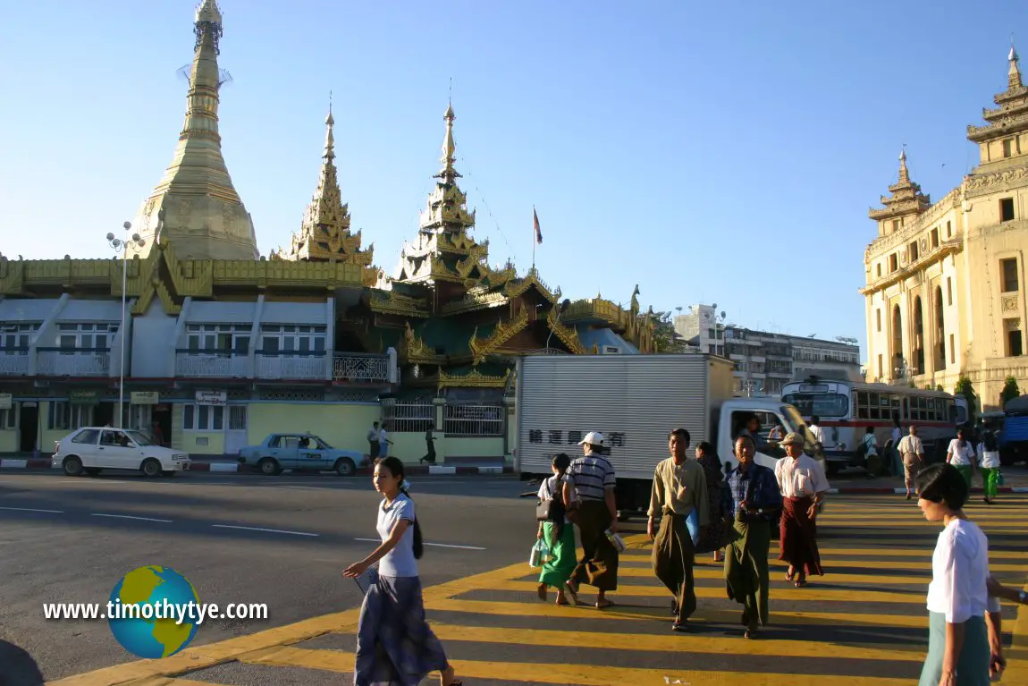 Street view of Yangon. (20 November, 2003)
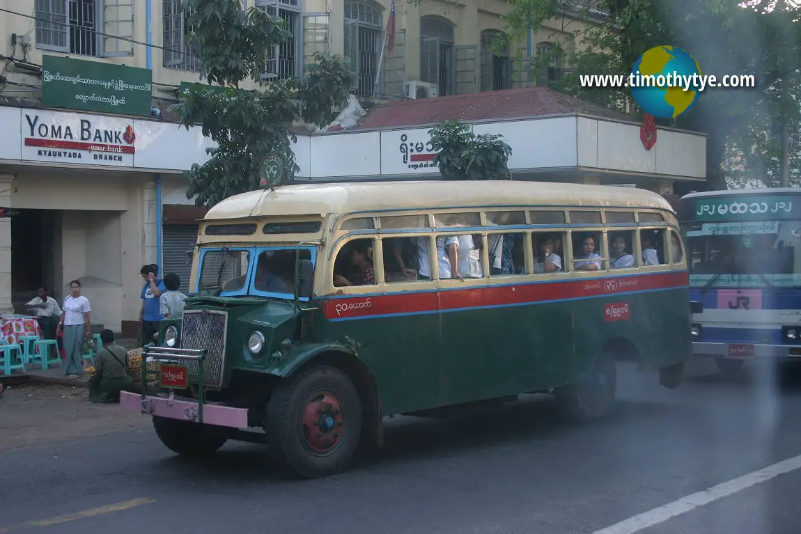 A bus on the street of Yangon. (20 November, 2003)
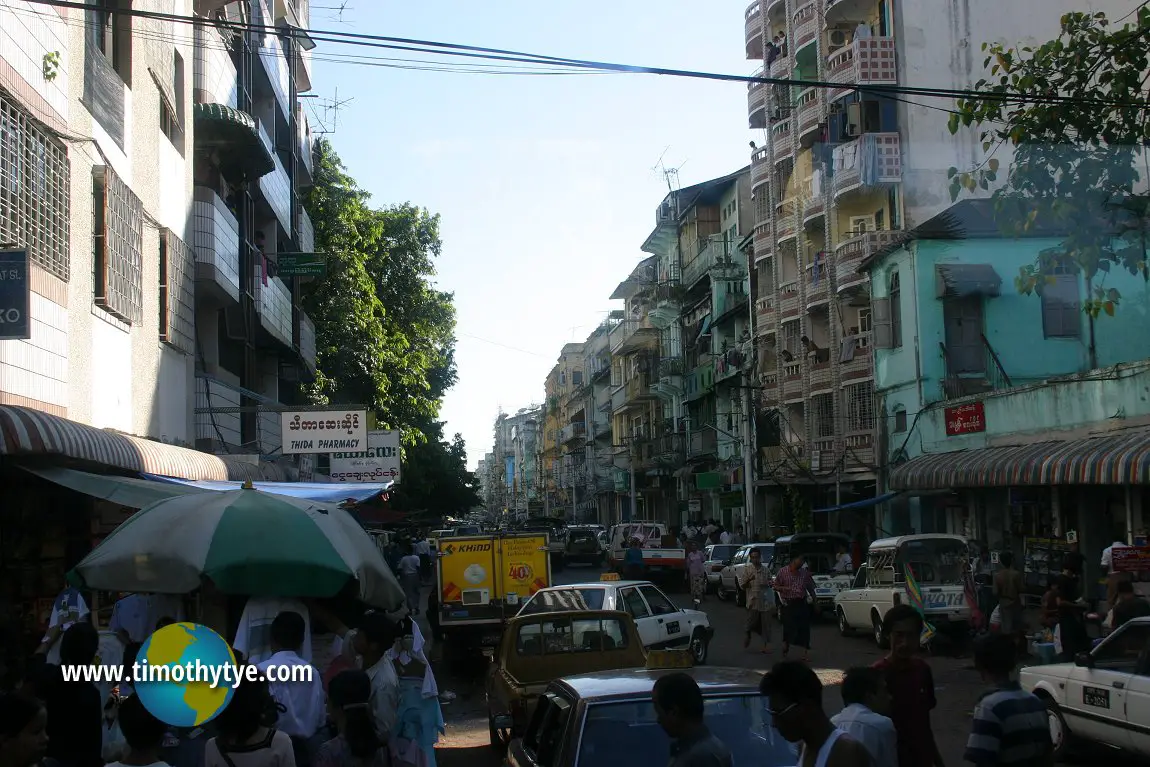 A street in downtown Yangon. (20 November, 2003)
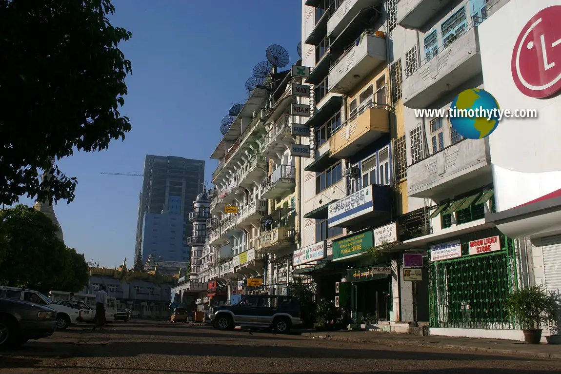 Buildings in Yangon near Sule Pagoda. (20 November, 2003)
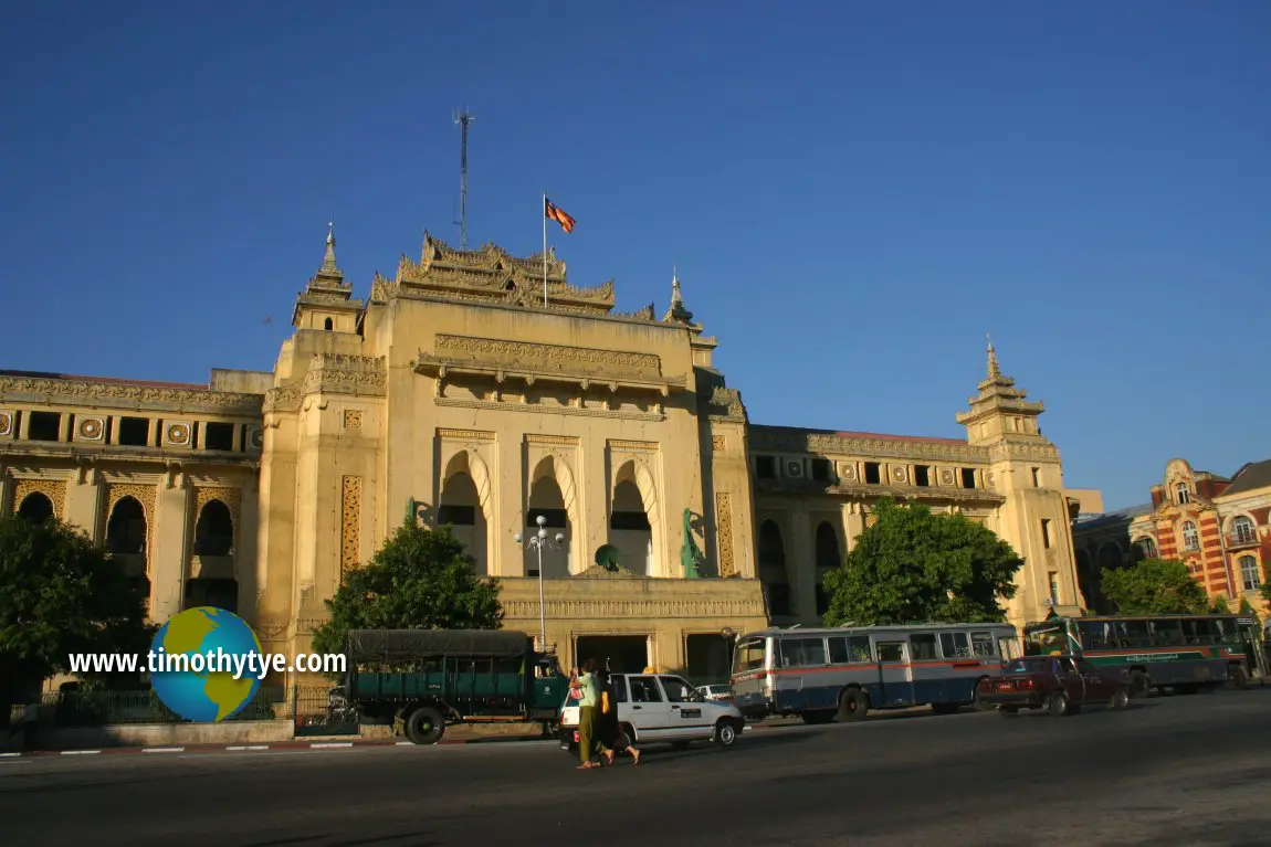 Yangon City Hall (20 November, 2003)
Capital of Myanmar
In November 2005, the ruling junta abruptly began to relocate the capital of Myanmar to Naypidaw, in Pyinmana, Mandalay Division, central Myanmar. The official name of the capital was announced on Armed Forces Day on 26 March 2006.Budget Travel to Yangon
Yangon International Airport (RGN) at Mingladon is about 30 minutes to the north of the city centre. The new terminal opened in November 2007. Taxi fare for a ride from airport to city is about US$6.00. Yangon is connected by air with Bangkok, Kuala Lumpur, Singapore, Taipei, Kolkata, among others. Airlines flying there include Thai Airways, Bangkok Air, Malaysia Airlines, Silk Air, Korean Airlines and Air India.Budget Travel within Yangon
If you are a free independent traveler, your best option for exploring Yangon would be to take the taxi. They are relatively inexpensive. If you are going to use the taxi for the entire day, it might be sensible to negotiate a daily rate (expect to pay around US$25 or more). Otherwise, an hourly rate of about 3000 kyat applies. Latest updates on Penang Travel Tips
 Map of Roads in Penang
Looking for information on Penang? Use this Map of Roads in Penang to zoom in on information about Penang, brought to you road by road.
Copyright © 2003-2025 Timothy Tye. All Rights Reserved.

 Go Back