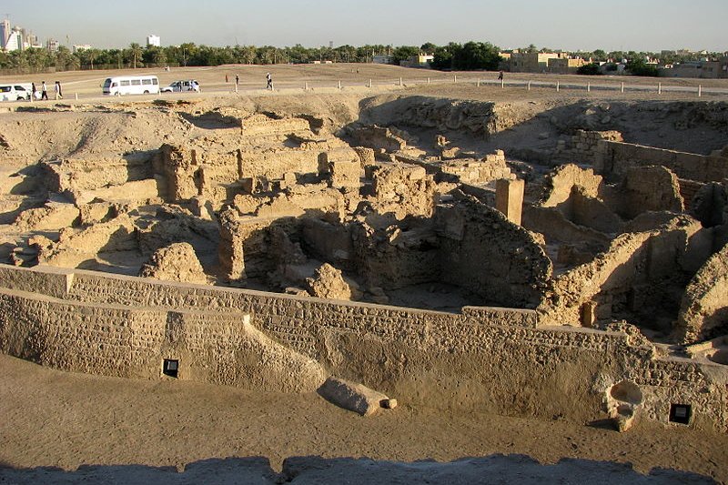
 Excavation at Qal'at al-Bahrain
Source: https://commons.wikimedia.org/wiki/File:Bahrain_Fort_7.jpg
Author: Peter

Author: Peter

The Qal'at al-Bahrain, or Bahrain Fort, is an ancient artificial mound in Bahrain. Now an archaeological site, it measures roughly 300 meters by 600 meters. Qal'at al-Bahrain was created due to successful layers of human settlement on the same spot going back to 2300 BC until the 16th century AD. This includes being the site of the capital of the ancient civilization called Dilmun, which existed during Mesopotamian times. The site got its name because a 16th century Portuguese fort, the Qal'at al-Burtughal, was built over it. The word "qal'at" means "fort. Bahrain was one of the Portuguese's early bases as they expanded towards the Far East.
Archaeologists have been digging here for the past fifty years. They have managed to unearth ruins of commercial structures and religious buildings, among others, testifying to the importance of Qal'at al-Bahrain as a strategic location through the past few millenia.
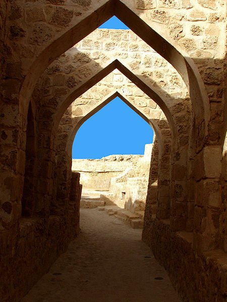 Inside Qal'at al-Bahrain
Source: https://commons.wikimedia.org/wiki/File:Bahrain_Fort_2.jpg
Author: Joel

Author: Joel

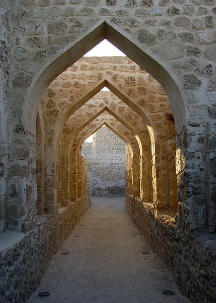 Ruins of the Portuguese Fort at Qal'at al-Bahrain
Source: https://commons.wikimedia.org/wiki/File:Bahrain_Fort_31.jpg
Author: Peter

Author: Peter

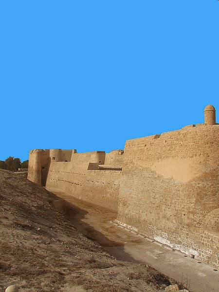 Qal'at al-Bahrain
Source: https://commons.wikimedia.org/wiki/File:Bahrain_Fort.jpg
Author: Joel

Author: Joel

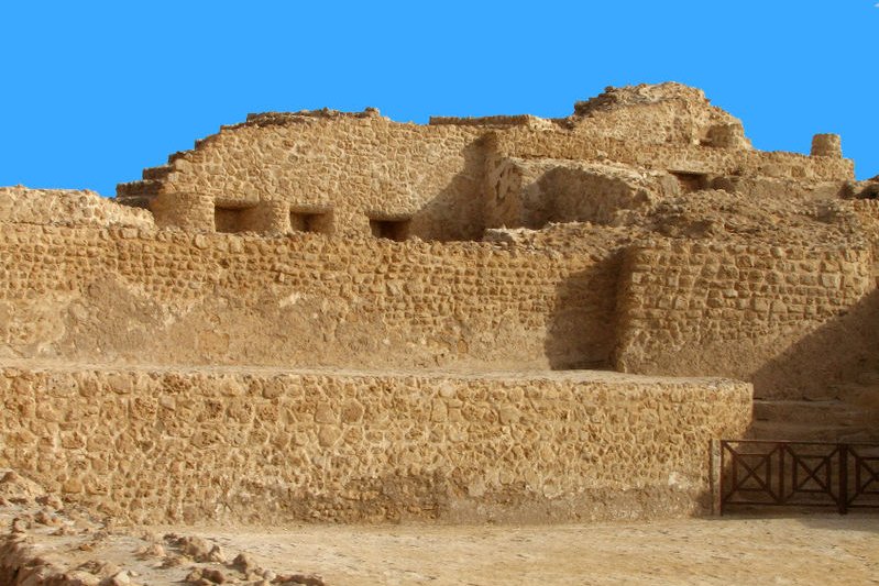 Qal'at al-Bahrain archaeological site
Source: https://commons.wikimedia.org/wiki/File:Bahrain_Fort_4.jpg
Author: Joel

Author: Joel

What to See in Qal'at al-Bahrain - Ancient Harbour and Capital of Dilmun
World Heritage Site Inscription Details
Location: N 26 13 59.016 E 50 31 19.992Inscription Year: 2005
Type of Site: Cultural
Inscription Criteria: II, III, IV
Visiting Qal'at al-Bahrain - Ancient Harbour and Capital of Dilmun
Your base for visiting this World Heritage Site is Bahrain. You can get your hotel there to help you make the arrangement, or select the appropriate tour package or day excursion.Getting there
Bahrain International Airport (BAH) is the main gateway to Bahrain. It is located in Muharraq, on the northeastern tip of the island. Latest updates on Penang Travel Tips
 Map of Roads in Penang
Looking for information on Penang? Use this Map of Roads in Penang to zoom in on information about Penang, brought to you road by road.
Copyright © 2003-2025 Timothy Tye. All Rights Reserved.

 Go Back