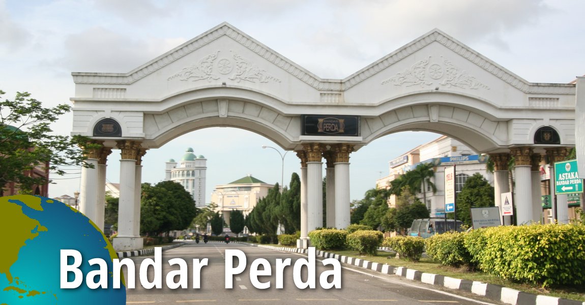
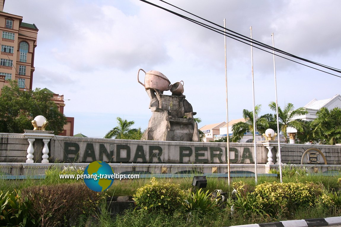
 Bandar Perda, Bukit Mertajam (20 October 2009)
Bandar Perda (GPS: 5.36576, 100.43519) is a township in Seberang Perai Tengah. When fully completed, it is to cover a 456 acre (186 hectare) plot of land bordered by Jalan Permatang Batu and Jalan Muthu Palaniappan to the south, Jalan Permatang Pauh to the west, Jalan Permatang Nibong to the north and Jalan Abdul Kadir to the east. The name Perda is an acronym for Penang Regional Development Authority.
The Bandar Perda project began in 1994, but up till today, only about 1/3 of the township had been realised. The idea is to create a township similar to Seberang Jaya that includes residential, industrial and commercial properties in one place. Within the prominent buildings in Bandar Perda includes now closed Perda City Mall. Rapid Penang Bus Nos. 701 pass through Jalan Permatang Batu at Bandar Perda.
 Map of Bandar Perda, Bukit Mertajam
 Landed Residential Properties in Bandar Perda
- BM City Suites (GPS: 5.36717, 100.43873)

High-rise residential properties in Bandar Perda
- BM City Suites (GPS: 5.36717, 100.43873)

- Desa Prominence (GPS: 5.3665, 100.42835)

- Kondominium Mutiara (GPS: 5.374740, 100.430603)

- Prominence Condominium (GPS: 5.35634, 100.46822)

 Sights in Bandar Perda
- Bandar Perda Bicycle Lane
- Ibu Pejabat Polis Seberang Perai Tengah (GPS: 5.37176, 100.44289)

- KPJ Penang Specialist Hospital (GPS: 5.368993, 100.434275)

- Lembaga Hasil Dalam Negeri (GPS: 5.367733, 100.434589)

- Masjid Daerah Seberang Perai Tengah (GPS: 5.36978, 100.43068)

- Pejabat Perhilitan Daerah Bukit Mertajam (GPS: 5.374687, 100.434101)

- Perda City Mall (GPS: 5.37003, 100.44054)

- Politeknik Seberang Perai (GPS: 5.374207, 100.422090)

- Seberang Perai Municipal Council Building (GPS: 5.37098, 100.43282)

- Sekolah Kebangsaan Bandar Baru Perda (GPS: 5.373479, 100.429361)

- Sekolah Menengah Kebangsaan Bandar Perda (GPS: 5.372958, 100.430964)

- Wisma TNB (GPS: 5.36591, 100.43451)

Roads in Bandar Perda
 Bandar Perda, Bukit Mertajam (20 October 2009)
Bandar Perda is  on the Map of Seberang Perai
More on Bukit Mertajam; List of Towns in Penang and Towns in Malaysia

Copyright © 2003-2025 Timothy Tye. All Rights Reserved.

 Go Back