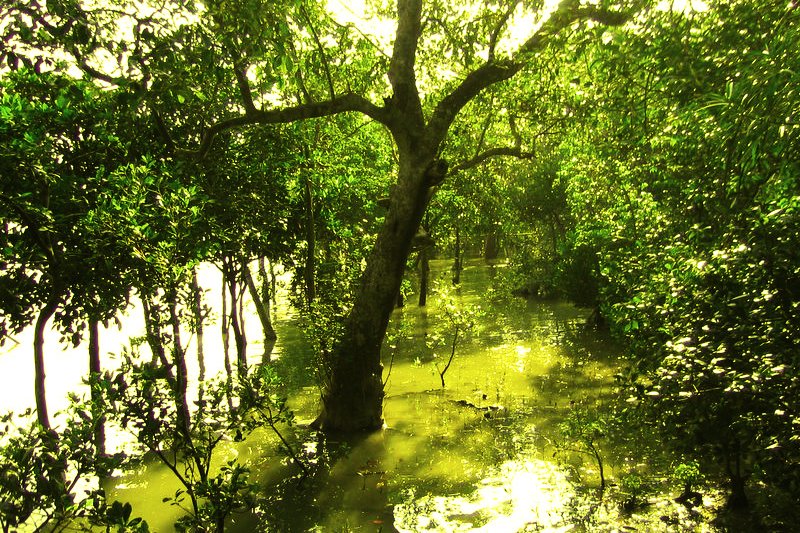
 The mangrove forest of the Sundarbans in Bangladesh
Source: https://commons.wikimedia.org/wiki/File:Sundarbans_02.jpg
Author: Monster eagle

Author: Monster eagle

The Sundarbans Mangrove Forest, covering an area of 140,000 hectares, is one of the largest mangrove forests in the world. It is located in Bangladesh, in the delta of three big rivers, the Ganges, Brahmaputra and Meghna, as they empty into the Bay of Bengal. The Sundarbans were inscribed as a World Heritage Site during the 21st session of the World Heritage Committee meeting in Naples, Italy, on 1-6 December, 1997.
lauded the Sundarbans for being an excellent example of ongoing ecological processes. It is also rich in fauna, counting some 260 different species of birds as well as many endangered mammals including the Bengal tiger, Indian python and estuarine crocodiles. The mangrove area is interlaced with a complex network of tidal waterways, punctuared with mudflats, islets and covered with the tenacious salt-tolerant mangrove trees.
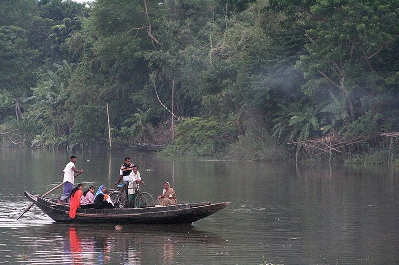
 A ferryboat carrying passengers across a river in the Sundarbans
Source: https://commons.wikimedia.org/wiki/File:Ferry_in_Sundarbans.jpg
Author: Frances Voon

Author: Frances Voon

World Heritage Site Inscription Details
Location: N 21 56 60 E 89 10 59.988Inscription Year: 1997
Type of Site: Natural
Inscription Criteria: IX, X
Etymology
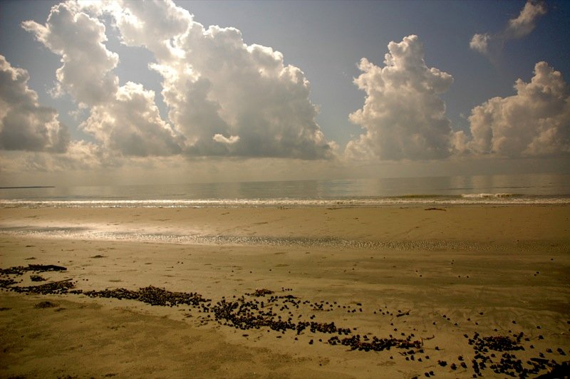
There are several theories how "Sundarban" got its name. It may have come from the Bengali language meaning "beautiful jungle". Alternatively, it may also be due to the high number of Sundari trees growing in the area. Thirdly, it may also be a corruption of Samudraban, meaning "sea forest". Coastal mudflats of the Sundarbans
Source: https://commons.wikimedia.org/wiki/File:Mudflat_and_clouds_in_Sundarbans.jpg
Author: bri vos

Author: bri vos

Location
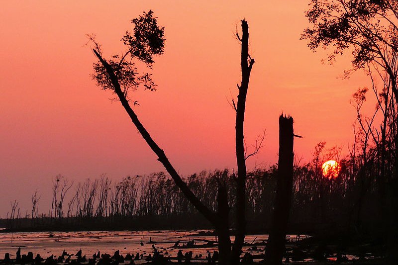
The Sundarbans are located along the coast of Bangladesh at the delta of the Ganges, Brahmaputra and Meghna rivers. The Sundarbans at sunset
Source: https://commons.wikimedia.org/wiki/File:Sundarbans_a_few_months_after_cyclone_sidr.jpg
Author: joiseyshowaa

Author: joiseyshowaa

Getting there
Arrange with a travel agent in Dhaka for safaris into the Sundarbans. Alternatively, you can go there as an independent traveller by first obtaining a permit to enter the Sundarbans National Park through the divisional forest office at Circuit House Road, Khulna. Hire a boat to take you into the park. You can get one from Mongla or Dhangmari. Latest updates on Penang Travel Tips
 Map of Roads in Penang
Looking for information on Penang? Use this Map of Roads in Penang to zoom in on information about Penang, brought to you road by road.
Copyright © 2003-2025 Timothy Tye. All Rights Reserved.

 Go Back