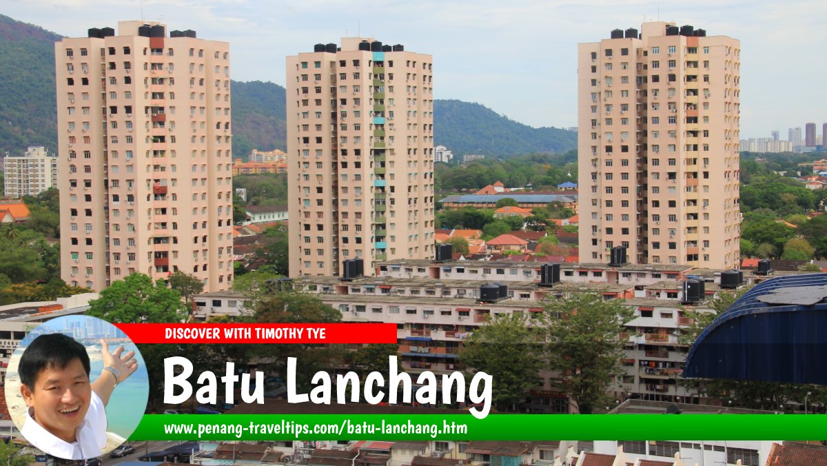
 Batu Lanchang (16 March 2014)
Batu Lanchang is the area to the west of George Town, Penang. Until the mid 1950's, it was plantation estate comprising coconut groves that stretched from Air Itam to Jelutong. The only road thorugh the estate was Green Lane, which true to its name, was a country path through the plantations. All this has disappeared with the development of Green Lane as a suburb of George Town, erasing the rural feel of Batu Lanchang. The emergence of Island Park and subsequently Island Glades have brought a higher profile to Green Lane, so much so that today, many have forgotten that the whole area was formerly Batu Lanchang. In today's context, Batu Lanchang refers to the neighbourhood between Green Lane and Jelutong.
Today the neighbourhood to Batu Lanchang is around Jalan Tan Sri Teh Ewe Lim, formerly Batu Lanchang Road. Batu Lanchang Lane, once part of the neighbourhood, has somehow been disowned, and is today regarded more as part of Green Lane in general. Within the Batu Lanchang neighbourhood are high rise apartments that were constructed in the 1990's and the 21st century. More are on the way.
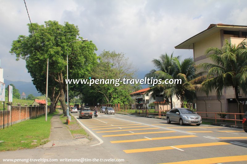
The area along Batu Lanchang Lane is occupied by schools and cemeteries. They include SK Batu Lanchang, Georgetown Secondary School, SM Vokasional Batu Lanchang, Sekolah Menengah Teknik Batu Lanchang, the Batu Lanchang Hokkien Cemetery and the Batu Lanchang Hindu Cemetery. At the periphery of Batu Lanchang Lane are new development such as BL Avenue, BL Garden, BL Business Centre and Boulevard Condominium.
Location of Batu Lanchang
Measured from the junction of Jalan Sir Ibrahim with Jalan Tan Sri Teh Ewe Lim (GPS: 5.392491, 100.307784), Batu Lanchang is 4.9 km to Komtar, 4.9 km to the Penang Bridge, 12.9 km to the Second Penang Bridge and 13.2 km to the Penang International Airport. Map of Batu Lanchang, Penang
High-Rise Residential Properties in Batu Lanchang
- BL Avenue Apartments (GPS: 5.39782, 100.29432)

- BL Garden Apartments (GPS: 5.39772, 100.29373)

- Boulevard Condominium (GPS: 5.39763, 100.2945)

- Central Garden Apartment (GPS: 5.38815, 100.30828)

- Central Park Condominium (GPS: 5.38829, 100.30815)

- Mewah Court Apartment (GPS: 5.39377, 100.30671)

- Shineville Garden (GPS: 5.3999, 100.29455)

- Shineville Park (GPS: 5.40051, 100.2941)

- Shineville Villas (GPS: 5.39938, 100.29527)

- Sri Carlyun Apartment (GPS: 5.39, 100.30759)

- Taman Medan Penaga (GPS: 5.39013, 100.30873)

- Taman Seri Damai (GPS: 5.38894, 100.30527)

 Landed Residential Properties in Batu Lanchang
- Shineville Villas (GPS: 5.39938, 100.29527)

What to eat at Batu Lanchang
- Big crispy Chicken Curry Puff at Batu Lanchang Market in Batu Lanchang, Penang, was recommended by Sam Lim on 30 September, 2019
 Coffee Shops and Restaurants in Batu Lanchang
 Businesses in Batu Lanchang
Commercial Development in Batu Lanchang
 Schools in Batu Lanchang
Cemeteries in Batu Lanchang
Public Transport in Batu Lanchang
Batu Lanchang is served by Rapid Penang Bus 206 and 302.Batu Lanchang is 5.1 km from Komtar, making it of moderate distance from the city centre. However the roads leading to the city are often congested.
Amenities in Batu Lanchang
The nearest schools are Sekolah Kebangsaan Jelutong, Sekolah Kebangsaan Jelutong Barat, Sekolah Rendah Jenis Kebangsaan (Cina) Jelutong and Sekolah Menengah Jelutong. The nearest market is the Batu Lanchang Market and the Jelutong Market. Lotus's Penang is the nearest hypermarket. The nearest petrol station from Batu Lanchang are Esso Green Lane and Caltex Jelutong. Lam Wah Ee Hospital is located in Batu Lanchang, at the junction of Jalan Tan Sri Teh Ewe Lim (Batu Lanchang Road) and Jalan Masjid Negeri. Batu Lanchang, Penang (21 September 2009)
 Batu Lanchang Lane, Penang (31 May 2012)
Batu Lanchang is  on the Map of Penang
List of Towns in Penang and Towns in Malaysia

Copyright © 2003-2025 Timothy Tye. All Rights Reserved.

 Go Back