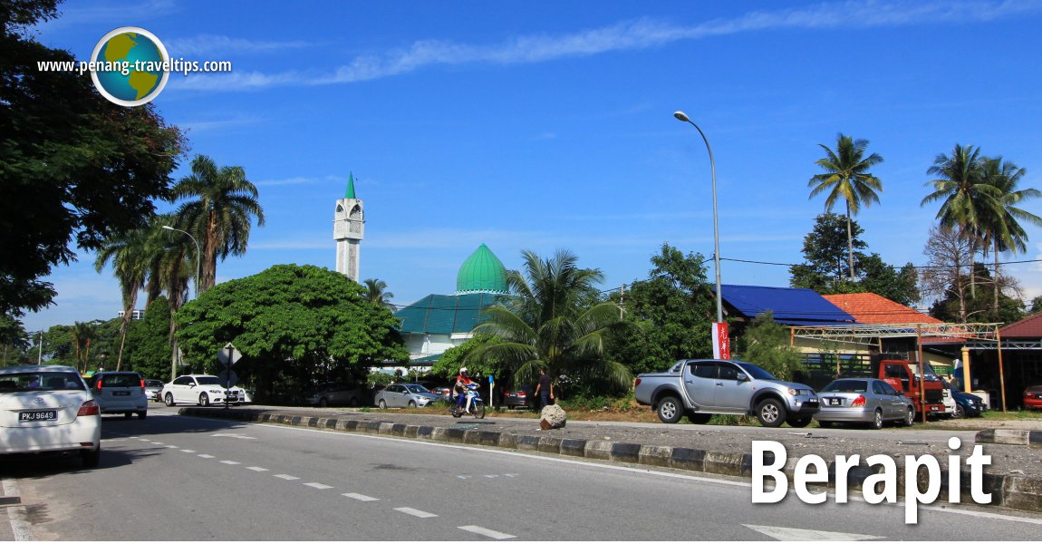
 Berapit, Seberang Perai (22 August 2015)
Berapit (GPS: 5.39774, 100.49416) is a village in Bukit Mertajam, Seberang Perai. It is the locality with Kubang Semang to the northwest, Mengkuang to the northeast and Bukit Mertajam town centre to the southwest. Much of Berapit is determined by its main road, Jalan Berapit. The area is the site of the Berapit Chinese Cemetery, one of the largest cemeteries in Penang. In recent years, the cemetery has undergone further expansion with the construction of a new multi-storey columbarium.
 Map of Berapit
 Sights in Berapit
- Berapit Chinese Cemetery (GPS: 5.38837, 100.48796)

- Dewan Badminton Berapit (GPS: 5.375496, 100.469265)
- Dhammavana Meditation Centre (GPS: 5.361, 100.47092)

- Institut Kemahiran Belia Negeri (GPS: 5.39472, 100.49388)

- Masjid Tengah (GPS: 5.37333, 100.4658)

Civic institutions in Berapit
- Institut Kemahiran Belia Negara (GPS: 5.39472, 100.49388)

 Schools in Berapit
- Sekolah Jenis Kebangsaan Jit Sin A & B (GPS: 5.375848, 100.468166)
- Sekolah Menengah Kebangsaan Berapit (GPS: 5.376975, 100.470193)
About Berapit
The village of Berapit is served by Jalan Berapit (State Route P131) which connects with Jalan Arumugam Pillai (P3) in the south and Jalan Kampung Mengkuang (P129) to the north.As with many of the road in the area, Jalan Berapit is a two-lane road with much of the land along it still undeveloped. One of the institutions located in Berapit is IKBN, or Institut Kemahiran Belia Negara. The Hock Teik Cheng Sin Temple is also involved in the construction of a huge six-storey columbarium on a plot of land in Berapit, as part of the Berapit Chinese Cemetery.
Berapit is  on the Map of Seberang Perai
More on Penang Mainland; List of Towns in Penang and Towns in Malaysia

Copyright © 2003-2025 Timothy Tye. All Rights Reserved.

 Go Back