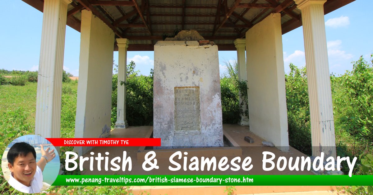
 British and Siamese Boundary Stone (22 July 2015)
The British-Siamese Boundary Stone (GPS: 5.55147, 100.52883) are stone markers put up by the Siamese after their conquest of Kedah in 1821. One of these stones is found at Ekor Kuching between Penang and Kedah. There is another at Bukit Panchor, at a height of 416 (it has yet to be rediscovered).
Ekor Kuching straddles Sungai Muda. The village proper is on the Kedah side of the river.
According to The Star1, the boundary stone was discovered by a mechanic Ai Chop An Chian in 1989. He had initially thought that it was to control the irrigation gates, but on close inspection, found that it has inscriptions in Thai.
How to go to the British-Siamese Boundary Stone
To reach the stone, you have to go through a series of country roads in northern Seberang Perai. See the map below that shows the location. I mark out the final portion for you, the rest is up to you which country road you wish to take. British-Siamese Boundary Stone (2 January 2023)
 British-Siamese Boundary Stone (22 July 2015)
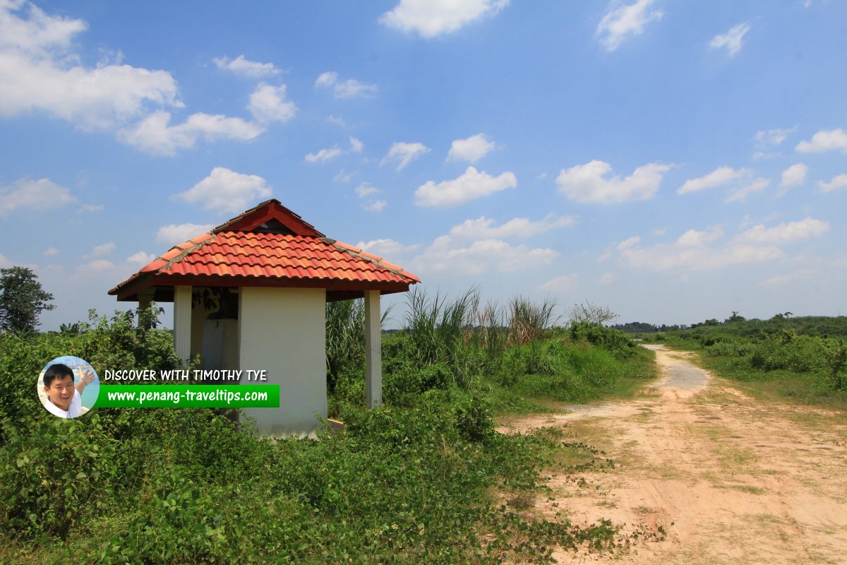 Shelter built to protect the British-Siamese Boundary Stone from the elements. The path on the right leads to the Muda River. (22 July 2015)
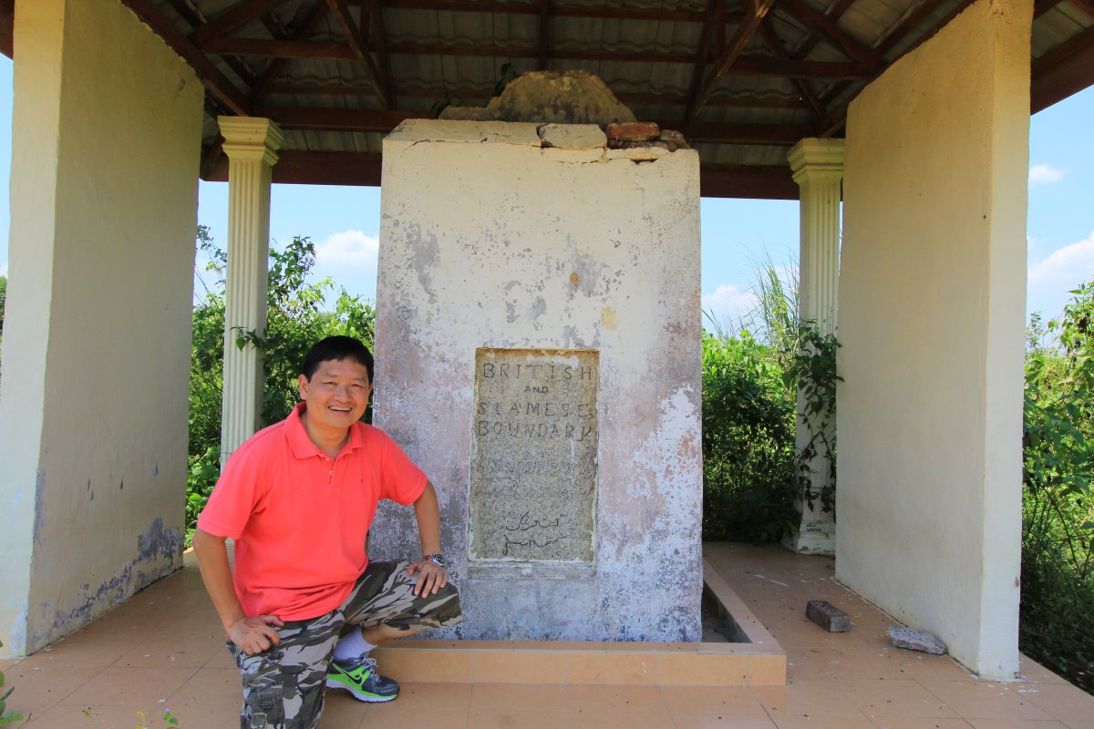 Timothy Tye at the British-Siamese Boundary Stone (22 July 2015)
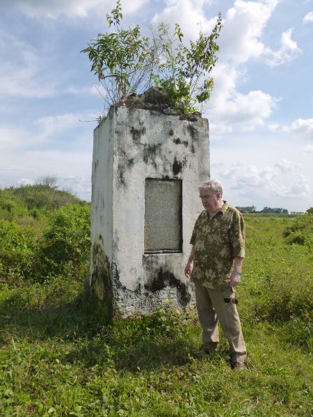 History enthusiast Michael Rawlinson with the boundary stone, when it was still unsheltered
Author: © Michael Rawlinson
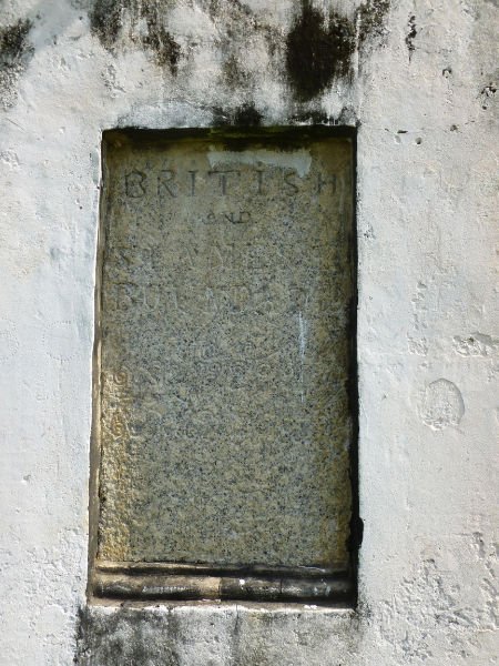 Inscription on the British-Siamese Boundary Stone, Ekor Kuching
Author: © Michael Rawlinson
 Entrance to the country path that leads to the boundary stone.
References
- The Star (31 March 2005): Boundary stone to be preserved
List of Monuments in Penang and Monuments in Malaysia

Copyright © 2003-2025 Timothy Tye. All Rights Reserved.

 Go Back