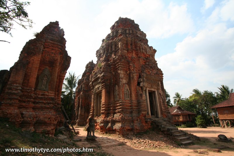
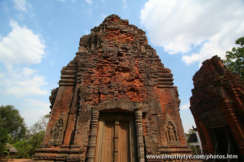
 Lolei Temple, Angkor (23 February, 2006)
Lolei (GPS: 13.35319, 103.97405) is a small, and not particularly impressive temple which you can visit to complete your tour of the Roluos Group, but allocate the least time to it. Lolei was built at the end of 9th Century by Yasovarman I, who reigned from 889 to 910 AD.This is the final temple constructed at Roluos before Yasovarman I moved the capital to the Angkor area.
360° View of Lolei on Google Maps Street View
Lolei is  in the centre of the Map of Angkor
The only other purpose of visiting Lolei (apart from completing the Roluos tour) are the exquisite carvings and inscriptions on the lintels. Like the East Mebon temple, Lolei was originally located on an island in the centre of a great baray, the Indratataka. The baray was built by Indravarman I, who constructed all but the northern dyke of the baray, and have positioned an island in the middle of the baray to carry the temple. The project was completed by his son Yasovarman I. Today the baray is dry, or converted into paddy fields.
The man-made island on which Lolei stands is today seen as a large terrace measuring 90m x 80m. It used to have a wall around it with four gopuras. It has brick towers similar to those at Preah Ko, but they are not symmetrically placed.
 Prasat at Lolei (23 February, 2006)
How to reach Lolei
Lolei is part of the Roluos Group of temples, which are all located on the east side of Siem Reap. As they are not as spectacular as the sights within Angkor proper, they receive fewer tourists. Visitors usually explore the three Roluos temples in this order: Preah Ko, Bakong then Lolei. If you are independently, get a tuk tuk driver who knows the way.From Siem Reap, take Route 6 for roughly 13km. 400m after the right turn (southwards) to Bakong, take the turning on your left to Lolei, which is 600m down the road. Is my explanation confusing? Ah, just get a tuk tuk driver who knows the way!
 Latest updates on Penang Travel Tips
 Map of Roads in Penang
Looking for information on Penang? Use this Map of Roads in Penang to zoom in on information about Penang, brought to you road by road.
Copyright © 2003-2025 Timothy Tye. All Rights Reserved.

 Go Back