 Neak Pean (26 February, 2006)
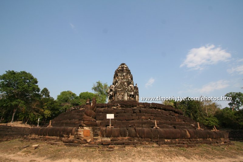
Neak Pean (GPS: 13.46317, 103.89478) is one of the most unique temples in Angkor with an appearance that is different from all the rest. It was built in the second half of 12th Century by King Jayavarman VII who reigned from AD 1181 to AD 1220. When Neak Pean was built, it was located on an island in the middle of a great man-made reservoir, the last baray to be constructed by a Khmer king in the Angkor area. The baray is no longer around, having dried up a long time ago and is today either scrubland or paddy fields. A central temple forms an island in the centre of a cross pattern made up of eight pools, and encircled by encoiled nagas.
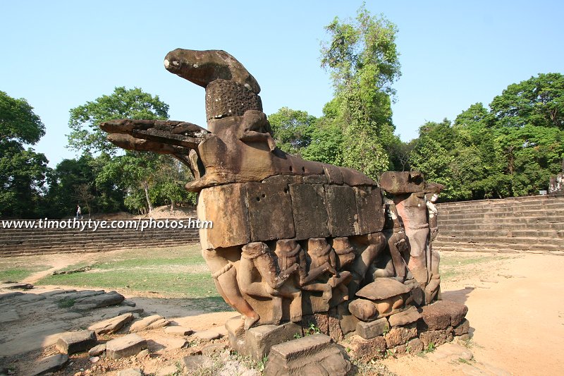
The name "Neak Pean" means entwining serpents. It refers to the statue of two nagas that encircle its base. Their heads entwined on the east side of the monument while their tails on the west side. I learn that they are supposed to represent the naga kings Nanda and Upananda.
360° View of Neak Pean on Google Maps Street View
Neak Pean is  in the centre of the Map of Angkor
 Neak Pean (26 February, 2006)
I photographed Neak Pean at the end of the day, as the sun is on one direction, and provided me a background of clear blue sky. Some travel books mention that Neak Pean is best seen during the wet season when the pools are filled. However, I beg to differ. Having visited it in both wet and dry season, I prefer the dry season, when the pools are empty of water, and I can walk all the way to the steps of the ruins. As such a time, you can see the waterspouts in the form of animal and human heads at the outside centre of the pools.
How to reach Neak Pean
Neak Pean is located about 2.5kmn east of Preah Khan and 2km west of Ta Som.It is also a short distance from Krol Ko, which is on the opposite side of the road.Neak Pean is a monument of moderate importance. Depending on the number of days you are visiting Angkor, you may want to include or skip it from your itinerary. If you are travelling independently, it is best to hire a tuk tuk. Most tuk tuk will know the way to Neak Pean, and you should also visit Preah Khan and Ta Som along the route.
 Latest updates on Penang Travel Tips
 Map of Roads in Penang
Looking for information on Penang? Use this Map of Roads in Penang to zoom in on information about Penang, brought to you road by road.
Copyright © 2003-2025 Timothy Tye. All Rights Reserved.

 Go Back