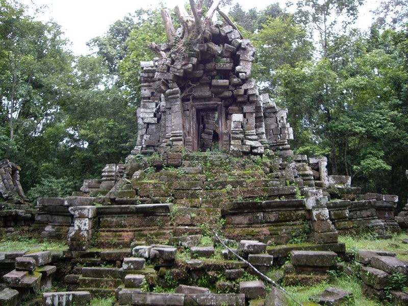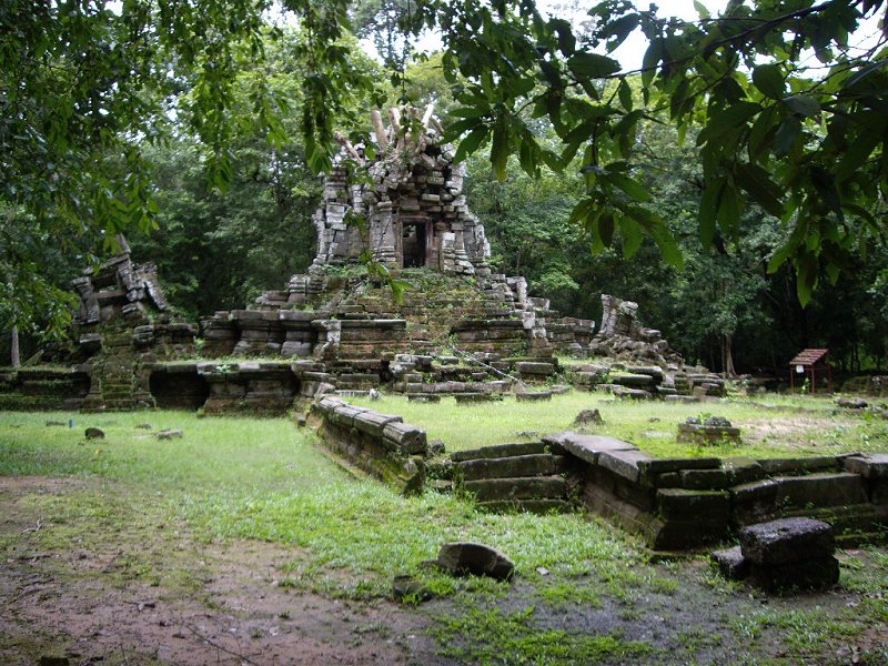
West Prasat Top, Angkor
Photo courtesy of Benny Yap, used with permission. All rights reserved.
The Western Prasat Top (GPS: 13.43921, 103.85167) also called Prasat Top West and the code name of Monument 486, is one of the more obscure Angkor ruins. It is located between the Bayon and the West Gopura of Angkor Thom. I am assisted with this write-up by my online friend Benny Yap, who explored West Prasat Top recently.
Originally a Hindu shrine built possibly in the 10th century, West Prasat Top was later adapted from the 13th century onwards as a Buddhist temple. It bears much similarity in appearance to the Mangalartha temple, also called the East Prasat Top. It is not a spectacular ruin and is rarely visited except by Angkor completists.
360° View of Prasat Top West on Google Maps Street View
Prasat Top West is  in the centre of the Map of Angkor

Front view of West Prasat Top
Photo courtesy of Benny Yap, used with permission. All rights reserved.
Getting to Prasat Top West
Take the dirt road from the Bayon towards the West Gopura. About 1.5km down this dirt track, you will sees an opening in the forest on the left. There are two tiny white pegs on either side of the opening. Following this jungle path for 100 metres takes you to Prasat Top West. Latest updates on Penang Travel Tips
 Map of Roads in Penang
Looking for information on Penang? Use this Map of Roads in Penang to zoom in on information about Penang, brought to you road by road.
Copyright © 2003-2025 Timothy Tye. All Rights Reserved.

 Go Back