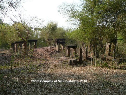
 Prasat Totoeng Thngai (1February, 2010)
© Nic Boulton
Prasat Totoeng Thngai (GPS: 13.31122, 103.95632) is one of the lesser ruins of Angkor. It is located on the southern part of the Roluos Group.
My online friend Nic Boulton explored Prasat Totoeng Thngai, and contributed direction and photos on this page. He described it as Angkor's response to Stonehenge.
The ruins of Prasat Totoeng Thngai, which is of limited significance, is today surrounded by clumps of bamboo. Unlike the main Angkor ruins, there aren't any visitors to this site, except for the occasional explorers.
Prasat Totoeng Thngai is  in the centre of the Map of Angkor
How to get to Prasat Totoeng Thngai
Start at the Community Learning Centre. Take the road heading West through the of Krok Sok. Continue West for approximately 700m. You will cross two small concrete bridges which are about 40 meters apart. Then you arrive at Junction
Turn left at
 down the narrow lane. There is a stream running parallel on the left of the lane, but you won't see it yet. After about 300m, turn off to the right at Junction
  . Go for about 100m along this path. When it curves round 90 degrees to the left, turn right at a small junction
  onto a rarely used path (there are dead leaves on it, see the photo of junction
  ). The path curves round to the left and delivers you the remaining 30m to Prasat Totoeng Thngai.
Direction Map to Prasat Totoeng Thngai
Prasat Totoeng ThngaiPhotos of Prasat Totoeng Thngai
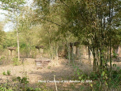 Prasat Totoeng Thngai (1February, 2010)
© Nic Boulton
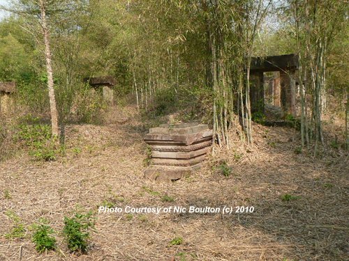 Prasat Totoeng Thngai (1February, 2010)
© Nic Boulton
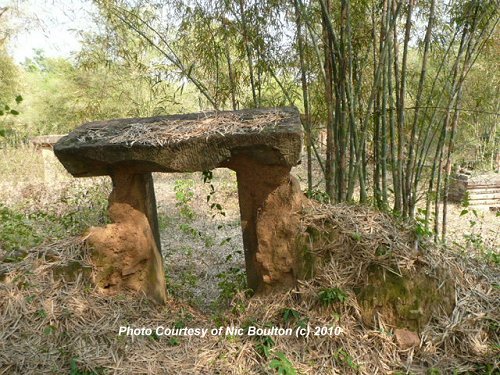 Prasat Totoeng Thngai (1February, 2010)
© Nic Boulton
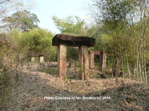 Prasat Totoeng Thngai (1February, 2010)
© Nic Boulton
Directional Photos to Prasat Totoeng Thngai
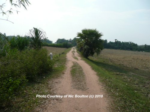 Path after leaving the village (1February, 2010)
© Nic Boulton
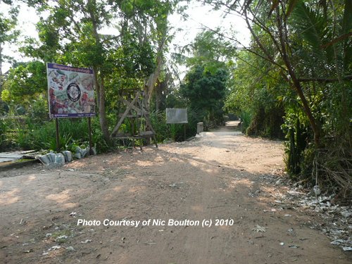 Heading towards
  which is another 200 meters down the road. (1February, 2010)
© Nic Boulton
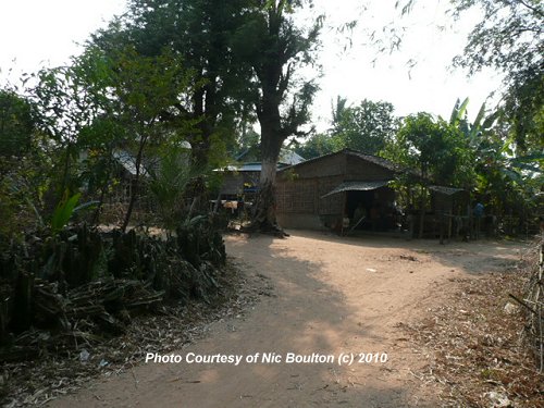 Junction
  (1February, 2010)
© Nic Boulton
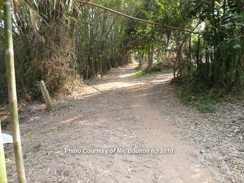 Junction
  (1February, 2010)
© Nic Boulton
 Junction
  (1February, 2010)
© Nic Boulton.
 Latest updates on Penang Travel Tips
 Map of Roads in Penang
Looking for information on Penang? Use this Map of Roads in Penang to zoom in on information about Penang, brought to you road by road.
Copyright © 2003-2025 Timothy Tye. All Rights Reserved.

 Go Back