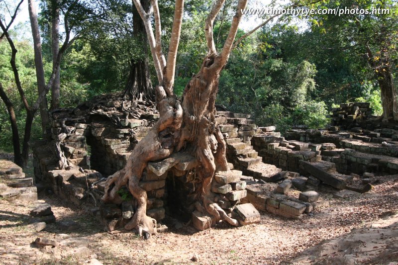
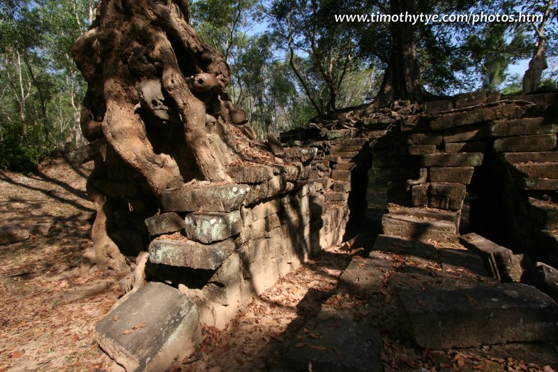
 Spean Thma (25 February, 2006)
Spean Thma (GPS: 13.44603, 103.87934) is an ancient bridge that crosses the Siem Reap River. It is located on the road between the Victory Gate and Ta Keo. When you saw Spean Thma, the first thing you noticed was that it does not cross the river. Well, it did, during ancient times. But since then, the river has changed its course while the bridge stayed where it was.
The name Spean Thma means "stone bridge" in modern Khmer. Examination of the construction of Spean Thma provided a good idea to modern researchers as to how the ancient Khmers built bridges. Spean Thma was constructed with narrow corbelled arches. The bridge had to be twide as wide as the river so that there is sufficient passage for the water to flow through.
360° View of Spean Thma on Google Maps Street View
Spean Thma is  in the centre of the Map of Angkor
 Spean Thma (25 February, 2006)
Since the construction of Spean Thma, the course of the Siem Reap has changed, and it now flows around the old stone bridge. Compared with the other monuments in Angkor, Spean Thma is relatively recent, having been constructed only in the 16th century, after the golden area of Angkor. Observation of the stones reveals that stones from Angkor temples were taken to be used in its construction.
How to reach Spean Thma
Spean Thma is 700 meters east of Angkor Thom's Victory Gate and 200 meters from Thommanon and Chau Say Tevoda. From the opposite direction, it is 300 meters northwest of Ta Keo. Spean Thma is not a significant Angkor site, and is unlikely to be featured in the itinerary of packaged tours. You most likely have to explore it on your own. It is not really worth your time unless you are a serious Angkor enthusiast. Latest updates on Penang Travel Tips
 Map of Roads in Penang
Looking for information on Penang? Use this Map of Roads in Penang to zoom in on information about Penang, brought to you road by road.
Copyright © 2003-2025 Timothy Tye. All Rights Reserved.

 Go Back