 Svay Pream (1February, 2010)
© Nic Boulton
Svay Pream (GPS: 13.31724, 103.96278) are rather obscure ruins on the southern part of the Roluos Group. Nic Boulton, my online friend who explored it, dismissed Svay Pream as disappointing. It was nothing more than an overgrown mound surrounded by what appears to once be a moat.
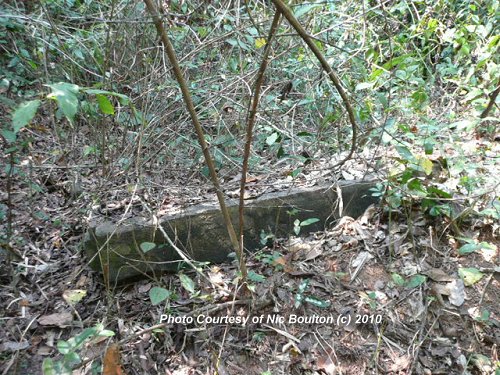
The vegetation was pretty dense, and all that Nic could uncover were a couple of lintels and a few odd bricks. He remarked that the design was similar to those of Preah Ko.
Svay Pream is  in the centre of the Map of Angkor
How to get to Svay Pream
Start at the Kok Srok Community Learning Centre. Let's call the junction here Looking North from
  , you see on the left side of the road an open field for about 150m followed by a densely wooded area, which continues on North for a couple of hundred meters.Svey Pream is in this wooded area, about 200m West of the road.
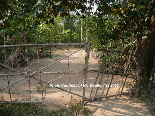
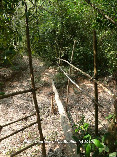
Apparently there are a few narrow paths that lead to it, but Nic couldn't find anything hopeful-looking, so eventually, with the assistance of a helpful local chap he crossed through somebody's garden to reach the site.You can see in the photo below the guy's front gate. From there, head west for about 200m. You will have to traverse the single log bridge pictured.
Location map of Svay Pream
Svay PreamPhotos of Svay Pream
 Svay Pream (1February, 2010)
© Nic Boulton
 A few bricks of Svay Pream (1February, 2010)
© Nic Boulton
Directional Photos to Svay Pream
 Gate through someone's property, on the way to Svay Pream (1February, 2010)
© Nic Boulton
 Log bridge, on the way to Svay Pream (1February, 2010)
© Nic Boulton.
 Latest updates on Penang Travel Tips
 Map of Roads in Penang
Looking for information on Penang? Use this Map of Roads in Penang to zoom in on information about Penang, brought to you road by road.
Copyright © 2003-2025 Timothy Tye. All Rights Reserved.

 Go Back