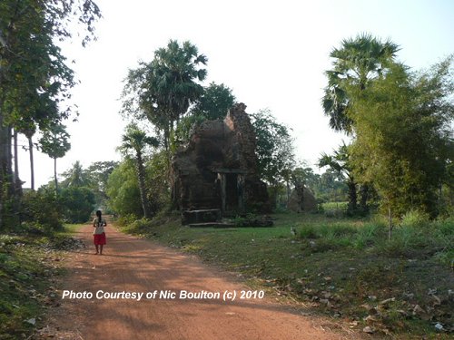
 Unidentified Angkor Ruin (1February, 2010)
© Nic Boulton
Trapeang Kaek (GPS: 13.336262, 103.956481) is an Angkor temple located to the west of Roluos Group. My friend Nic Boulton came across it beside the road side. For a number of years, we were not able to identify it, as his attempts to ask the locals yielded a name that sounded like "Kirchamoor". Nevertheless, with improvement in geolocation, I was finally able to identify the ruins as Trapeang Kaek.
Trapaeng Keak is a lone prasat located on the north side of the road, about one kilometer to the west of Bakong. The name trapaeng, I learn, means pond or small lake, though Trapaeng Kaek is not a lake but a prasat, or temple tower. Unfortunately I do not know much about Trapaeng Kaek, other than its name as appearing on Google Maps. I do not know how old it is or who built it.
360° View of Trapaeng Kaek on Google Maps Street View
Trapaeng Kaek is  in the centre of the Map of Angkor
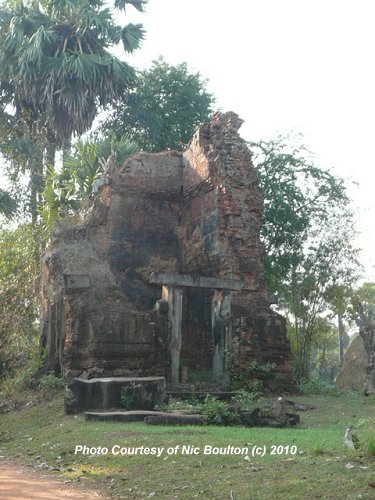 Unidentified Angkor Ruin (1February, 2010)
© Nic Boulton
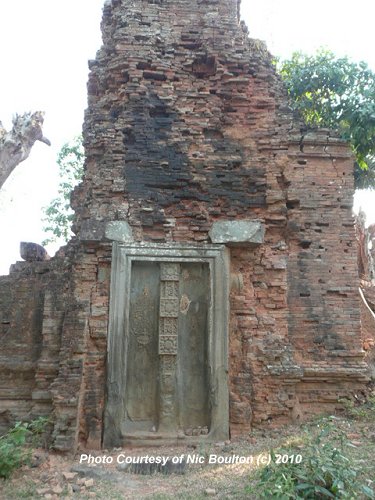 False door on the unidentified Angkor Ruin (1February, 2010)
© Nic Boulton
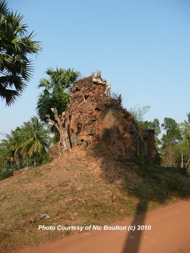 Unidentified Angkor Ruin (1February, 2010)
© Nic Boulton
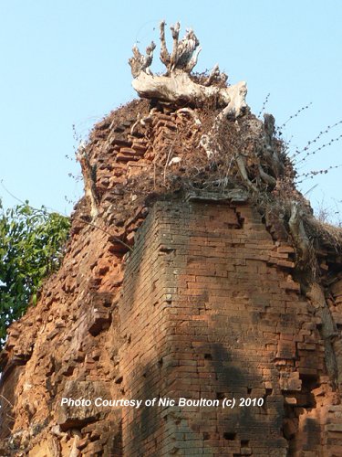 Unidentified Angkor Ruin (1February, 2010)
© Nic Boulton
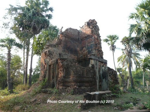 Unidentified Angkor Ruin (1February, 2010)
© Nic Boulton.
 Latest updates on Penang Travel Tips
 Map of Roads in Penang
Looking for information on Penang? Use this Map of Roads in Penang to zoom in on information about Penang, brought to you road by road.
Copyright © 2003-2025 Timothy Tye. All Rights Reserved.

 Go Back