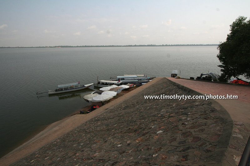
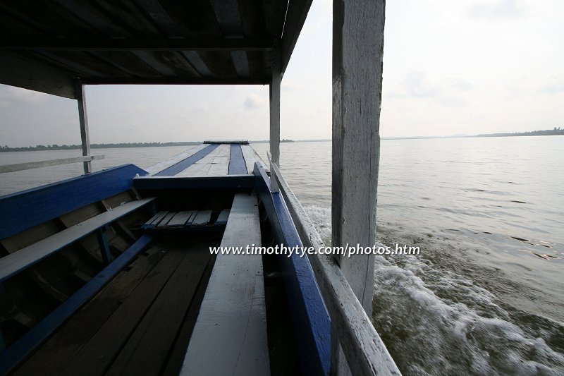
 West Baray (27 February, 2006)
West Baray (GPS: 13.43386, 103.77659) is the largest manmade reservoir of the ancient Khmers. I cannot begin to give you an idea of its size. When I took a boat on it, it felt like travelling in a lake. I had to keep reminding myself that this lake was man made a thousand years ago. The West Baray was built in the 11th Century, with King Suryavarman I who reigned from AD 1001 to AD 1050) starting the project, and completed by King Udayadityavarman II, who reigned AD 1050 to AD 1066.
360° View of West Baray on Google Maps Street View
West Baray is  in the centre of the Map of Angkor
Just consider the dimensions of West Baray: 8 kilometres long and 2.1 kilometres wide1. It originally covered an area of 1760 hectares and had an average depth of 7 meters, holding 123 million cubic metres of water2. Today only the western two thirds are covered with water, and it reaches a depth of 4-5 meters. The rest of it has been turned into paddy fields.
West Baray is the only baray left that still has water in it (apart from Srah Srang, which is too "small" to be considered a baray). I had the good fortune of West Baray by boat. The view was simply superb.
 West Baray (27 February, 2006)
The West Baray used to be filled only by rain water. Nowadays, with the construction of a barrage on the Stung Siem Reap not far from the temple of Ta Nei, it is replenished by a system of channels which make use of the north and part of the west moats of Angkor Thom.
At the centre of West Baray is the small temple of West Mebon. It was built in the same style as the Baphuon.
West Baray is believed to have been completed around the 11th century. Its eastern dike corresponds with the western limit of Yasodharapura, the first Angkor city centred on Phnom Bakheng. It is similar to the East Baray which is now dry and started towards the end of the 9th century, during the reign of Yasovarman.
Traces of ancient pathways and the remains of buildings found in the baray suggests that the area must have been inhabited before the baray was built. Perhaps the most visible sign of this is the ruins of Ak Yum, which was built earlier than the West Baray.
How to reach West Baray
West Baray is not a major sight in Angkor, and there is likelihood that it will not be included in most packaged tours. To visit the West Baray on your own, leave Siem Reap by Route 6 (the main road to the airport) in the direction of Sisophon towards the north-west. After 12 km, turn right on the road leading north. Travel for another 500 metres to arrive at the south-west dyke of the West Baray.References
- Dawn Rooney, Angkor (Odyssey Publications Ltd, © 2003), page 87
- Michael Freeman & Claude Jacques, Ancient Angkor (River Books © 2003), page 188
 Latest updates on Penang Travel Tips
 Map of Roads in Penang
Looking for information on Penang? Use this Map of Roads in Penang to zoom in on information about Penang, brought to you road by road.
Copyright © 2003-2025 Timothy Tye. All Rights Reserved.

 Go Back