 The Bund, Shanghai
Source: http://commons.wikimedia.org/wiki/File:A_picture_from_China_every_day_101.jpg
Author: Carsten Ullrich

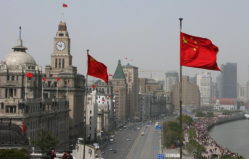
The Bund is a famous promenade in Shanghai, China. It stretches for about one mile on a bend of the Huangpu River, and is the most famous icon of Shanghai. To be exact, it starts from Yan'an Road to the south, and ends at Waibaidu Bridge to the north.
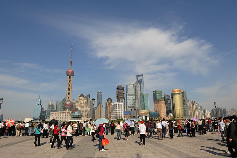
The Bund is the location of the former Shanghai International Settlement, a precinct created by the British and American concessions in Shanghai. It is on the western bank of the Huangpu River, facing the newly developed Pudong district.
The Bund is lined with buildings erected in the early part of the 20th century. They are in various architectural styles including Romanesque, Gothic, Renaissance, Baroque, Neo-Classical, Beaux-Arts and Art Deco. Shanghai has once of the richest representation of Art Deco buildings, and a particular Art Deco finishing has even earned the name Shanghai plaster.
 The Bund, Shanghai, looking towards Pudong New Area
Source: http://commons.wikimedia.org/wiki/File:The_bund_shanghai.jpg
Author: Pyzhou

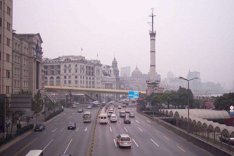
At time of writing, the roadway along the Bund is being reconfigured. The present 8-lane road will make way for a double-deck road with four lanes at each level. The space created will then be used to beautify the Bund to its former appearance, with landscaping and parkland.
How to reach the Bund
Take Line 2 of the Shanghai Metro to the Nanking East Road subway station. Walk east along Nanking East Road and you will arrive at the Bund. The Bund, Shanghai
Source: http://commons.wikimedia.org/wiki/File:ShanghaiBund.jpg
Author: Justin Talbot-Jones

 Latest updates on Penang Travel Tips
 Map of Roads in Penang
Looking for information on Penang? Use this Map of Roads in Penang to zoom in on information about Penang, brought to you road by road.About this website

Dear visitor, thank you so much for reading this page. My name is Timothy Tye and my hobby is to find out about places, write about them and share the information with you on this website. I have been writing this site since 5 January 2003. Originally (from 2003 until 2009, the site was called AsiaExplorers. I changed the name to Penang Travel Tips in 2009, even though I describe more than just Penang but everywhere I go (I often need to tell people that "Penang Travel Tips" is not just information about Penang, but information written in Penang), especially places in Malaysia and Singapore, and in all the years since 2003, I have described over 20,000 places.
While I try my best to provide you information as accurate as I can get it to be, I do apologize for any errors and for outdated information which I am unaware. Nevertheless, I hope that what I have described here will be useful to you.
To get to know me better, do follow me on Facebook!
Copyright © 2003-2025 Timothy Tye. All Rights Reserved.

 Go Back