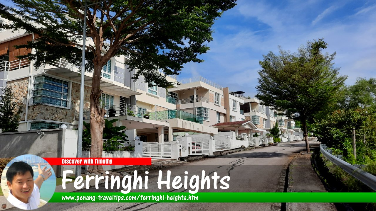
 Ferringhi Heights (10 November 2022)
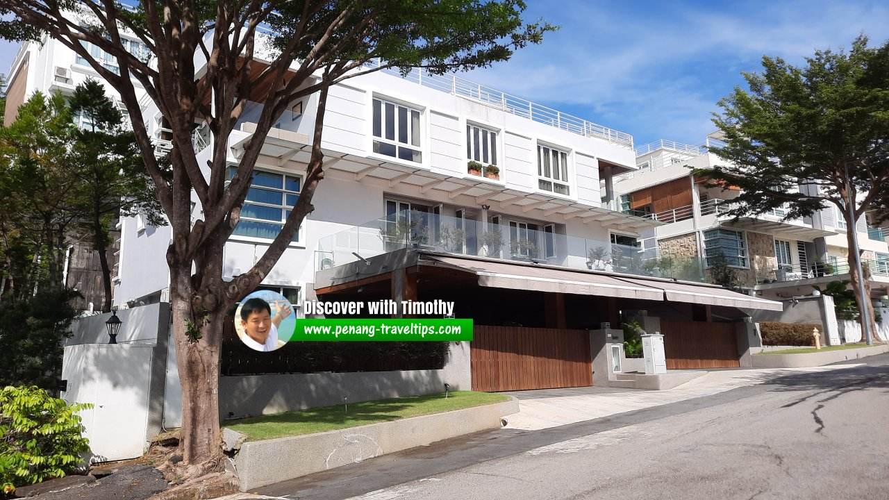
Ferringhi Heights (GPS: 5.47186, 100.27666) is a gated community in Batu Ferringgi, Penang. There are three-storey detached and semi-detached landed properties here. The semi-detached units have land area of around 3,400 sqft and built up area of 3,795 sqft. This development is on freehold land.
Location of Ferringhi Heights
Ferringhi Heights is 11.2 km to Komtar, 17.9 km to the Penang Bridge, 25.9 km to the Second Penang Bridge and 25.7 km to the Penang International Airport.Amenities at Ferringhi Heights
Market: Tanjung Bungah Market (GPS: 5.46338, 100.28481; 1.7 km)Supermarket/Hypermarket: Lotus's Tanjung Pinang (GPS: 5.4588, 100.30867; 4.5 km)
Petrol station: Petron Jalan Sungai Kelian (GPS: 5.46497, 100.29134; 2.3km)
Chinese primary school: SJKC Poay Wah (GPS: 5.46275, 100.28199; 1.9 km)
International School: Dalat International School (GPS: 5.46661, 100.28982; 2.0 km)
Hospital: Penang Adventist Hospital (GPS: 5.43282, 100.30526; 7.8 km)
Public transport at Ferringhi Heights
The nearest bus stop along Jalan Batu Ferringhi is served by bus 101 and 102.Traffic situation at Ferringhi Heights
Traffic along Jalan Batu Ferringhi is often heavy as the road is narrow.Roads in Ferringhi Heights
- Cangkat Batu Ferringgi
- Cangkat Batu Ferringgi 1
 Ferringhi Heights (10 November 2022)
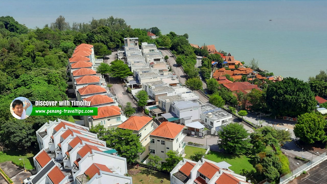
 Ferringhi Heights, as seen from Mar Vista. (10 November 2022)
 Ferringhi Heights, Batu Ferringhi, Penang (7 December 2014)
Ferringhi Heights is  on the Map of Jalan Batu Ferringhi, Penang
Ferringhi Heights is  on the Map of Batu Ferringgi
List of Condominiums in Penang and Condominiums in Malaysia

Copyright © 2003-2025 Timothy Tye. All Rights Reserved.

 Go Back