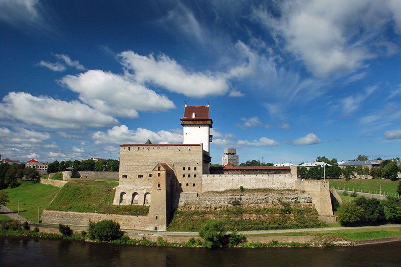
 Hermann Castle, Narva
Source: https://en.wikipedia.org/wiki/File:Narva_castle_2008.JPG
Author: Simm

Narva, the third largest city in Estonia, is located on the northeastern tip of the country. It covers 84.54 sq km (32.63 sq mi) and has a population of 66,000 people (2011 estimate). It is on the western bank of the Narva River which separates Estonia from Russia, right across from the Russian city of Ivangorod in Leningrad Oblast. Narva is 130 km to the southwest of Saint Petersburg.
The warmest month in Narva is July, when the high temperature touches 21°C. Coldest months are January and February, when the lows dip to -11°C. August receives the most rain, at 85 mm.
Human habitation of Narva goes back to the 5th millennium BC. The earliest mention of Narva appeared in 1172. The choice location beside the Narva River led to the construction of Narva Castle, also called Hermann Castle.
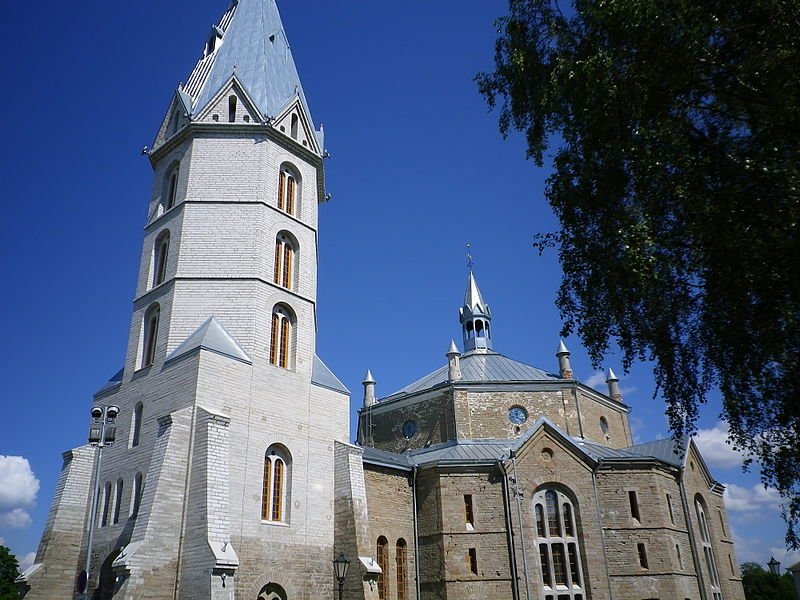
 Narva Alexander Megachurch
Source: https://commons.wikimedia.org/wiki/File:Narva_Aleksandri_Suurkirik_2011.jpg
Author: Anvelt

Narva was conquered by Russia in 1558. It then fell to Swedish rule in 1581, and remained so until 1704, when it was recaptured by Russia. While under Russian rule, Narva began to develop as an industrial town, particularly from the mid-19th century. It became part of Estonia following the First World War.
Due to its proximity to Russia, Narva has a predominantly Russian-speaking population which was not particularly happy that the town became part of Estonia.
Visiting Narva
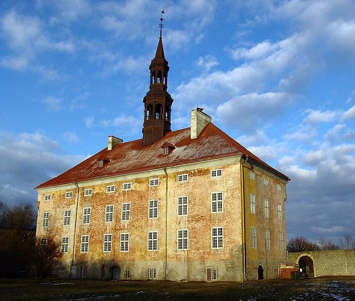
There are train and bus services to Narva from Tallinn. Narva Town Hall, back view
Source: https://commons.wikimedia.org/wiki/File:Narva_Town_Hall_Back_view.jpg
Author: Narva69

Places of Interest in Narva
- Hermann Castle
The 15th-century castle that dominates the town of Narva. - Narva Alexander Megachurch
Church dating to 1881 with a rebuilt bell tower following World War II bombing. - Narva Town Hall
Town hall built in the Baroque style in 1668.
 Latest updates on Penang Travel Tips
 Map of Roads in Penang
Looking for information on Penang? Use this Map of Roads in Penang to zoom in on information about Penang, brought to you road by road.
Copyright © 2003-2025 Timothy Tye. All Rights Reserved.

 Go Back