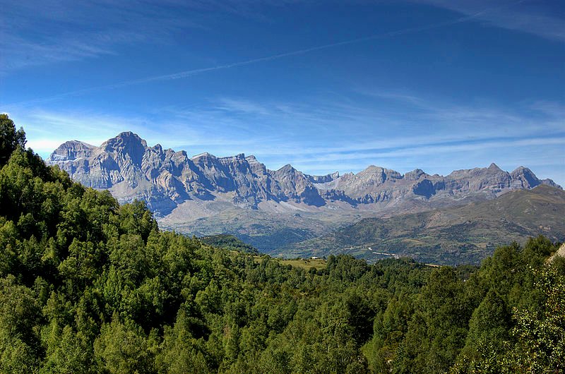
 Landscape of Aragón, Spain
Source: https://commons.wikimedia.org/wiki/File:Sierra_d%27a_Partaqua.jpg
Author: Will

Aragon is one of the autonomous communities of Spain. It covers 47,719 sq km (18,424 sq mi) and is located in northeastern Spain, bordered by Catalonia to the east, Valencia to the southeast, Castilla La Mancha to the south, Castilla y León to the west, a small strip of border with La Rioja also to the west, and Navarre to the northwest.
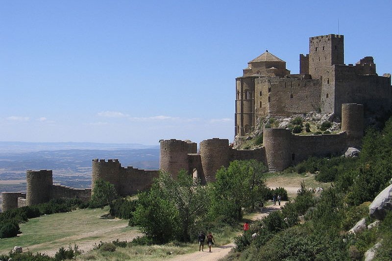
 Castillo de Loarre, Aragón
Source: https://commons.wikimedia.org/wiki/File:Castiello_de_Lobarre_2.jpg
Author: Antonio

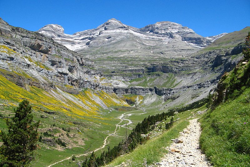
The area of modern-day Aragón corresponds to the medieval Kingdom of Aragón which existed from 1035 to 1707. Its capital is the city of Zaragoza. The region is divided into three provinces namely Huesca, Zaragoza and Teruel. Aragón has a population of 1.3 million people, with half of that living in Zaragoza. A sparsely populated region, Aragón is mountainous, with deep valleys and canyons between snow-capped peaks.
 Ordesa y Monte Perdido National Park, Huesca Province, Aragón
Source: https://commons.wikimedia.org/wiki/File:Cirque_de_Soaso_et_massif_du_Mont-Perdu.jpg
Author: Patrick Rouzet

Visiting Aragón
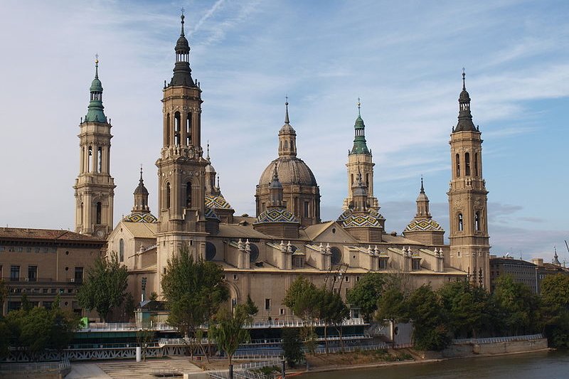
Fly to Zaragoza Airport (ZAZ), served by Ryanair from Alicante, Brussels-Charleroi, Milan Orio al Serio and London-Stansted. Basílica de Nuestra Señora del Pilar in Zaragoza, Spain
Source: https://commons.wikimedia.org/wiki/File:Vista_de_la_bas%C3%ADlica_de_Nuestra_Se%C3%B1ora_del_Pilar,_en_Zaragoza.jpg
Author: Leronich

Main Cities in Aragón
Map of the Towns and Cities of Aragón
Sights in Aragón
- Albarracin
- Alcañiz
- Calatayud
- Caspe
- Daroca
- Mallos de Riglos
- Mora de Rubielos
- Ordesa y Monte Perdido National Park
- Sos del Rey Catolico
- Valderrobres
 Latest updates on Penang Travel Tips

Copyright © 2003-2025 Timothy Tye. All Rights Reserved.

 Go Back