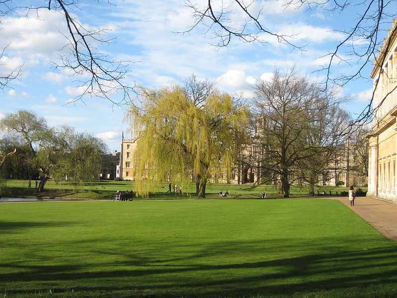
 Landscape of Cambridge
Source: https://commons.wikimedia.org/wiki/File:Landscape_in_Cambridge,_UK.jpg
Author: Hans Wolff

East of England is one of the nine official regions of England. It covers an area of 19,120 sq km (7,382 sq mi), ranking second in terms of size but fourth in terms of population, which stands at 5.4 million people (2011 estimate). East of England has the third highest per capita GDP in England, at £20,524 (2008).
East of England, also called East of England, comprises the ceremonial counties of Bedfordshire, Cambridgeshire, Essex, Hertfordshire, Norfolk and Suffolk. Of these, Essex is the most populous ceremonial county in the region. The main cities here include Norwich, Petersborough, Luton and Southend-on-Sea. The southern part of East of England is within the metropolitan area surrounding London.
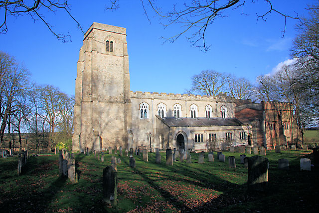
 All Saints Church, Kirtling, Cambridgeshire
Source: https://commons.wikimedia.org/wiki/File:All_Saints_Church,_Kirtling_-_geograph.org.uk_-_1058734.jpg
Author: Bob Jones

Major Towns of East of England
Counties of East of England
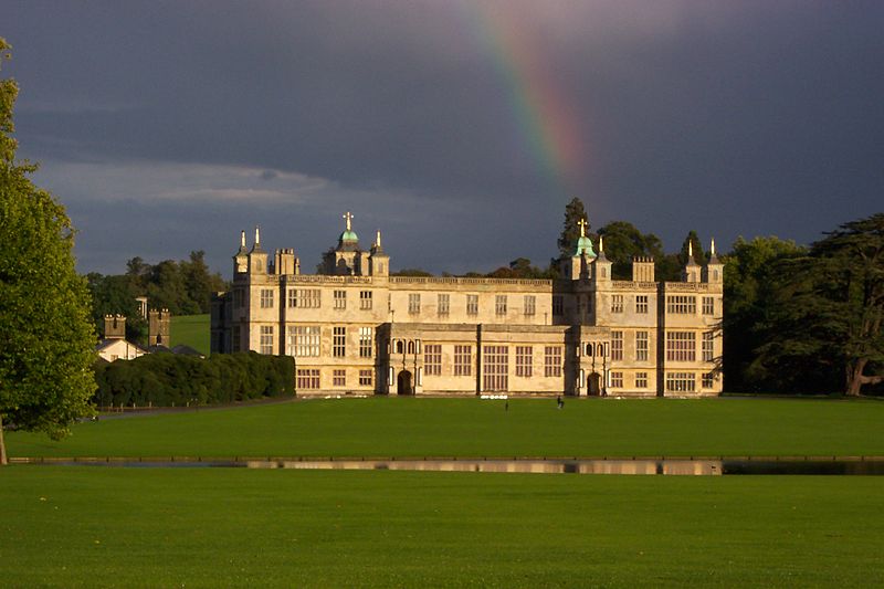
 Audley End House and Gardens, Saffron Walden, Essex, one of the finest country houses in England
Source: https://commons.wikimedia.org/wiki/File:AudleyEndHouse.JPG
Author: Paul W Wells

Before East of England was created in 1994, there was a smaller region known as East Anglia which did not include Essex, Hertfordshire and Bedfordshire which were all part of the South East region.
East of England is a low-lying region. In fact, the lowest part of the United Kingdom is Holme Fen, at 3 meters below sea level, at The Fens, in Cambridgeshire. It is also the flattest region of the country.
 Latest updates on Penang Travel Tips

Copyright © 2003-2025 Timothy Tye. All Rights Reserved.

 Go Back