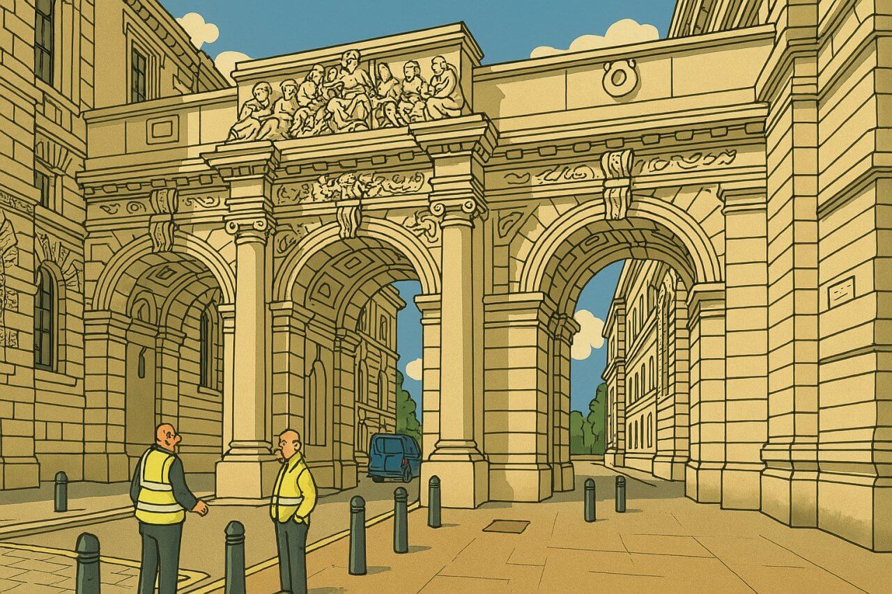
 Ligne claire artwork of King Charles Street, London
King Charles Street is a short but historically significant street in the heart of Westminster, central London. It connects Whitehall on the east with Horse Guards Road on the west and runs just south of the Foreign, Commonwealth & Development Office (FCDO) and the Cabinet Office. The street lies entirely within the City of Westminster and is flanked on both sides by imposing government buildings in the Whitehall conservation area.
 Map of King Charles Street, London
Location and Connections
King Charles Street runs in an east-west direction. At its western end, it opens onto Whitehall, one of London's most iconic ceremonial streets. To the east, it meets Horse Guards Road, which runs along the western edge of St James's Park and the back of the Horse Guards Parade Ground.The street is pedestrianised and cannot be accessed by vehicles. It acts as a quiet and grand architectural corridor connecting some of the most important buildings in British government. It also provides a gateway to Downing Street, which lies immediately to the south and is closed to public access but visible from the street's eastern end.
Origin of the Name
The street was named King Charles Street in 1896, in honour of King Charles I of England (1600-1649). The naming came after the completion of government offices in the area and was part of a late Victorian redevelopment of Whitehall's government quarter. Charles I ruled from 1625 until his execution in 1649, and his reign remains one of the most consequential and controversial in British history.Historical Significance
King Charles Street is lined with grand Edwardian Baroque buildings designed for government use. One of its most notable features is the arched passageway that crosses over the street, connecting two parts of the FCDO building. Bronze plaques and memorials along the street commemorate civil servants who died in the World Wars, adding a reflective and solemn tone to the otherwise imposing setting. This street is also popular with tourists thanks to its cinematic beauty - it has often been used as a filming location, standing in for various official quarters and European capitals.Nearest Underground Station
The nearest Underground station to King Charles Street is Westminster Station, which is served by the Jubilee, District, and Circle lines.King Charles Street on Google Street View
(Jul 2022)Streets in London, Map of Streets in London

Copyright © 2003-2025 Timothy Tye. All Rights Reserved.

 Go Back