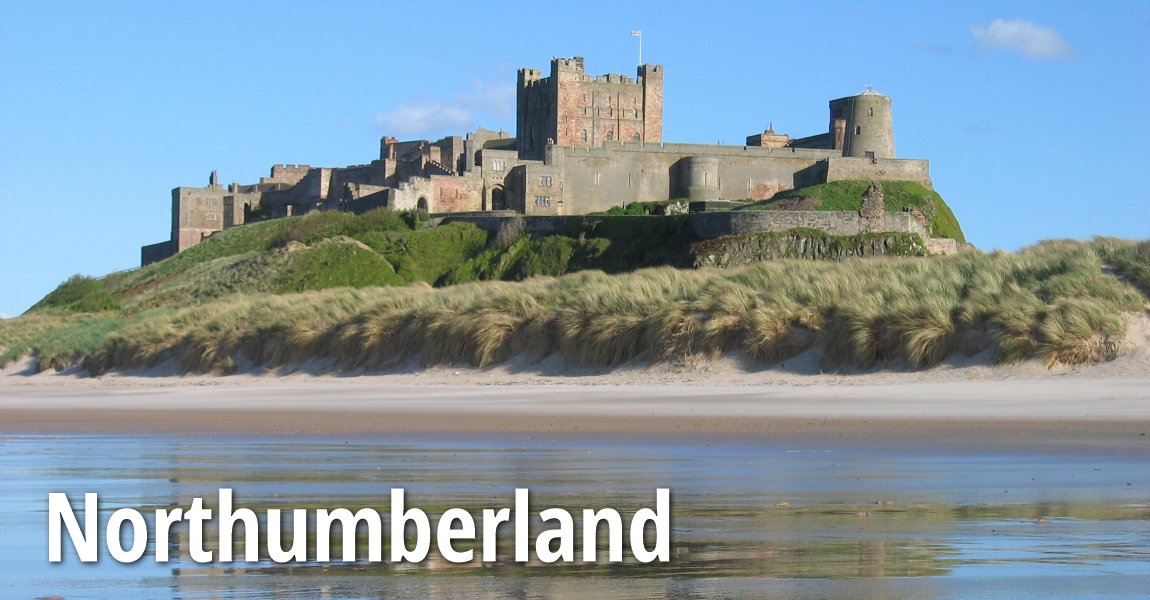
 Bamburgh Castle, Northumberland
Source: https://en.wikipedia.org/wiki/File:Bamburgh_2006_closeup.jpg
Author: Michael Hanselmann

Northumberland is the northernmost ceremonial county in North East England. It covers 5,013 sq km (1,936 sq mi) and has a population of 312,000 people (2012 estimate). The county town is Morpeth. With just 62 people per square kilometer, it is the most sparsely populated county in England, comprising mostly of undeveloped terrain of high moorland.
Northumberland is bordered by Scotland (Scottish Borders) to the northwest, Cumbria to the southwest, County Durham to the south and Tyne and Wear to the southeast. It faces the North Sea to the east.
Northumberland has a diverse physical geography. The areas facing the North Sea coast comprises a stretch of low, flat land. To the northwest of the county are the Cheviot Hills. Located off the coast are the Farne Islands, a group of rocky outcrops supporting colonies of birdlife.
Northumberland has more castles than any other county in England. Its frontier location between England and Scotland provides an explanation for this, as the frequent battles and warfares necessitated the building of castles for defensive purposes.
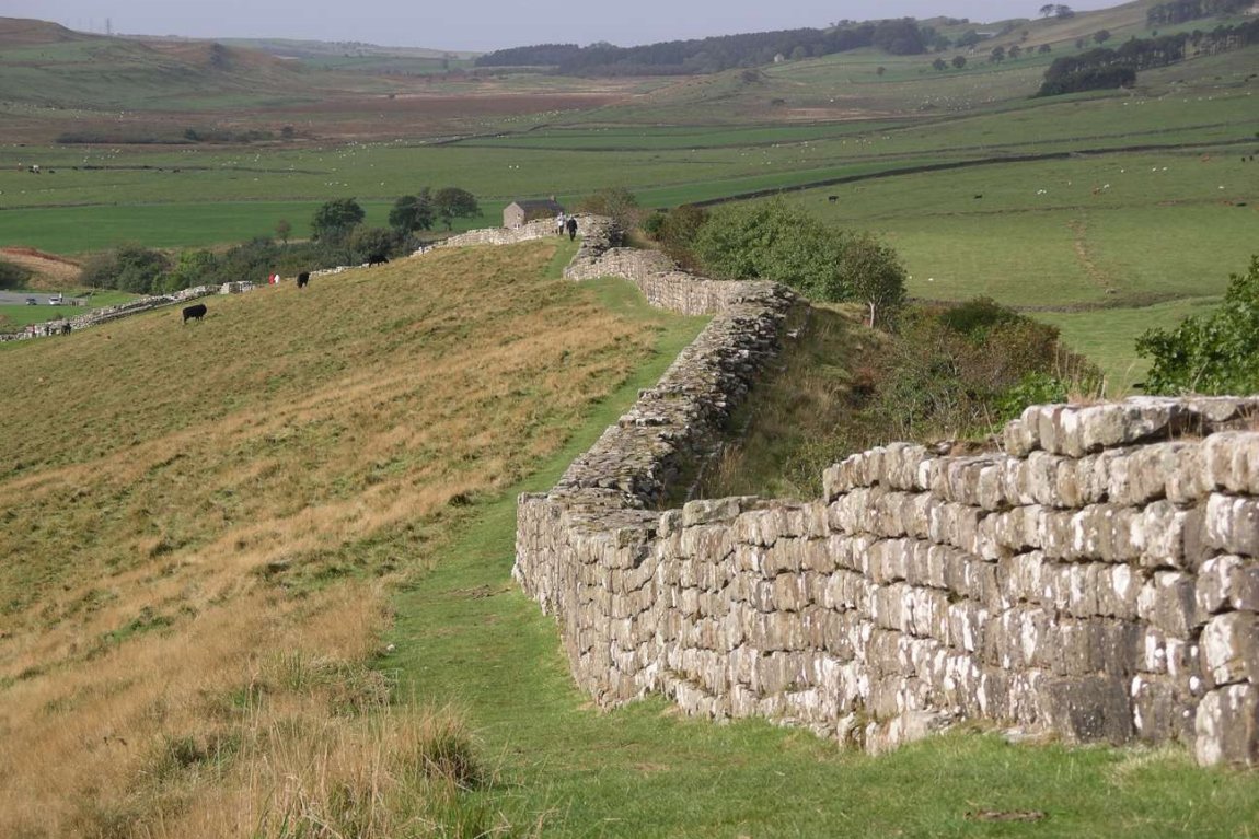
 Hadrian's Wall at Greenhead Lough, Northumberland
Source: https://en.wikipedia.org/wiki/File:Hadrian%27s_wall_at_Greenhead_Lough.jpg
Author: Bill Gats

Towns in Northumberland
Sights in Northumberland
- Cheviot Hills
- Churnsike Lodge
- Coquet Island
- Cragside
- Dunstanburgh Castle
- Farne Islands
- Hadrian's Wall
- Hexham Abbey
- Kielder Water
- Lindesfarne
- North Pennines AONB
- Northumberland National Park
- Prudhoe Castle
Map of Ceremonial Counties of England
 Latest updates on Penang Travel Tips

Copyright © 2003-2025 Timothy Tye. All Rights Reserved.

 Go Back