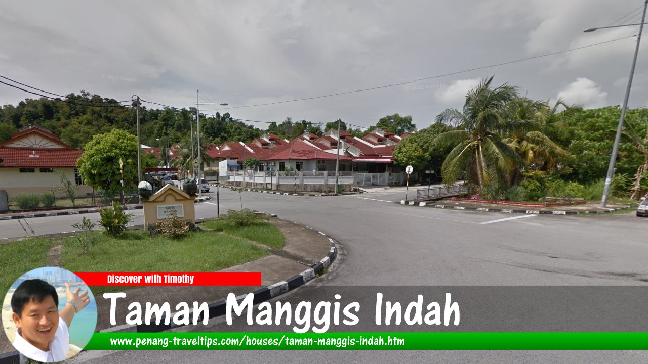
 Taman Manggis Indah, Balik Pulau (Google Street View Dec 2018)
Taman Manggis Indah (GPS: 5.36692, 100.21663) is a housing estate in Balik Pulau, Penang. It has 1-storey and double-storey terrace houses, as well as 1-storey semi-detached houses.
Location of Taman Manggis Indah
Taman Manggis Indah is 24.8 km to Komtar, 21.8 km to the Penang Bridge, 23.1 km to the Second Penang Bridge and 18.9 km to the Penang International Airport.
Nearby amenities from Taman Manggis Indah
Market: Pasar Balik Pulau (GPS: 5.35216, 100.24087; 5.1 km)Hypermarket: TF Value Mart (GPS: 5.37035, 100.21735; 700m)
Petrol station: Petronas Jalan Sungai Pinang (GPS: 5.35142, 100.23281; 3.8 km)
Chinese primary school: SJKC Sin Min (GPS: 5.39933, 100.21357; 3.9 km)
International School: Prince of Wales Island International School (GPS: 5.36826, 100.21952; 1.8 km)
Hospital: Hospital Balik Pulau (GPS: 5.35076, 100.23345; 4.0 km)
Public transport at Taman Manggis Indah
The nearest bus stop on Jalan Sungai Rusa is served by Rapid Penang bus 404 and 501.Traffic situation at Taman Manggis Indah
Traffic along Jalan Sungai Rusa is moderately to heavy for much of the day.Taman Manggis Indah on Google Street View
Taman Manggis Indah (Jun 2014)Taman Manggis Indah is  on the Map of Balik Pulau, Penang
List of Housing Estates in Penang and Housing Estates in Malaysia

Copyright © 2003-2025 Timothy Tye. All Rights Reserved.

 Go Back