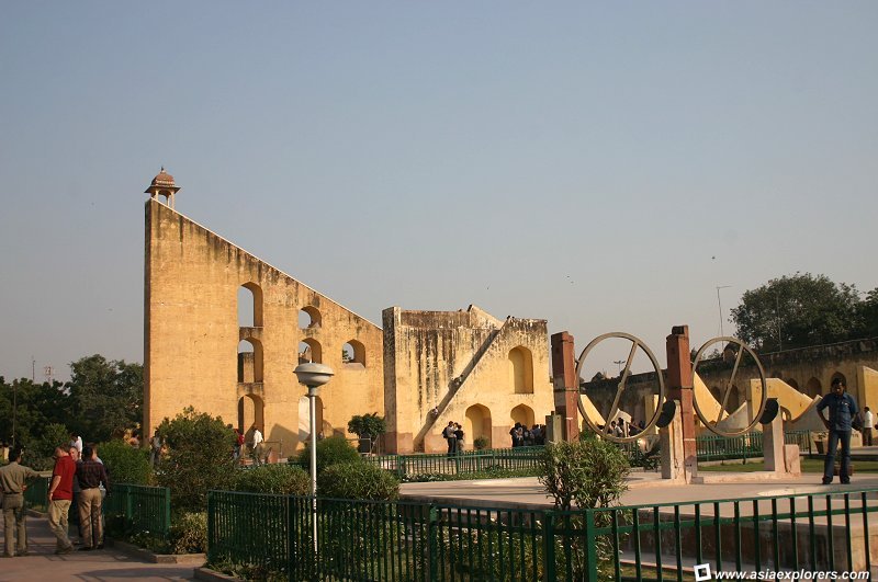
 Jantar Mantar, Jaipur (6 November, 2004)
Jantar Mantar (GPS: 26.92407, 75.8242) is an observatory in Jaipur, Rajastan. It is the biggest and best preserved of the five observatories built by Maharaja Sawai Jai Singh II, a keen astronomer. The other observatories are located in New Delhi, Ujjain, Mathura and Varanasi. Jai Singh was inspired by Mirza Ulugh Beg, the king of Samarkand, who was also an astronomer.
The Jantar Mantar was built between 1728-1734. Jantar Mantar resembles a giant sculptural park and has been described as "the most realistic and logical landscape in stone". Even today, the instruments at Jantar Mantar are still capable to be used to forecast how hot the summer months will be, the expected date of arrival, duration and intensity of the monsoon, the possibility of floods and famine. These are all forecasts that are of interest to any rulers, hence the interest of the maharaja in astronomy.
Jantar Mantar was inscribed as a World Heritage Site during the 34th session of the World Heritage Committee in Brasilia, Brazil, on 25 July - 3 August, 2010.
Jantar Mantar is  on the map of Jaipur
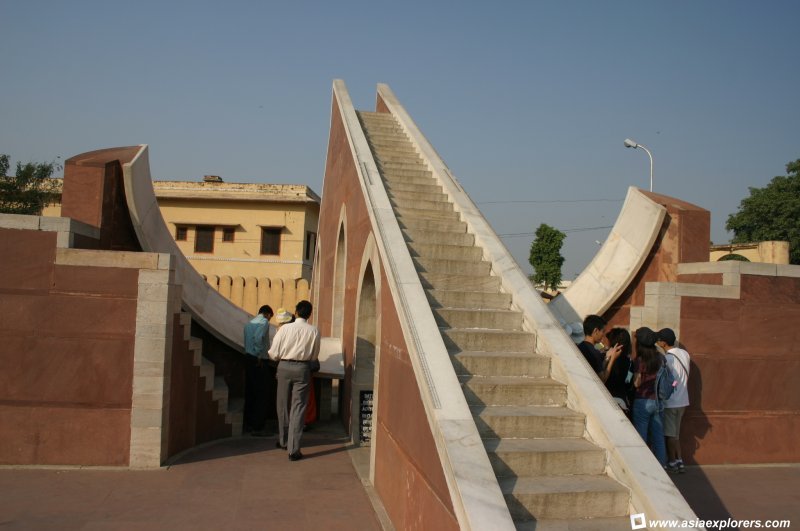 Laghu Samrat Yantra: this is a sundial used to calculate Jaipur's local time, and has an accuracy up to 20 seconds. (6 November, 2004)
World Heritage Site Inscription Details
Location: N26 55 29 E75 49 30Inscription Year: 2010
Type of Site: Cultural
Inscription Criteria: III, IV For our tour of Jantar Mantar, we had an inhouse tour guide explain how each of the instruments work. Here are some of the instruments in the park:
- Narivalaya Yantra These are sundials to calculate time using the solar cycle. They consist of two hemispheres inclined at 27°
- Unnatansha Yantra This is used to determine the position of stars and planets at any time of day or night.
- Laghu Samrat Yantra This is a small sundial. It is constructed on Jaipur's Latitude 27° North, and is used to calculate Jaipur's local time, up to an accuracy of 20 seconds.
- Chakra Yantra These look like brass tubes passing through the centre of two circular metal instruments. They are used to observe the angle of stars and planets from the equator.
- Ram Yantra This one has the appearance of two identical Stonehenge rock circles. It consists of vertical columns supporting an equal number of horizontal slabs. It is used to determine the celestial arc from horizon to zenith as well as the altitude of the sun.
- Jai Prakash Yantra These look like two bowls sunk into the ground. It is believed that Maharaja Jai Singh invented this instrument himself. It is used to verify the accuracy of all the other instruments in the observatory.
- Rashivalaya Yantra This instrument comes in a set of 12 pieces. Each piece represents a different sign of the zodiac, so they face different angle and constellation. It is used by astrologers to make accurate horoscopes.
- Samrat Yantra This gigantic instrument towers 75 ft high. It is a sundial used to forecast crop prospects for the year.
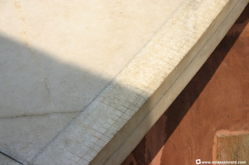 Close up of the measurements on the sundial. (6 November, 2004)
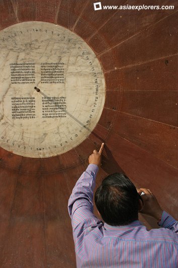 Narivalaya Yantra: sundial to calculate time by following the solar cycle. (6 November, 2004)
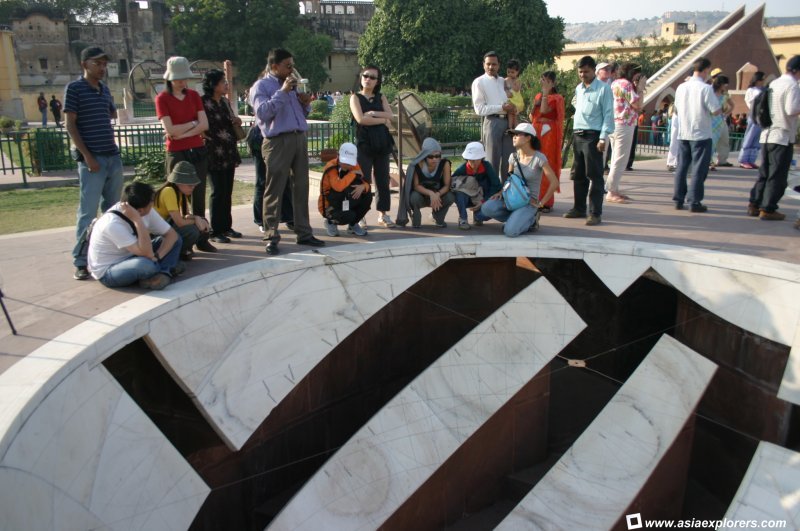 Jai Prakash Yantra: some historians believed that Maharaja Sawai Jai Singh II invented his instrument himself, and is used to verify the accuracy of the other instruments in the observatory. (6 November, 2004)
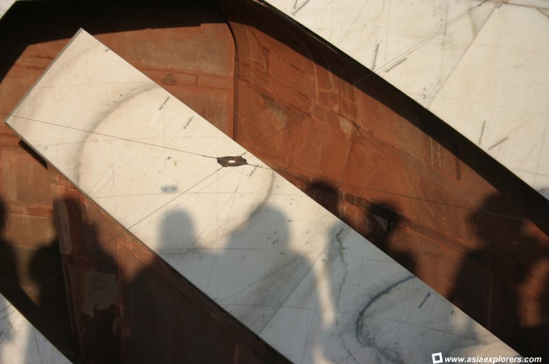 The Jai Prakash Yantra uses the shadow of the orb to measure. (6 November, 2004)
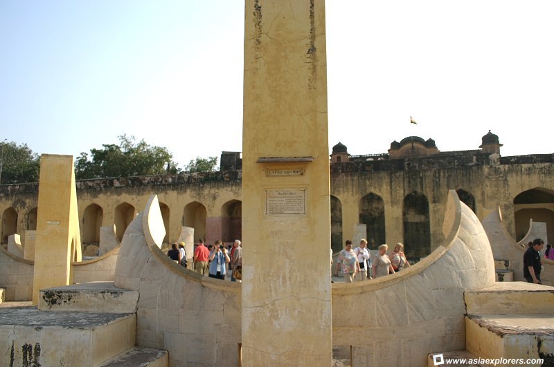 Rashivalaya Yantra: consisting of 12 pieces, each representing a different zodiac sign, used to make horoscopes. (6 November, 2004)
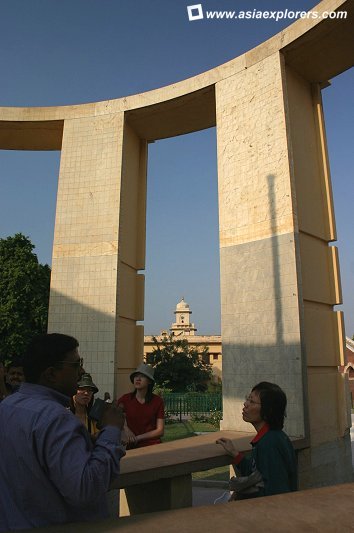 Ram Yantra: used to determine the celestrial arc from horizon to zenith. (6 November, 2004)
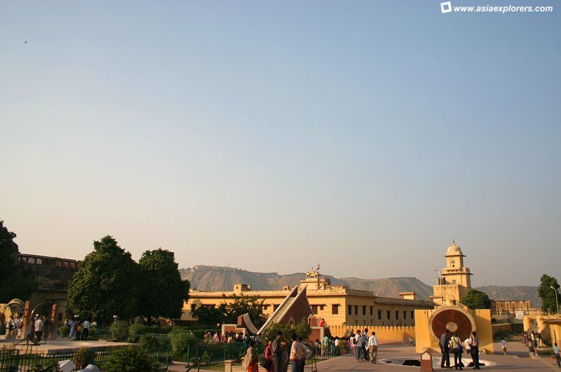 An overview of all the instruments in the park. (6 November, 2004)
 Latest updates on Penang Travel Tips
 Map of Roads in Penang
Looking for information on Penang? Use this Map of Roads in Penang to zoom in on information about Penang, brought to you road by road.
Copyright © 2003-2025 Timothy Tye. All Rights Reserved.

 Go Back