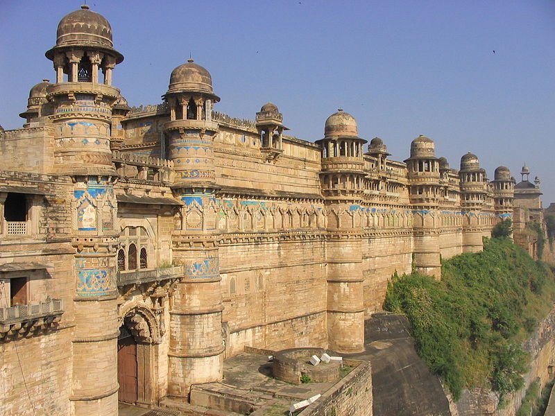
 Gwalior Fort, Madhya Pradesh
Source: http://commons.wikimedia.org/wiki/File:257_Gwalior.jpg
Author: YashiWong

Author: YashiWong

Madhya Pradesh मध्य प्रदेश) is a landlocked city in central India. It covers 308,252 sq km (119,016.8 sq mi) and has a population of 76 million people (2011 estimate).
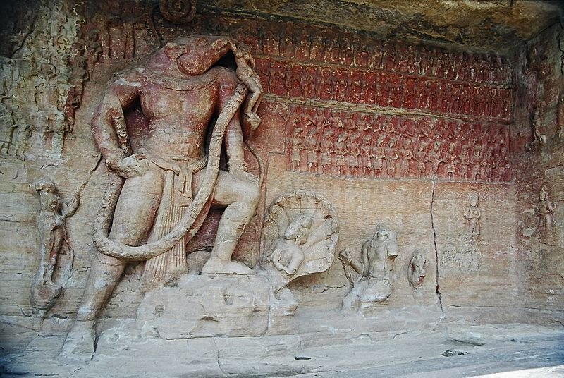
 Massive carving of Vishnu in the Udaigiri Cave Temple, Vidisha, Madhya Pradesh
Source: http://commons.wikimedia.org/wiki/File:Boar-carving_Udaigiri_Vidisha_.jpg
Author: Clt13

Author: Clt13

Madhya Pradesh is the 2nd largest state in India with the 6th largest population. It is bordered by Rajastan to the northwest, Uttar Pradesh to the north, Chhattisgarh to the east, Maharashtra to the south and Gujarat to the west. The capital and biggest city is Bhopal while the largest urban area is Jabalpur, which is the third biggest city.
The name Madhya Pradesh means "central province" in Hindi. The central feature of the state is the Narmada River, which flows from east to west into the Gulf of Cambey in the Arabian Sea. The river is traditionally regarded as the boundary between north and south India.
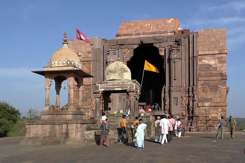
 Temple of Bhojpur, Raisen district, Madhya Pradesh
Source: http://commons.wikimedia.org/wiki/File:Temple_of_Bhojpur.jpg
Author: Yann

Author: Yann

Madhya Pradesh experiences a subtropical climate. The hottest months are from April to July, followed by the wet months from July to September, and the cool, dry montsh from October to March. The southeastern parts of Madhya Pradesh is the wettest region, with 2,150 mm (84.6 in) of rain per year, compared to the western and north-western districts, which only get about 1,000 mm (39.4 in) of rain.
Madhya Pradesh comprises 50 districts grouped into 10 divisions namely Bhopal, Jabalpur, Indore, Chambal, Gwalior, Rewa, Sagar, Ujjain, Shahdol and Hoshangabad. The predominant language here is Hindi, although there are also regional languages such as Malvi, Nimadi, Bundeli and Bagheli. Many of these languages have their own dialects. There are also tribal groups in Madhya Pradesh, and they speak their own distinct languages such as Bhili, Gondi, Korku, Kalto and Nihali. Marathi is also understood by many people, as the are was once urled by the Marathas.
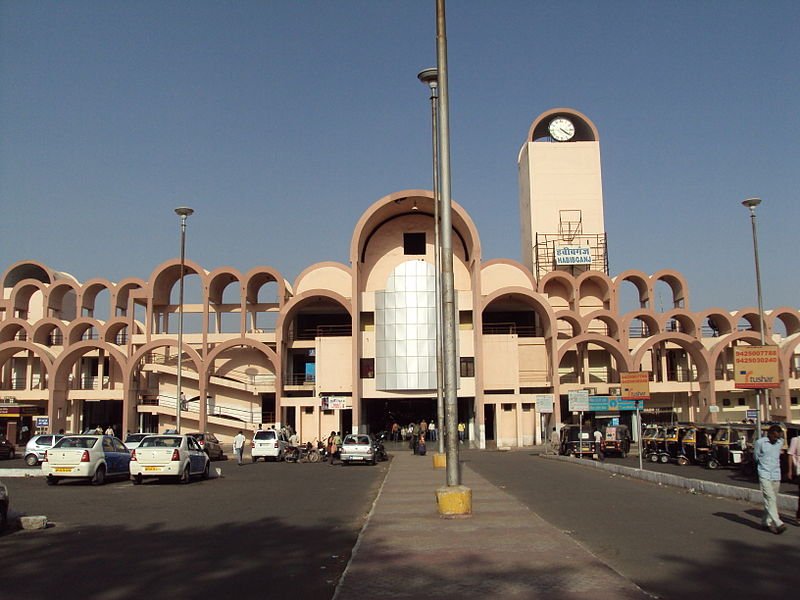
 Habibganj Railway Station, Bhopal
Source: http://en.wikipedia.org/wiki/File:Habibganj_Bhopal.jpg
Author: Aman Gupta

Author: Aman Gupta

How to go to Madhya Pradesh
The main gateway to Madhya Pradesh are its major cities such as Bhopal. The Raja Bhoj International Airport (BHO), located 15 km (9.3 mi) to the northwest of Bhopal receives flights from major cities in India including Ahmedabad, Delhi, Chennai, Hyderabad, Indore, Mumbai and Rajpur.The Bhopal Habibganj Railway Station is the main railway station for Bhopal. It is located in Habibganj in New Bhopal, and is connected to major cities of India by various train services.
Main Cities in Madhya Pradesh
Regions in Madhya Pradesh
- Baghelkhand
- Bundelkhand
- Chambal
- Mahakoshal
- Malwa
- Nimar
- Satpura
- Vindhya
World Heritage Sites in Madhya Pradesh
- Khajuraho Group of Monuments
- Buddhist Monuments at Sanchi
- Rock Shelters of Bhimbetka
National Parks in Madhya Pradesh
- Bandhavgarh National Park
- Kanha National Park
- Madhav National Park
- Mahakaleshwar
- Mandla Plant Fossils National Park
- Panna National Park
- Pench National Park
- Sanjay National Park
- Satpura National Park
- Van Vihar National Park
 Latest updates on Penang Travel Tips
 Map of Roads in Penang
Looking for information on Penang? Use this Map of Roads in Penang to zoom in on information about Penang, brought to you road by road.
Copyright © 2003-2025 Timothy Tye. All Rights Reserved.

 Go Back