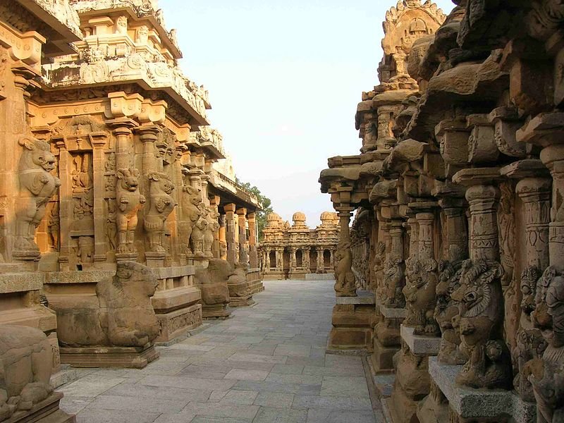
 Kailash Temple, Ellora, Maharashtra
Source: http://commons.wikimedia.org/wiki/File:Kailasanatha_Temple_Corridor.JPG
Author: Suresh Bharathan

Author: Suresh Bharathan

Maharashtra महाराष्ट्र) is a state on the west coast of India. Covering 307,713 sq km (118,808.7 sq mi), Maharashtra has a population of 113 million people (2011 estimate). It is the third biggest state by area in India, and the second most populous. But in terms of industrial output, Maharashtra is the richest state, contributing 13.2% of the country's GDP.
Main Cities in Maharashtra
- Mumbai - state capital
- Ahmednagar
- Amravati
- Aurangabad
- Ichalkaranji
- Kolhapur
- Nanded
- Nagpur
- Nashik
- Pune
Main Sights in Maharashtra
- Ajanta Caves
- Ashtavinayak Temples
- Ellora Caves
- Lonar
- Mulshi
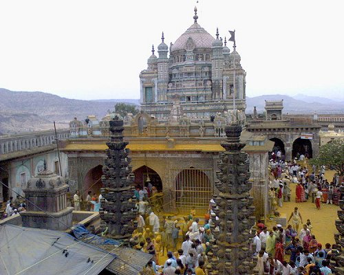 Khandoba Temple, Jejuri, Maharashtra
Source: http://commons.wikimedia.org/wiki/File:Jejuri-2.JPG
Author: Vishalsdhumal

Author: Vishalsdhumal

Maharashtra observes the India Standard Time, which is 5:30 hours ahead of Coordinated Universal Time (UTC+5:30). It is bordered by Madhya Pradesh to the north, Chhattisgarh to the east, Andhra Pradesh to the southeast, Karnataka to the south and Goa to the southwest. In addition, the state of Gujarat is on the northwest, separated from Maharashtra by the Union territory of Dadra and Nagar Haveli. Maharashtra faces the Arabian Sea to the west.
With a population of 113 million people, Maharashtra would be the 12th biggest state in the world if it were an independent country. Some 42% of the population live in urban areas. The majority of the people in Maharashtra speak Marathi (62.5 million), the official state language. English and Hindi are also understood by many. 83% of the population are Hindus.
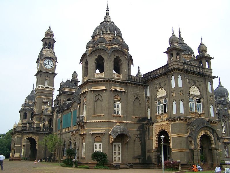 New Palace, Kolhapur, Maharashtra
Source: http://commons.wikimedia.org/wiki/File:Kolhapur_New_Palace.jpg
Author: Vijayshankar.munoli

Author: Vijayshankar.munoli

The Maharashtra area has been inhabited since ancient times. The Marathas became a powerful empire in the 18th century, when they rose against the Mughals to rule over one-third of the Indian subcontinent. The empire eventually collapsed when it lost the third Anglo-Maratha War (1817-1818), after which the territory was made part of Bombay State under a British Raj. The state of Maharashtra was created on 1 May, 1960, now known as Maharashtra Day, uniting all the places where the Marathi language predominates, including Bombay state, Deccan states and Vidarba.
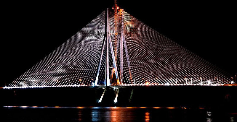 Bandra-Worli Sea Link, Mumbai
Source: http://commons.wikimedia.org/wiki/File:India_Mumbai_Bridge_.jpg
Author: Amit Kulkarni

Author: Amit Kulkarni

How to go to Maharashtra
The Chhatrapati Shivaji International Airport (BOM), 28 km from Mumbai, is the biggest and second busiest airport in South Asia. Together with the Indira Gandhi International Airport, it handles over half of all air traffic in South Asia.Arriving at Chhatrapati Shivaji Airport, you can take a prepaid taxi to downtown Mumbai. The fare is around र450-600. While it is also possible to take a metered taxi from the airport, in this case a prepaid taxi is a better idea if you are not familiar with the route. Otherwise, you may be literally taken for a long joy ride.
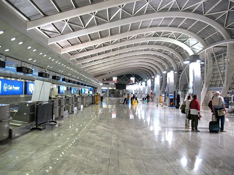 Mumbai International Airport
Source: http://commons.wikimedia.org/wiki/File:Mumbai_Airport.jpg
Author: Alex Graves

Author: Alex Graves

 Latest updates on Penang Travel Tips
 Map of Roads in Penang
Looking for information on Penang? Use this Map of Roads in Penang to zoom in on information about Penang, brought to you road by road.
Copyright © 2003-2025 Timothy Tye. All Rights Reserved.

 Go Back