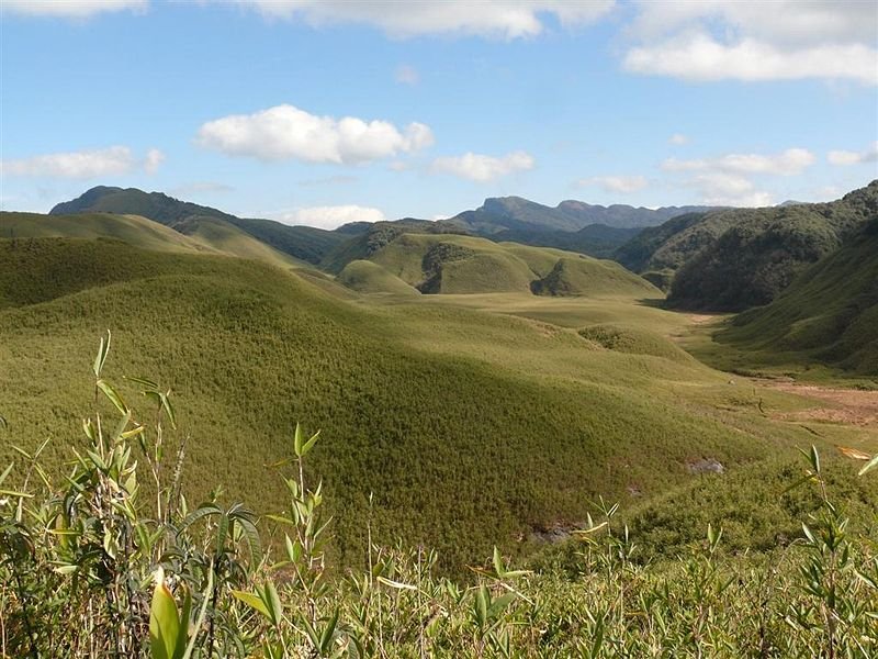
 Dzuko Valley, Manipur
Source: http://commons.wikimedia.org/wiki/File:The_Dzukou_Valley.JPG
Author: Mongyamba

Author: Mongyamba

Manipur মণিপুর) is a small state in northeastern India. It shares a border with Nagaland to the north, Mizoram to the south and Assam to the west. It is also bordered by Myanmar to the east. Manipur covers 22,347 sq km (8,628 sq mi) and has a population of 2.7 million people (2011 estimate).
The people of Manipur comprise a number of ethnic groups of which the Meiteis predominates, constituting some 60% of the total population. Their language, Meiteilon, is the lingua franca of Manipur, and has been recognised since 1992 as one of the national languages of India. Small minority groups including the Kukis, Nagas and Hmars constitute the remaining 40% of the population of Manipur.
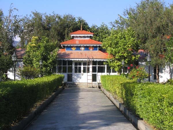
 Ratan Thiyam's Chorus Repertory Theatre, Manipur
Source: http://commons.wikimedia.org/wiki/File:Chorus_Repertory_Theater.jpg
Author: Mongyamba

Author: Mongyamba

Manipur observes the India Standard Time, which is five and a half hours ahead of Coordinated Universal Time (UTC+5:30). The state capital and largest city is Imphal.
Geographically, Manipur comprises two distinct parts, one comprising rugged hills and the other flat plains. These two parts of the state hold different types of vegetation, with in turn supports different types of wildlife. The state ranges in height from 40 m above sea level at Jiribam to 2,994 m at the peak of Mount Iso.
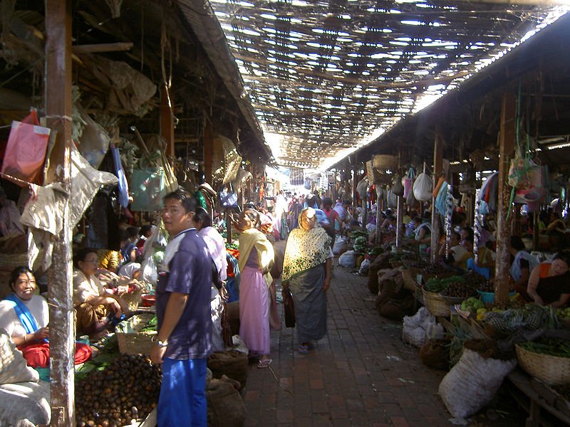
 Imphal marketplace
Source: http://commons.wikimedia.org/wiki/File:Imphal_women_market_4.JPG
Author: Dirklaureyssens

Author: Dirklaureyssens

Manipur experiences a tropical climate. The hottest month is July, when the average high temperature rises to 32°C. Coldest month is January, when some areas experience temperature below 0°C. Some of the hilly parts of Manipur receive some snow during January. Rain is heaviest from May until mid-October. The best time to visit Manipur is either October-November or February-March, when it is neither too cold nor hot.
If you wish to witness some of the local festivals, you should time your visit as follows: Yaoshang Festival happens in February/March. It is celebrated for five days beginning with the full moon of Phalguna. Ningol Chakouba Festival takes place in November. During this festival, married women return to their parental home with their children. The festival renews family ties with women who have left the parental home upon marriage. Kut Festival is another festival that takes place in November. This is held after the harvest, and is mainly celebrated by the Kuki-Chin tribes.
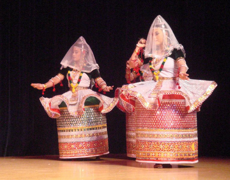
 Manipuri dance
Source: http://commons.wikimedia.org/wiki/File:Manipuri_Dance.jpg
Author: Matsukin

Author: Matsukin

Planning your trip to Manipur
Foreigners entering Manipur usually require a Protected Area Permit (PAP), as Manipur is one of the restricted regions of India. However, this permit is waived for a period of one year as of 1 January, 2011.Tulihal Airport, also called Imphal Airport (IMF) is the main gateway to Manipur. It is located 8 km to the south of Imphal, the capital. The airport receives flights from major cities of India such as Delhi, Kolkata, Bengaluru and Guwahati.
Main Cities in Manipur
- Imphal - capital
- Bishnupur
 Latest updates on Penang Travel Tips
 Map of Roads in Penang
Looking for information on Penang? Use this Map of Roads in Penang to zoom in on information about Penang, brought to you road by road.
Copyright © 2003-2025 Timothy Tye. All Rights Reserved.

 Go Back