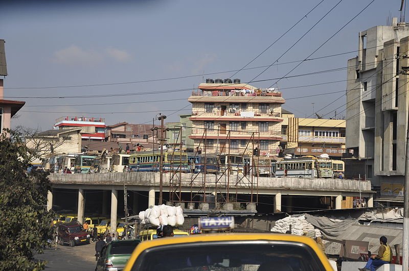
 Shillong, Meghalaya
Source: https://commons.wikimedia.org/wiki/File:Street_scene_Shillong_Meghalaya.jpg
Author: rajkumar1220

Author: rajkumar1220

Shillong is the capital of Meghalaya. This is a city of about 145,000 people. It is located in the highlands about 1,525 meters above sea level. The highest point in Shillong is Shillong Peak, which is 1,966 meters (6,449 feet).
Shillong is located between the Brahmaputra and Surma valley. It is due to its good location that Shillong was made the capital. It also served as the capital of Assam from 1874 until 1972, when the state of Meghalaya was created, and Assam got a new capital, Dispur.
The town is surrounded by hills. Although it is near Mawsynram, the wettest place on earth, it receives much less rain, about 90 inches per year.
Places of Interest in Shillong
- Air Force Museum, Upper Shillong
- Arunachal Museum
- Bishop and Beadon Falls
- Botanical Museum
- Captain Williamson Sangma State Museum
- Cathedral of Mary Help of Christians
- Crinoline Falls
- Don Bosco Centre for Indigenous Cultures
- Elephant Falls
- Forest Museum, Lady Hydari Park
- Lady Hydari Park
- Motphran
- Rhino Heritage Museum
- Shillong Peak
- Spread Eagle Falls
- State Museum
- Sweet Falls
- Wards Lake
- Zoological Museum, Risa Colony
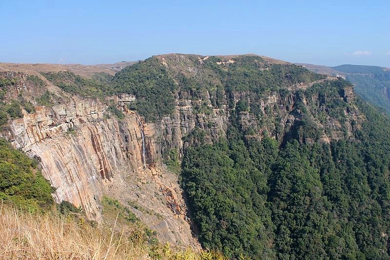
 Wagafa Falls, Shillong
Source: https://commons.wikimedia.org/wiki/File:Wagafa_Falls,_Shillong.JPG
Author: Sujay Kumar Paul

Author: Sujay Kumar Paul

Getting there
National Highway 40 connects Shillong with Guwahati while National Highway 44 connects it with Tripura and Mizoram. Latest updates on Penang Travel Tips
 Map of Roads in Penang
Looking for information on Penang? Use this Map of Roads in Penang to zoom in on information about Penang, brought to you road by road.
Copyright © 2003-2025 Timothy Tye. All Rights Reserved.

 Go Back