
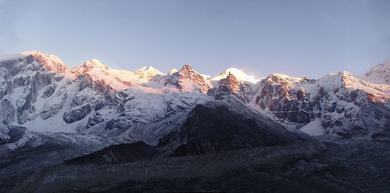
 Kabru Mountain Range, Sikkim
Source: http://commons.wikimedia.org/wiki/File:Kabru_Complex.jpg
Author: Shillika

Author: Shillika

Sikkim सिक्किम) is a small landlocked state in northeastern India. It covers just 7,096 sq km (2,739.8 sq mi) and has a population of around 607,000 (2011 estimate). Sikkim is bordered by China to the north, Nepal to the west, Bhutan to the east and the Indian state of West Bengal to the south. The capital and largest city in Bhutan is Gangtok.
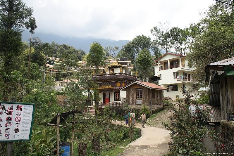 Khecheolpalri Village, Sikkim
Source: http://commons.wikimedia.org/wiki/File:Village_near_Khecheolpalri_Lake.jpg
Author: Kothanda Srinivasan

Author: Kothanda Srinivasan

Sikkim has a diverse geography that ranges from humid subtropical rainforest to high alpine forest. It is also home to the third tallest peak in the world, Kangchenjunga, which is at the border with Nepal.
Sikkim was an independent country until 1975, when it merged to become a state in India. Its history goes back to the 9th century, when it was mentioned in the sacred manuscript of Buddhist saint Guru Rinpoche, who is credited with introducing the religion to Sikkim.
The Royal Family of Sikkim originates, according to legend, from Khye Bumsa, a prince from eastern Tibet who traveled south upon receiving divine revelation. The fifth generation of Khye Bumsa's descendant, Phuntsog Namgyal, became the first king of Sikkim in 1642.
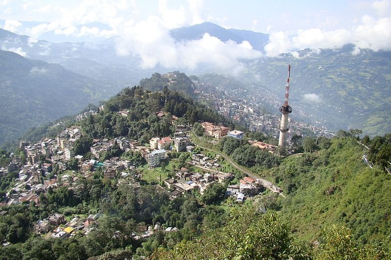 Gangtok, Sikkim
Source: http://commons.wikimedia.org/wiki/File:Sikkim_Gangtok.jpg
Author: Kailas98

Author: Kailas98

The kingdom of Sikkim faced constant threat from Nepal. When the British arrived, it allied itself to the British. In 1814, an attack by the Nepalese on Sikkim resulted in the Gurkha War, which led to the signing of a treaty between Sikkim and Nepal for the return of territories annexed by the latter. Meanwhile relationship with the British was strained by the British imposed tax on the Morang region. When two British physicians were detained by Sikkim authorities in 1849, the British retaliated. This led to the annexation of Darjeeling and Morang into India.
Sikkim became a British protectorate in 1890. A referendum in 1947 reject joining India. Nonetheless it came under Indian suzerainty, with India taking charge of its external affairs, defence, diplomacy and communications, but otherwise allowing Sikkim a high degree of autonomy. In 1973 rioting erupted in Gangtok, forcing the government to seek help from India. In 1975, the prime minister of Sikkim sought statehood within India. A new referendum saw 97.5% voting to join India. This was accomplished a few weeks later, on 16 May, 1975, with Sikkim becoming the 22nd state and also the 2nd smallest state in India.
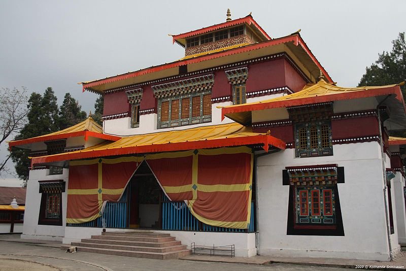 Enchery Gompa Monastery, Gangtok, Sikkim
Source: http://commons.wikimedia.org/wiki/File:Enchey_Gompa_in_Gangtok.jpg
Author: Kothanda Srinivasan

Author: Kothanda Srinivasan

How to go to Sikkim
Sikkim is a restricted area, so foreign tourists need a Restricted Area Permit. If you are going there through a local travel agency, the agency should be able to iron that out for you. In any case, the permits are available at the immigration office of major airports.The nearest airport to Sikkim is the one at Bagdogra, in West Bengal, served by Indian Airlines, Jet Airways, Kingfisher, SpiceJet, among others. It's still a four hour journey from there to Gangtok. There is a government-operated taxi/minivan stand at the airport. The charter of a taxi from the airport to Gangtok will cost you Rs 1,100 while the minivan is Rs 1,500, so try to get other travelers to share the fare with you.
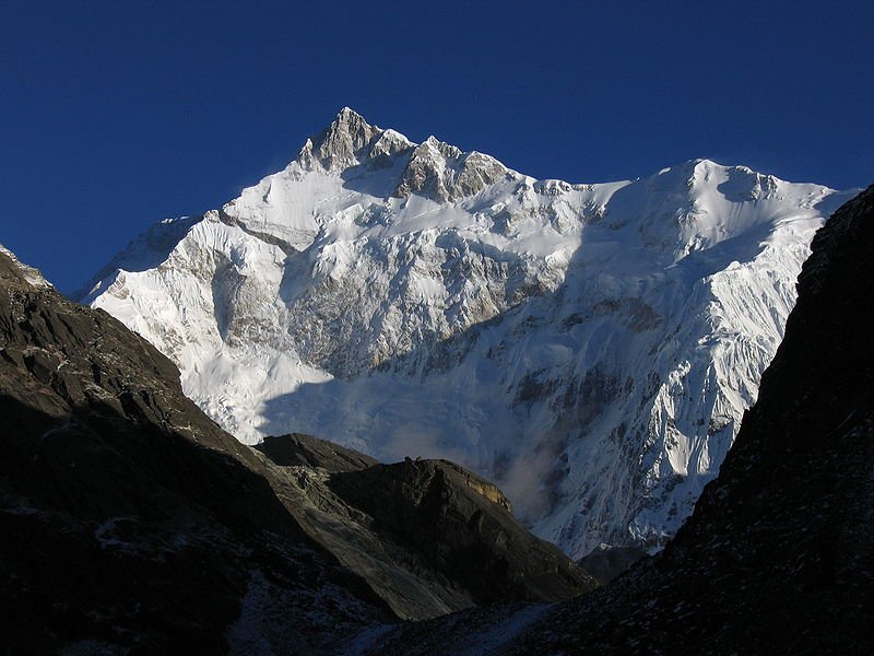 View of Kangchenjunga from Goecha La pass
Source: http://commons.wikimedia.org/wiki/File:Kangch-Goechala.jpg
Author: Ashinpt

Author: Ashinpt

Main Cities in Sikkim
- Gangtok - capital
- Dzongu
- Geyzing
- Mangan
- Namchi
- Pelling
- Ravangla
- Yuksom
 Latest updates on Penang Travel Tips
 Map of Roads in Penang
Looking for information on Penang? Use this Map of Roads in Penang to zoom in on information about Penang, brought to you road by road.About this website

Dear visitor, thank you so much for reading this page. My name is Timothy Tye and my hobby is to find out about places, write about them and share the information with you on this website. I have been writing this site since 5 January 2003. Originally (from 2003 until 2009, the site was called AsiaExplorers. I changed the name to Penang Travel Tips in 2009, even though I describe more than just Penang but everywhere I go (I often need to tell people that "Penang Travel Tips" is not just information about Penang, but information written in Penang), especially places in Malaysia and Singapore, and in all the years since 2003, I have described over 20,000 places.
While I try my best to provide you information as accurate as I can get it to be, I do apologize for any errors and for outdated information which I am unaware. Nevertheless, I hope that what I have described here will be useful to you.
To get to know me better, do follow me on Facebook!
Copyright © 2003-2025 Timothy Tye. All Rights Reserved.

 Go Back