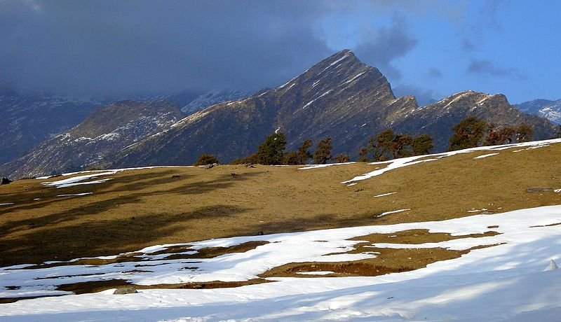
 Highland pastures from Chopta to Tungnath Temple in Uttarakhand
Source: http://commons.wikimedia.org/wiki/File:Bugyals_enroute_Tungnath.jpg
Author: Vvnataraj

Author: Vvnataraj

Uttarakhand उत्तराखण्ड) is a relatively new state in India created on 9 November 2000 out of the northwestern districts of Uttar Pradesh. Its name, just as with Uttar Pradesh, also means northern country or northern part, and is derived from Sanskrit. The state is composed of thirteen districts. It covers 53,566 sq km and has a population of 10.1 million people (2011 estimate). It observes the India Standard Time, which is UTC+5:30. The capital and largest city in Uttarakhand is Dehradun.
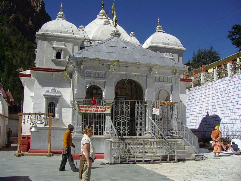 Gangotri Temple in Uttarakhand
Source: http://commons.wikimedia.org/wiki/File:Gangotri_temple.jpg
Author: Atarax42

Author: Atarax42

The name Uttarakhand has been in use to denote the area within is within the Indian Himalayas. The area was originally settled by the Kols tribe, and later joined by Indo-Aryan Khas tribes. Uttarakhand is mountainous, with mountains covering 93% of the state. For decades the forests in Uttarakhand was denuded by uncontrolled logging carried out during British colonial times and later, by forest contractors. However recent efforts are reforestation has provded successful in improving the forest cover in many parts of the state.
Tourism, in the form of leisure, adventure and religious, form an important component of Uttarakhand's economy. There are many high mountains in the area that are continously attracting mountaineers, although Uttarakhand's highest mountain, the 7,816 m (25,643 ft) Nanda Devi, has been off limits since 1982. Activities such as hiking and rock climbing have become increasingly popular in the state, along with eco tourism and agritourism.
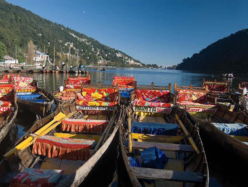 Boats of Nainital Lake in Uttarakhand
Source: http://commons.wikimedia.org/wiki/File:Boats_on_the_Lake.jpg
Author: Sanjoy Ghosh

Author: Sanjoy Ghosh

Uttarakhand is also becoming a popular destination for leisure tourists, with numerous scenic locations such as the Valley of Flowers. The state also attracts pilgrims, religious tourist and cultural tourists, with its numerous sacred sites and pilgrimage destinations for not only the Hindus but also Sikhs and Tibetan Buddhists.
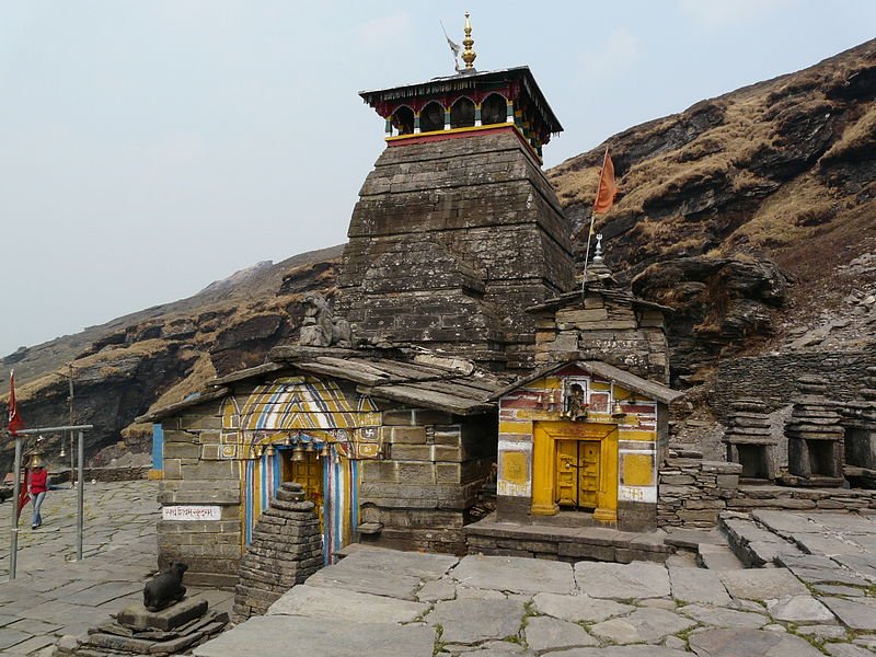 Tungnath, the highest Hindu temple in the world, in Uttarakhand
Source: http://commons.wikimedia.org/wiki/File:Tungnath_temple1.jpg
Author: varunshiv

Author: varunshiv

How to go to Uttarakhand
There are bus and train services connecting New Delhi with Haridwar, the gateway to Uttarakhand.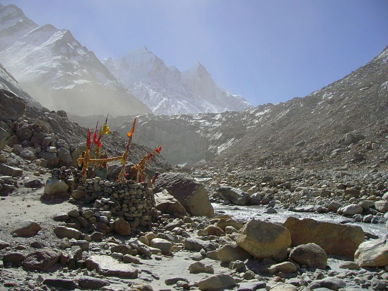 Gaumukh, meaning cow's mouth, at the end of Gangotri glacier, the source of Bhagirathi River
Source: http://commons.wikimedia.org/wiki/File:Gaumukh_Gangotri_glacier.jpg
Author: Atarax42

Author: Atarax42

Main Cities in Uttarakhand
- Dehradun - capital
- Almora
- Chamba
- Haridwar
- Mussoorie
- Nainital
- Pithoragarh
- Rishikesh
Regions of Uttarakhand
- Garhwal
- Kumaon
Places of Interest in Uttarakhand
- Auli Ski Resort
- Badrinath Temple
- Bhowali
- Bhojwasa
- Bigul
- Binsar
- Chakrata Hill Station
- Choukari Hill Station
- Corbett National Park
- Dunagiri Nature Retreat
- Gangotri
- Gopeshwar
- Kedarnath Temple
- Peora
- Valley of Flowers National Park
- Yamunotri
 Latest updates on Penang Travel Tips
 Map of Roads in Penang
Looking for information on Penang? Use this Map of Roads in Penang to zoom in on information about Penang, brought to you road by road.
Copyright © 2003-2025 Timothy Tye. All Rights Reserved.

 Go Back