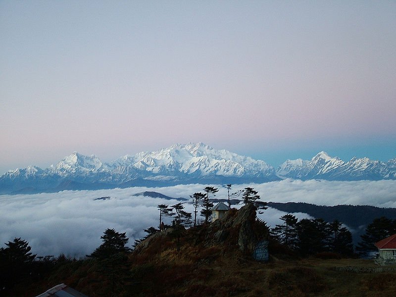
 Snow-capped Sandakphu, highest mountain in West Bengal, India
Source: http://commons.wikimedia.org/wiki/File:Sandakphu.jpg
Author: solarshakti

Author: solarshakti

West Bengal পশ্চিমবঙ্গ) is a state on the eastern bottleneck of India. It stretches from north to south covering a narrow band between the Indian states to the west and Bangladesh largely to the east. West Bengal covers 88,752 sq km (34,267 sq mi) and has a population of 91,347,736. It is the 13th largest state in terms of size, but ranks fourth in terms of population. It is the second most densely populated state in India after Bihar.
Main Cities in West Bengal
- Kolkata - capital
- Asansol
- Darjeeling
- Durgapur
- Falta
- Gadiara
- Haldia
- Howrah
- Ranaghat
- Sagardwip
- Santiniketan
- Siliguri
Major Sights in West Bengal
- Bibhuti Bhushan Wildlife Sanctuary
- Bishnupur
- Cooch Behar
- Gorumara National Park
- Gour-Pandua
- Murshidabad
- Sundarbans National Park
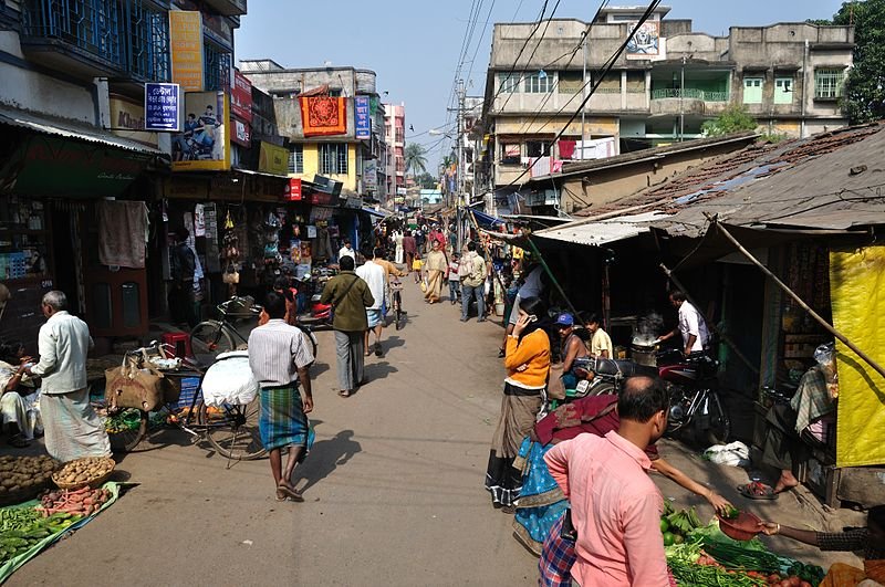
 Koley Market in Howrah, West Bengal
Source: http://commons.wikimedia.org/wiki/File:P_K_Roy_Chowdhury_2nd_Bye_Lane_-_Howrah_2011-01-08_9908.JPG
Author: Biswarup Ganguly

Author: Biswarup Ganguly

West Bengal comprises two main regions. To the north are the sub-Himalayan and Himalayan areas while to the south the Gangetic Plain, where the state capital and largest city, Kolkata, is located.
West Bengal was part of the larger Bengal, a geographical and historical region at the apex of the Bay of Bengal. It was split along religious lines following the independence, becoming East Pakistan and West Bengal. East Pakistan broke from Pakistan in 1971 to form the modern state of Bangladesh.
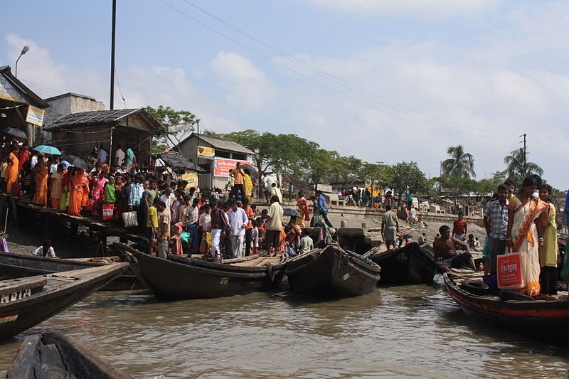
 Hasnabad ferry pier in West Bengal for ferry services to Bangladesh
Source: http://commons.wikimedia.org/wiki/File:HasnabadFerry.JPG
Author: Arne Hückelheim

Author: Arne Hückelheim

The Ganges is the main river that flows through West Bengal. It splits into two distributaries within the state, with one branch entering Bangladesh as the Padma, while the other flows through West Bengal as the Bhagirathi River. The tallest mountain in West Bengal is the 3636 m (11,929 ft) Sandakphu, located at the edge of the Singalila National Park on the border between West Bengal and Sikkim.
The climate of West Bengal is determined by its location and elevation. The low-lying parts of the state experiences a tropical savannah climate while the northern parts a humid subtropical climate. Most of the people in the state are farmers, or depend on agriculture for their livelihood. Food crops grown in the state include pulses, oil seeds, wheat and potatoes while the main cash crop is jute. The highland ares of the state, particularly Darjeeling, is a major producer of high-quality teas.
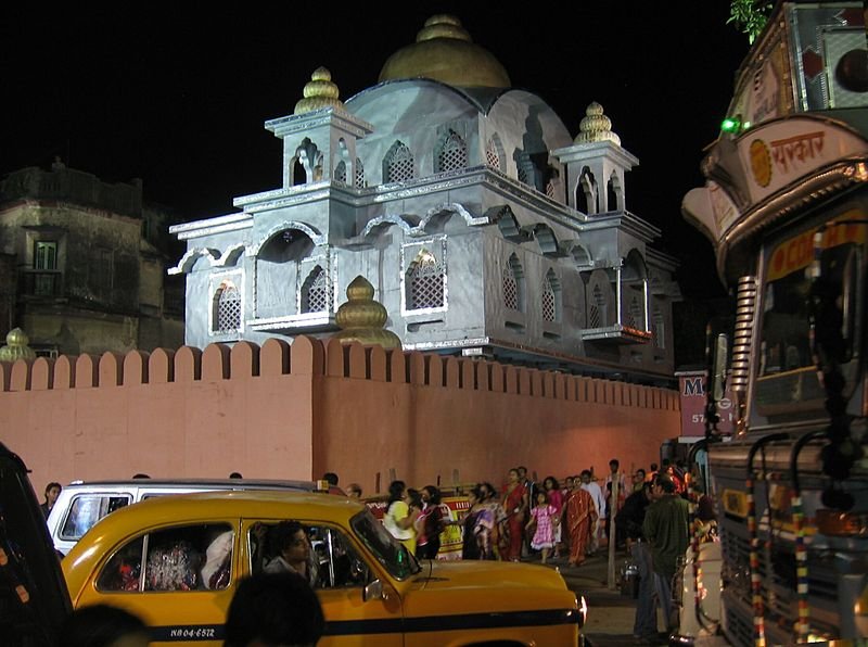
 Night time in Aharitolla, Kolkata
Source: http://commons.wikimedia.org/wiki/File:5459g_ahiritolla_traffic-jam-crowds-at-0418AM.jpg
Author: Mukerjee

Author: Mukerjee

How to go to West Bengal
Kolkata is the gateway to West Bengal. Most visitors arrive at the Netaji Subhash Chandra Bose International Airport (CCU), located in the neighbouring city of Dum Dum. The airport receives flights from major cities in India as well as Asia. From the airport, you can catch a prepaid taxi to downtown Kolkata. The fare is aroune Rs 150 to Rs 250, depending on your destination. Latest updates on Penang Travel Tips
 Map of Roads in Penang
Looking for information on Penang? Use this Map of Roads in Penang to zoom in on information about Penang, brought to you road by road.
Copyright © 2003-2025 Timothy Tye. All Rights Reserved.

 Go Back