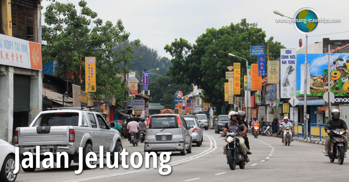
 Jalan Jelutong, Penang (22 September 2012)
Jelutong Main Road or Jalan Jelutong is one of the major roads out of George Town. It starts immediately after the Sungai Pinang Bridge, near Masjid Maqbul, and ends at Bukit Dumbar in Gelugor.
Jelutong is named after the tree Dyera costulata, which is now commercially grown for timber. There is presently no available documentation of how Jelutong in Penang got its name, other than the obvious, that the area has numerous Jelutong trees. The earliest settlers in Jelutong are the Malays and North Sumatrans. They created settlements along Sungai Pinang. Places such as Kampung Rawa trace its origin to the original settlers which arrived even earlier than Francis Light.
 Map of Jalan Jelutong
 Residential Properties along Jalan Jelutong
- D'Mansion @ Dumbar Heights (GPS: 5.3866, 100.31279)

- H2O Condominium (GPS: 5.39696, 100.31924)

- Straits Garden (GPS: 5.39515, 100.31753)

- Taman Cemerlang Apartment (GPS: 5.39752, 100.31881)

- Taman Mutiara Vista (GPS: 5.39849, 100.32088)

 Sights along Jalan Jelutong
- Cheoh Thau Kong Temple (GPS: 5.39509, 100.31784)

- Hsieh Thien Kong Temple (GPS: 5.38728, 100.31275)

- Kang Har Tong (GPS: 5.4011, 100.32269)

- Leng Eng Tong
- Masjid Jamek Jelutong (GPS: 5.39174, 100.31404)

- Masjid Maqbul (GPS: 5.40428, 100.32596)

- Menara Riverview (GPS: 5.40268, 100.32554)

- Richmond Residences (GPS: 5.39222, 100.31546)

- Sheikh Al-Hadi's House (GPS: 5.39362, 100.31515)

- SJKC Moh Ghee Cawangan (GPS: 5.40035, 100.32167)

- SK Jelutong (GPS: 5.39473, 100.31674)

- Sungai Pinang Bridge (GPS: 5.40428, 100.32596)

Petrol Stations along Jalan Jelutong
- BHP Petrol Jalan Jelutong (GPS: 5.39987, 100.32213)

- Petron Jalan Jelutong (GPS: 5.39954, 100.3215)

- Petron Solok Perak (GPS: 5.39398, 100.31541)

- Shell Jalan Jelutong (GPS: 5.39572, 100.31813)

 Coffee Shops and Restaurants along Jalan Jelutong
- Ali Ameir Nasi Kandar
- Hameediyah Restaurant Jelutong Branch
- Hong Shen Stall
- Jelutong 7-Eleven Coffee Shop
- Kafe Bamboo
- Kang Beef House
- Kedai Kopi Lum Kah
- Kedai Kopi Tai Min
- Restoran Deen (GPS: 5.38793, 100.31253)

- Restoran Janaki Vilas
- Tapak Penjaja Jalan Jelutong (GPS: 5.38791, 100.31288)

 Businesses along Jalan Jelutong
- Sime Darby Auto Hyundai (GPS: 5.40184, 100.32308)

- UMW Toyota Motor (GPS: 5.40355, 100.32537)

Streets off Jalan Jelutong
Jelutong developed as a working class neighbourhood for George Town. In the mid 19th century, when the land there was newly cleared, Jelutong was farmland. This eventually was replaced by all forms of industries, many of which use the Sungai Pinang river as a waste disposal, making it one of the most polluted in the country. In recent years, the river will undergo rehabilitation, which hopefully will clean it up and make it a pristine waterway.
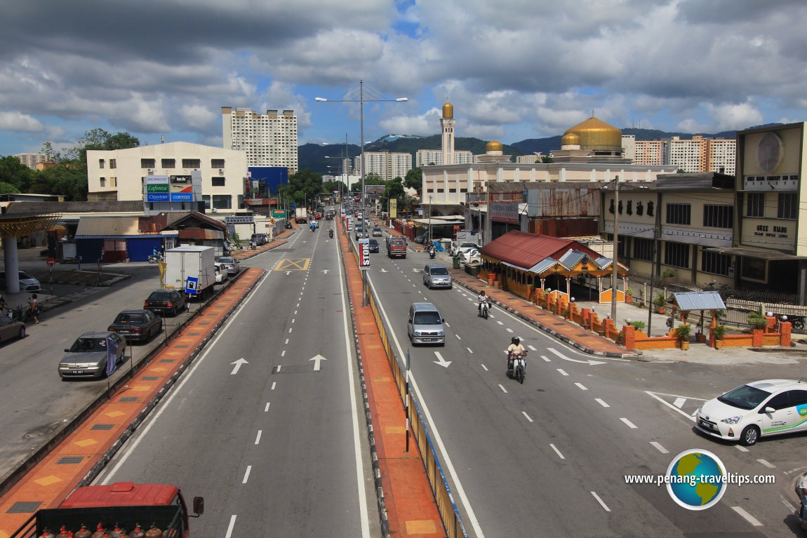 View of Jalan Jelutong (4 June 2013)
Getting there
From the Weld Quay Ferry & Bus Terminal, take Rapid Penang Bus Nos 301, 302, 401 and 704 that pass through Jalan Jelutong.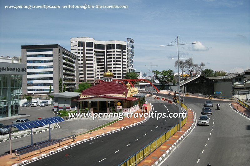 View of Jelutong with Masjid Maqbul and Sungai Pinang Bridge (2 December 2008)
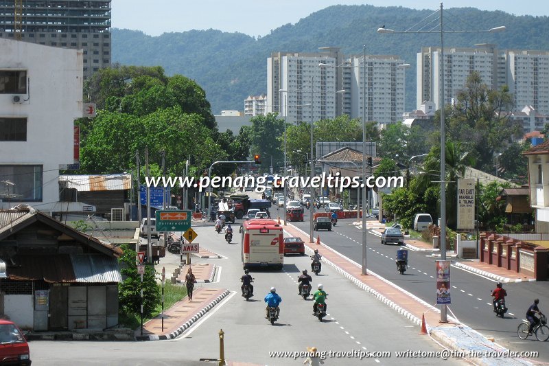 Jalan Jelutong, near Perak Lane junction (2 December 2008)
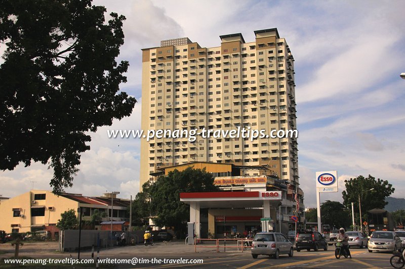 Jelutong near the Perak Lane junction (6 October 2012)
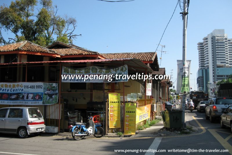 Old houses along Jalan Jelutong, near the junction with Sungai Pinang Road (20 December 2008)
List of Streets in Penang and Streets in Malaysia

Copyright © 2003-2025 Timothy Tye. All Rights Reserved.

 Go Back