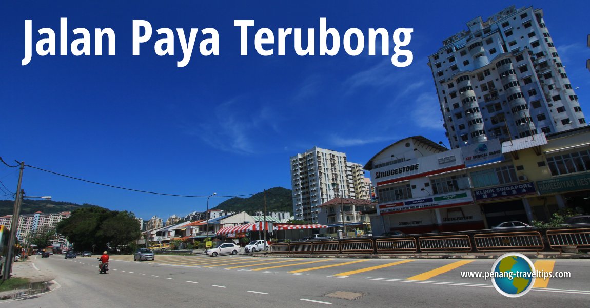
 Jalan Paya Terubong (10 February 2013)
Jalan Paya Terubong is one of the main roads on Penang Island. It runs through the central part of the island connecting Air Itam to the north with Relau in the south, a distance of some 8.4 km. The road itself was named after the township of Paya Terubong, which began as a hill village in the centre of the island.
Once a hill path, Jalan Paya Terubong has seen an increase in traffic over the past two decades. This is attributed to the increase in the population of Paya Terubong. As many work in the Bayan Lepas area, Jalan Paya Terubong forms the only artery connecting the two areas. As a result, the road is highly congested particularly during the morning and evening rush hour.
 Map of Jalan Paya Terubong, Penang
Commercial properties along Jalay Paya Terubong
- Goldhill Complex (GPS: 5.37358, 100.27585)

Markets along Jalay Paya Terubong
- Ayer Itam Market (GPS: 5.40124, 100.27803)

 Mosques along Jalay Paya Terubong
- Masjid Jamek Paya Terubong (GPS: 5.39958, 100.27825)

 Churches along Jalay Paya Terubong
- Ayer Itam Chinese Methodist Church (GPS: 5.4004, 100.27857)

Miscellaneous sights along Jalan Paya Terubong
- Leng How Koe Columbarium & Funeral Parlour (GPS: 5.38539, 100.27467)

- Paya Terubong Fire & Rescue Department (GPS: 5.3896, 100.27526)

- Paya Terubong Hokkien Cemetery (GPS: 5.38263, 100.27459)

- Permata Sports Complex (GPS: 5.39164, 100.27661)

- Pusat Pertanian Relau (GPS: 5.34012, 100.27467)

 Eateries along Jalan Paya Terubong
- Air Itam Market Food Court (GPS: 5.40159, 100.27809)

Petrol Stations along Jalan Paya Terubong
- Petronas Paya Terubong (GPS: 5.3714, 100.27469)

- Petronas Relau (GPS: 5.33792, 100.27429)

- Shell Paya Terubong (GPS: 5.38483, 100.27467)

- Shell Relau (GPS: 5.33745, 100.27453)

Shopping Centres along Jalan Paya Terubong
- Econsave Farlim (GPS: 5.38552, 100.27611)

Schools along Jalan Paya Terubong
- Sekolah Kebangsaan Seri Relau (GPS: 5.33322, 100.27593)

- SRJK (C) Kong Min Cawangan Kedua (GPS: 5.39527, 100.27611)

Residential Properties and Neighbourhoods along Jalan Paya Terubong
- Eco Terraces by EcoWorld
- Emerald Heights
- GL Garden Apartment (GPS: 5.38838, 100.27332)

- Golden Triangle Condominium (GPS: 5.33177, 100.27607)

- Green Garden Apartment (GPS: 5.36598, 100.27245)

- Happy Valley
- Majestic Heights Phase 1 (GPS: 5.3634, 100.27471)

- Majestic Heights Phase 2A (GPS: 5.36679, 100.27513)

- Relau Intan Apartment (GPS: 5.33851, 100.27403)

- Taman Lone Pine (GPS: 5.38596, 100.27535)

Getting there
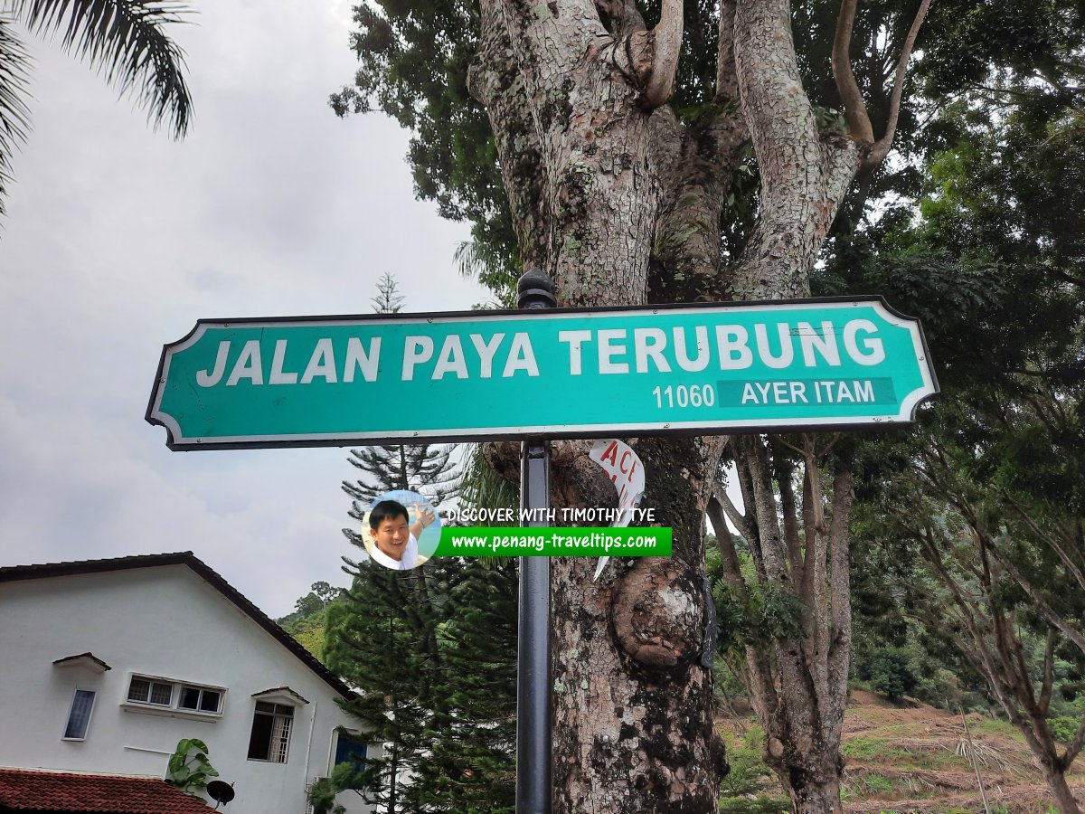
Jalan Paya Terubong is served by Rapid Penang bus 201, 203 and 502. Jalan Paya Terubong roadsign (6 January 2021)
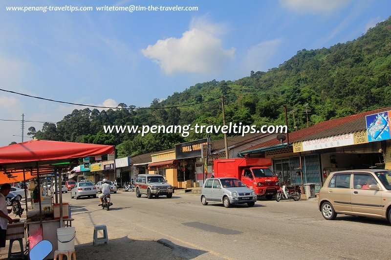
 Jalan Paya Terubong in Paya Terubong (23 March 2013)
List of Streets in Penang and Streets in Malaysia

Copyright © 2003-2025 Timothy Tye. All Rights Reserved.

 Go Back