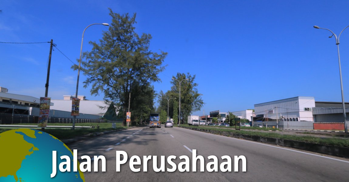
 Jalan Perusahaan, Perai (11 December 2017)
Jalan Perusahaan is a major road in Perai. It connects Jalan Estate, at the intersection with Jalan Juru, in the south; with Jalan Chain Ferry, at the intersection with Jalan Perai and Jalan Baru.
Jalan Perusahaan serves the Perai Industrial Estate. As such, it is often congested during the morning and evening rush hours. At other times of the day, the road is used by big, heavy vehicles such as large trucks and lorries.
Map of Jalan Perusahaan
 Sights along Jalan Perusahaan
- Ikan Bawal @ Juru, Warung Kelapa Sawit (GPS: 5.37297, 100.38129)

- Jalan Perusahaan Roundabout (GPS: 5.37297, 100.38129)

- Juru Auto City (GPS: 5.33743, 100.43047)

- Petronas Gas Station Juru (GPS: 5.3257, 100.4349)

- Petronas Gas Station Perai (GPS: 5.3716, 100.38316)

- Penang Bridge Interchange (GPS: 5.36474, 100.39677)

- Sekolah Kebangsaan Khir Johari (GPS: 5.3839, 100.38744)

- Shell Petrol Station (GPS: 5.35237, 100.4188)

- Wellesley Home (GPS: 5.35572, 100.41376)

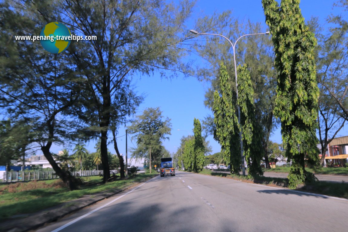
 Jalan Perusahaan, Perai (11 December 2017)
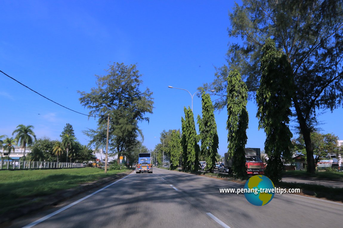
 Jalan Perusahaan, Perai (11 December 2017)
Jalan Perusahaan on Google Maps Street View
List of Streets in Penang and Streets in Malaysia

Copyright © 2003-2025 Timothy Tye. All Rights Reserved.

 Go Back