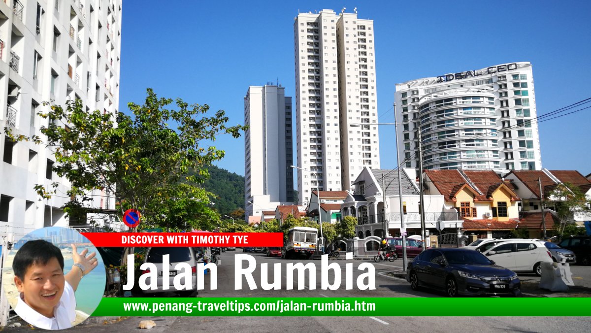
 Jalan Rumbia, Bukit Jambul, Penang (26 December 2019)
Jalan Rumbia is one of the main roads in the Bukit Jambul part of Bayan Lepas, Penang. It was laid out following the development of Bukit Jambul Complex. It is V-shaped. One end intersects Solok Kampung Relau 1 while the other end joins Jalan Bukit Gambir. In between, Jalan Rumbia forms junctions with other minor roads including Lorong Relau 1, Lorong Relau 2, Lorong Rumbia 1 and Lorong Rumbia 2.
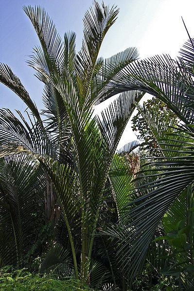
Jalan Rumbia is named after a family of palm trees, of the genus Metrosylon, of which Metroxylon sagu is the sago palm.
Getting there
The Bukit Jambul bus station along Jalan Tun Dr Awang is the main bus stop in the area. Located about 25 meters from Jalan Rumbia, it is served by Rapid Penang bus 301, 303, 304, 305, 306, 307, 308, 309 and 401E.Map of Jalan Rumbia
 Sights along Jalan Rumbia
- Bukit Jambul Complex (GPS: 5.33412, 100.29104)

- Vistana Penang Bukit Jambul Hotel (GPS: 5.3363, 100.29177)

 Jalan Rumbia, Bukit Jambul (10 March 2012)
 The sago palm (Metroxylon sagu), also known as rumbia in Malay
Author: W.A. Djatmiko (Creative Commons Attribution 3.0 Unported)
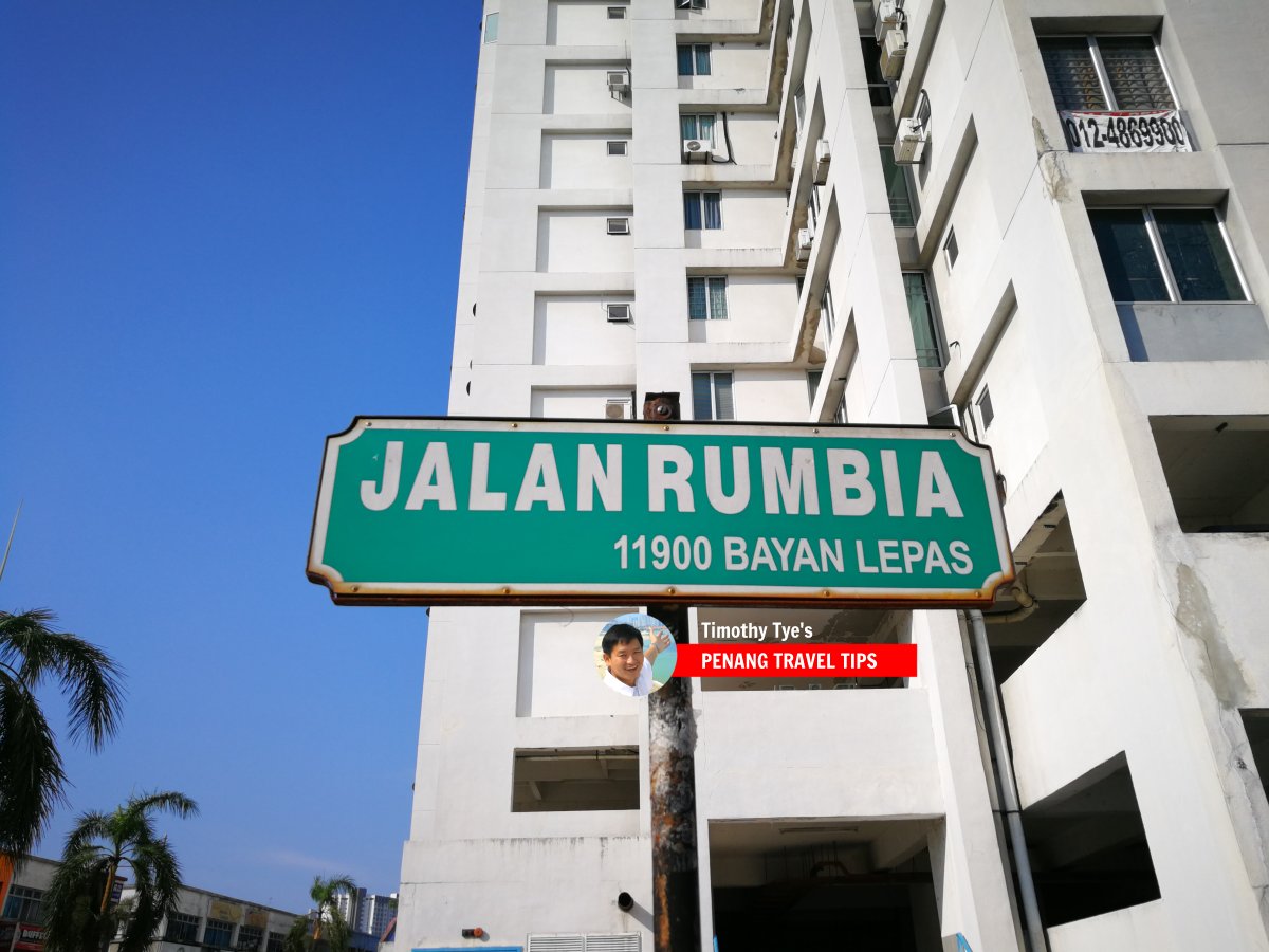
 Jalan Rumbia roadsign (26 December 2019)
Jalan Rumbia on Google Street View
(Jan 2019)List of Streets in Penang and Streets in Malaysia

Copyright © 2003-2025 Timothy Tye. All Rights Reserved.

 Go Back