 Jalan Tengah, Bayan Baru, Penang (7 January 2023)
Jalan Tengah is the of both the main road as well as residential neighbourhood in Bayan Baru, Penang. It is also one of the oldest roads in the area, having existed since the early part of the 20th century. It got its name, which means "middle road", from its location it was the only road that went across the paddy fields of the then Sungai Nibong, linking Bayan Lepas to Sungai Ara. At that time, Bayan Baru has not yet appeared on the map.
Today everything is different, and Jalan Tengah has become one of the busiest road in the township. From a small two-lane country road, it has grown to four lanes thoroughfare. In the early part of the 21st century, urban development in the area resulted in road realignment that fragmented Jalan Tengah into two parts. The eastern segment runs from Jalan Sultan Azlan Shah to Jalan Tun Dr Awang, where it meets the newly created Jalan Bayan. A rump portion of Jalan Tengah continues from Jalan Tun Dr Awang to Jalan Dato Ismail Hashim. The two segments are not directly connected.
 Map of Jalan Tengah, Penang
Petrol stations along Jalan Tengah
- Caltex Jalan Tengah (GPS: 5.31947, 100.28462)

- Petron Jalan Tengah (GPS: 5.32084, 100.28318)

Schools along Jalan Tengah
- Sekolah Menengah Kebangsaan Raja Tun Uda (GPS: 5.32036, 100.28252)

- Sekolah Kebangsaan Seri Permai (GPS: 5.32009, 100.28387)

Hypermarkets along Jalan Tengah
- Giant Hypermarket (GPS: 5.32181, 100.2866)

Hospitals and public clinics along Jalan Tengah
- Klinik Kesihatan Bayan Baru (GPS: 5.32062, 100.27988)

- Pantai Hospital (GPS: 5.32181, 100.2866)

Amenities along Jalan Tengah
- Bayan Baru Police Station (GPS: 5.32089, 100.27892)

- Jalan Tengah Fire Station (GPS: 5.3204, 100.28063)

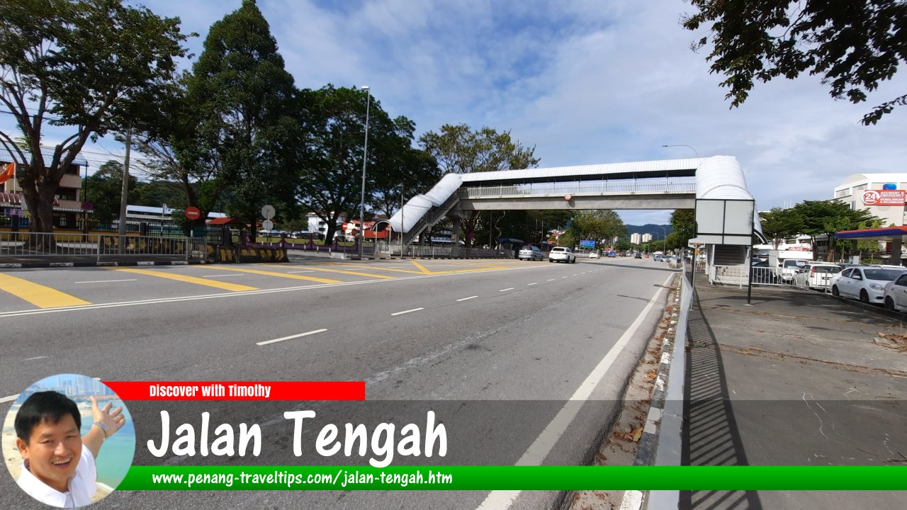
- Jalan Tengah Pedestrian Bridge (GPS: 5.3204, 100.2834)

 Sights along Jalan Tengah
- Giant Hypermarket (GPS: 5.32181, 100.2866)

- Pantai Hospital (GPS: 5.32181, 100.2866)

- Poh beng Estate Durian Stall (GPS: )

Neighbourhoods of Jalan Tengah
- Jalan Tengah Flats (GPS: 5.31906, 100.28673)

- Bukit Gedung
- Sunway Tunas
- Taman Sri Tunas (GPS: 5.32181, 100.2866)

Food & Beverage Outlets in the Jalan Tengah neighbourhood
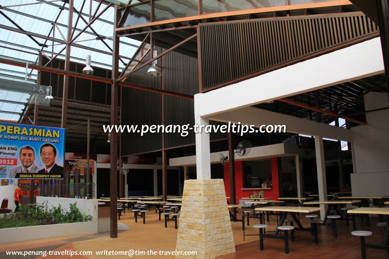
 Interior of the Bukit Gedung Food Court in Bukit Gedung, Jalan Tengah (15 September 2012)
Amenities in Jalan Tengah
Schools in Jalan Tengah include Sekolah Menengah Kebangsaan Raja Tun Uda, Sekolah Rendah Kebangsaan Seri Permai while Sekolah Rendah Jenis Kebangsaan (Cina) Chong Cheng is in Sungai Ara. The nearest market from Jalan Tengah is the Bayan Baru Market as well as the Sungai Ara Market. The nearest shopping mall is Sunshine Square while the nearest hypermarket is Giant Hypermarket. Petrol stations in and around Jalan Tengah include the Caltex in Jalan Tengah and the Shell along Jalan Mayang Pasir. Pantai Hospital is also along Jalan Tengah.Going to Jalan Tengah by public transport
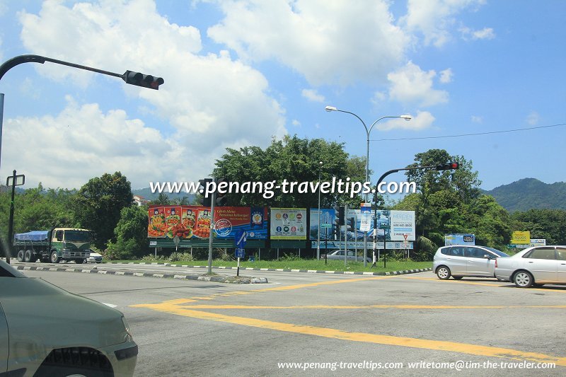
Rapid Penang Bus 302, 305, 306, 307, 308 and 401 pass through Jalan Tengah. Jalan Tengah intersection (27 October 2012)
Traffic in Jalan Tengah
The traffic along Jalan Tengah has increased over the last four decades. From a simple two-lane road, Jalan Tengah has grown to four lanes. Still, it is quite congested especially during the morning and evening rush hour. Much of the traffic along Jalan Tengah is from motorists passing through the area between the Bayan Lepas Free Trade Zone and Sungai Ara, Relau and Paya Terubong.List of Streets in Penang and Streets in Malaysia

Copyright © 2003-2025 Timothy Tye. All Rights Reserved.

 Go Back