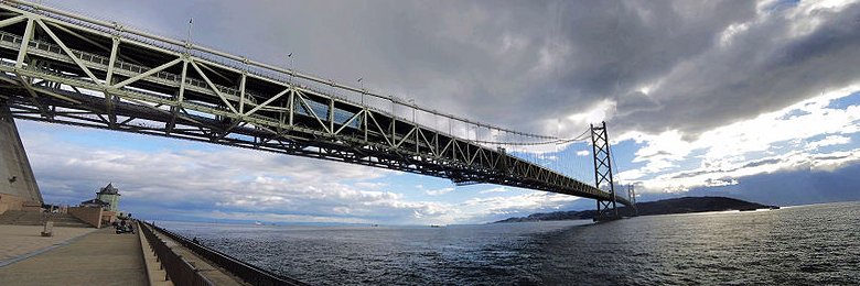
 Akashi-Kaikyo Bridge, Kobe
Source: http://commons.wikimedia.org/wiki/File:Akashi_Kaikyo_Bridge.jpg
Author: 百楽兎

Author: 百楽兎

Hyogo Prefecture (兵庫県) is a prefecture within the Kansai region of central Japan. It covers 8.393 sq km and is the 12th biggest prefecture in the country. Hyogo Prefecture has a population of 5.6 million people (2011 estimate), putting it in 8th position out of the 47 prefectures of Japan. The prefectural capital is the city of Kobe.
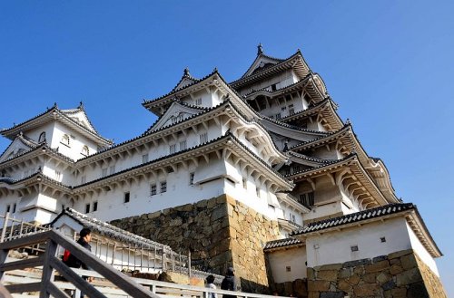 Himeji Castle, Hyogo Prefecture
Source: http://commons.wikimedia.org/wiki/File:Ch%C3%A2teau_de_Himeji_Japon_02.jpg
Author: Charles Traband

Author: Charles Traband

Hyogo Prefecture was formed by merging together the former provinces of Harima, Tajima, Awaji and parts of Tamba and Settsu. The city of Kobe once served as an interim capital of Japan during the Heian Period, when Emperor Antoku moved the Imperial Court there in 1180. At that time, it was known as Fukuhara, and it served as the capital for a mere five months.
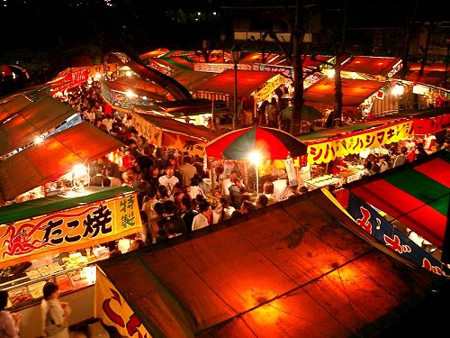 Food stalls set up during the Hana Matsuri festival
Source: http://commons.wikimedia.org/wiki/File:Yomise%28Yatai%29.JPG
Author: Tomomarusan

Author: Tomomarusan

Hyogo Prefecture covers both sides of the island of Honshu, with the Sea of Japan to the north and the Inland Sea to the south. It borders Kyoto Prefecture to the northeast, Osaka Prefecture to the east, Okayama Prefecture to the southwest and Tottori Prefecture to the northwest. Located in the Inland Sea between mainland Hyogo Prefecture and the island of Shikoku is Awaji Island, also part of Hyogo Prefecture. Most of the population of Hyogo Prefecture is concentrated on the south, within the Osaka-Kyoto-Kobe metropolitan area.
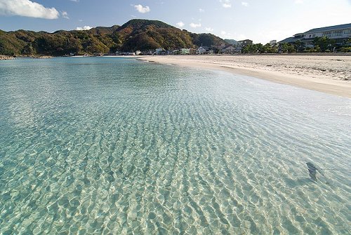 Takeno Beach, Sanin Kaigan National Park
Source: http://en.wikipedia.org/wiki/File:TakenoBeach_Hyogo_prefecture.jpg
Author: Hashi photo

Author: Hashi photo

Going to Hyogo Prefecture
By PlaneYou can land at the Kobe Airport (UKB), or for better connections, choose the Kansai International Airport (KIX). Even the Osaka Itami Airport (ITM) is an option, as it is the busiest domestic airport in the Kansai region.
By Train
The Nozomi Shinkansen bullet train gets you from Tokyo Station to Shin-Kobe Station in 2 hours 50 minutes and costs ¥14,670. The Hikari Shinkansen bullet train takes 3 hours and 20 minutes for ¥14,270 (no charge if you hold a Japan Rail Pass).
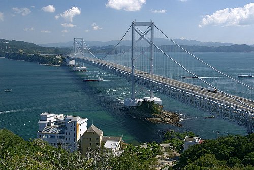 Onaturo Bridge connecting Kobe with Naruto in Tokushima Prefecture
Source: http://commons.wikimedia.org/wiki/File:Big_Naruto_Bridge05n3872.jpg
Author: 663highland

Author: 663highland

Main Cities of Hyogo Prefecture
Tourist Attractions of Hyogo Prefecture
- Arima Onsen
- Awaji Island
- Shinonsen
National Parks of Hyogo Prefecture
- Hyonosen-Ushiroyama-Nagisan Quasi-National Park
- Sanin Kaigan National Park
- Setonaikai National Park
 Latest updates on Penang Travel Tips
 Map of Roads in Penang
Looking for information on Penang? Use this Map of Roads in Penang to zoom in on information about Penang, brought to you road by road.
Copyright © 2003-2025 Timothy Tye. All Rights Reserved.

 Go Back