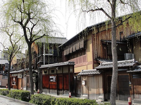
Gion District (GPS: 35.00395, 135.77419) is the best known geisha quarter in Japan. It is located in Kyoto, between the Kamo River to the west and the Higashiyama to the east. The Gion District is where a Japanese man with the pocket for it find wine and women, and of late, karaoke.
This entertainment precinct of Kyoto began during feudal times, when stalls were set up here for the benefit of pilgrims. These evolved into teahouses, as appetite gets more refined. The kabuki, which has its genesis along the banks of the Kamo River nearby, relocated here by the late 16th century.
Sights in the Gion District, Kyoto
- Gion Kobu Kaburenjo: Kabuki practice hall for geishas in Gion district.
- Hanamikoji: The most classy part of Gion district.
- Ichiriki Ochaya: The most famous ochaya, or tea house, in Kyoto.
- Maruyama Park: Park famous for viewing cherry blossoms in Kyoto.
- Minami-za: One of the oldest kabuki theatres in Kyoto.
- Shinbashi: Street in the Gion district lined with tea houses.
- Tatsumi Daimyo-jin: Small shrine on the eastern end of Shinbashi.
- Yasaka Shrine: Shrine established in AD 656 in the Gion district.
Members' Travel Shots of Gion District
- Winnie Tan posted on street performance during the Gion Matsuri festival on 5 October, 2019
 Gion District, Kyoto
Source: http://commons.wikimedia.org/wiki/File:Gion_street.jpg
Author: RachelH_

Author: RachelH_

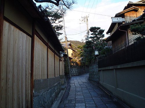
 Alley in East Gion District, Kyoto
Source: http://commons.wikimedia.org/wiki/File:East_Gion.jpg
Author: Aleksander Dragnes

Author: Aleksander Dragnes

Gion District is  on the Map of Kyoto
 Latest updates on Penang Travel Tips
 Map of Roads in Penang
Looking for information on Penang? Use this Map of Roads in Penang to zoom in on information about Penang, brought to you road by road.
Copyright © 2003-2025 Timothy Tye. All Rights Reserved.

 Go Back