Hamura (Japanese: 羽村市) is a city on the western edge of Tokyo Metropolis, Japan. It covers 9.91 sq km (3.83 sq mi) and has a population of 57,000 people (2012 estimate). The Tama River flows through it.
Hamura is bordered by Akiruno, Fussa, Ōme and Mizuho. The area has been inhabited since the paleolithic period, and has yielded artifacts from the Jōmon, Yayoi and Kofun periods.
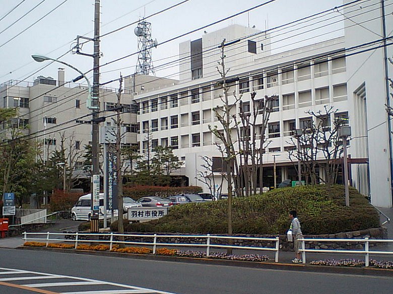
 Hamura City Hall, Hamura, Tokyo
Source: http://commons.wikimedia.org/wiki/File:Hamura_City_Hall.jpg
Author: Hanasakijijii

Author: Hanasakijijii

Present-day Hamura dates from the Meiji Restoration, when a number of hamlets were merged to form Nishitama Village, within Kanagawa Prefecture. Nishitama was transferred to Tokyo Prefecture, the precursor of Tokyo Metropolis, on 1893. In 1956, Nishitama was renamed Hamura, and on 1 November 1991, Hamura was given city status.
Going to Hamura
Going there by train, take the JR East Ōme Line, which stops at the Hamura and Ozaku stations. By road, use the Ken-Ō Expressway or the Japan National Route 16. Latest updates on Penang Travel Tips
 Map of Roads in Penang
Looking for information on Penang? Use this Map of Roads in Penang to zoom in on information about Penang, brought to you road by road.
Copyright © 2003-2025 Timothy Tye. All Rights Reserved.

 Go Back